STS61A-33-52
| NASA Photo ID | STS61A-33-52 |
| Focal Length | 100mm |
| Date taken | 1985.10.31 |
| Time taken | 17:27:19 GMT |
Cloud masks available for this image:
Spacecraft nadir point: 45.9° N, 70.3° W
Photo center point: 46.5° N, 70.5° W
Photo center point by machine learning:
Photo center point: 46.5° N, 70.5° W
Photo center point by machine learning:
Nadir to Photo Center: North
Spacecraft Altitude: 181 nautical miles (335km)
Country or Geographic Name: | CANADA-Q |
Features: | QUEBEC |
| Features Found Using Machine Learning: | |
Cloud Cover Percentage: | 0 (no clouds present) |
Sun Elevation Angle: | 28° |
Sun Azimuth: | 197° |
Camera: | Hasselblad |
Focal Length: | 100mm |
Camera Tilt: | 12 degrees |
Format: | 5017: Kodak, natural color positive, Ektachrome, X Professional, ASA 64, standard base |
Film Exposure: | Normal |
| Additional Information | |
| Width | Height | Annotated | Cropped | Purpose | Links |
|---|---|---|---|---|---|
| 5700 pixels | 5900 pixels | No | No | Download Image | |
| 500 pixels | 518 pixels | No | No | Download Image | |
| 640 pixels | 480 pixels | No | No | Download Image |
Download Packaged File
Download a Google Earth KML for this Image
View photo footprint information
Download a GeoTIFF for this photo
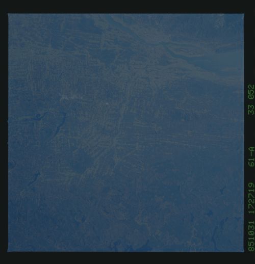
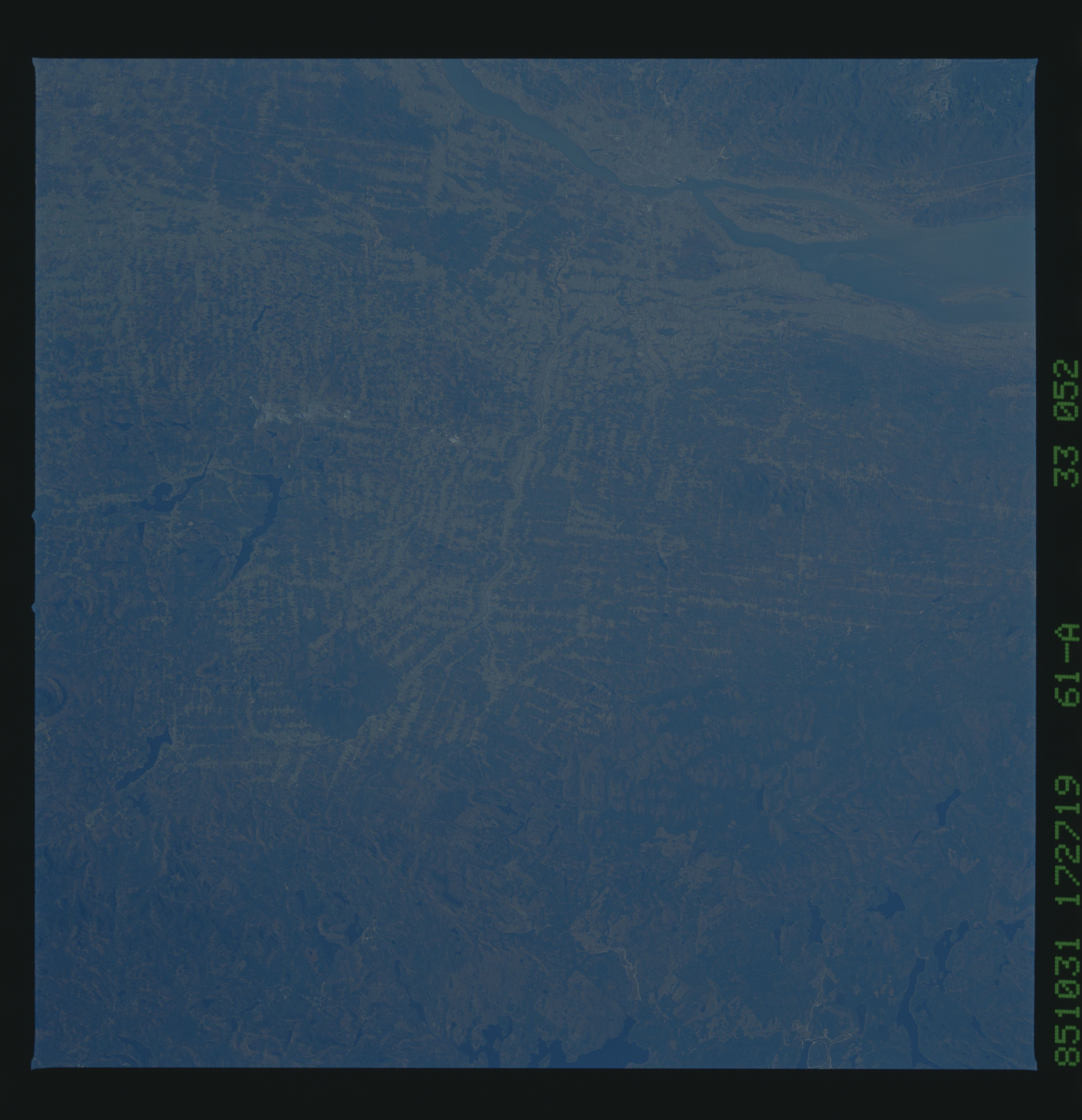
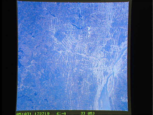
Image Caption: STS61A-33-052 Quebec, Canada The Saint Lawrence River is located
north, or at the top right of this view. The Island of d'Orleans can
be seen in the Saint Lawrence. The city of Quebec, with a population
appromately 600 000 is visible as a gray area to the left of Island
d'Orleans and along the Saint Lawrence River. The linear patterns to
the southeast of Quebec are narrow, rectangular farms which are
typically perpendicular to rivers so that each farmer will have access
to water. W147
