STS61A-33-48
| NASA Photo ID | STS61A-33-48 |
| Focal Length | 100mm |
| Date taken | 1985.10.31 |
| Time taken | 17:26:32 GMT |
Resolutions offered for this image:
3904 x 3936 pixels 634 x 639 pixels 5700 x 5900 pixels 500 x 518 pixels 640 x 480 pixels
3904 x 3936 pixels 634 x 639 pixels 5700 x 5900 pixels 500 x 518 pixels 640 x 480 pixels
Cloud masks available for this image:
Spacecraft nadir point: 43.9° N, 73.5° W
Photo center point: 45.0° N, 72.5° W
Photo center point by machine learning:
Photo center point: 45.0° N, 72.5° W
Photo center point by machine learning:
Nadir to Photo Center: Northeast
Spacecraft Altitude: 180 nautical miles (333km)
Country or Geographic Name: | USA-VERMONT |
Features: | LAKE CHAMPLAIN |
| Features Found Using Machine Learning: | |
Cloud Cover Percentage: | 0 (no clouds present) |
Sun Elevation Angle: | 30° |
Sun Azimuth: | 193° |
Camera: | Hasselblad |
Focal Length: | 100mm |
Camera Tilt: | 26 degrees |
Format: | 5017: Kodak, natural color positive, Ektachrome, X Professional, ASA 64, standard base |
Film Exposure: | Normal |
| Additional Information | |
| Width | Height | Annotated | Cropped | Purpose | Links |
|---|---|---|---|---|---|
| 3904 pixels | 3936 pixels | No | No | Earth From Space collection | Download Image |
| 634 pixels | 639 pixels | No | No | Earth From Space collection | Download Image |
| 5700 pixels | 5900 pixels | No | No | Download Image | |
| 500 pixels | 518 pixels | No | No | Download Image | |
| 640 pixels | 480 pixels | No | No | Download Image |
Download Packaged File
Download a Google Earth KML for this Image
View photo footprint information
Download a GeoTIFF for this photo
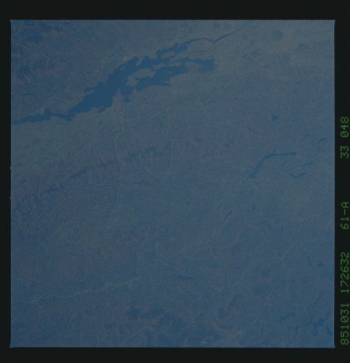
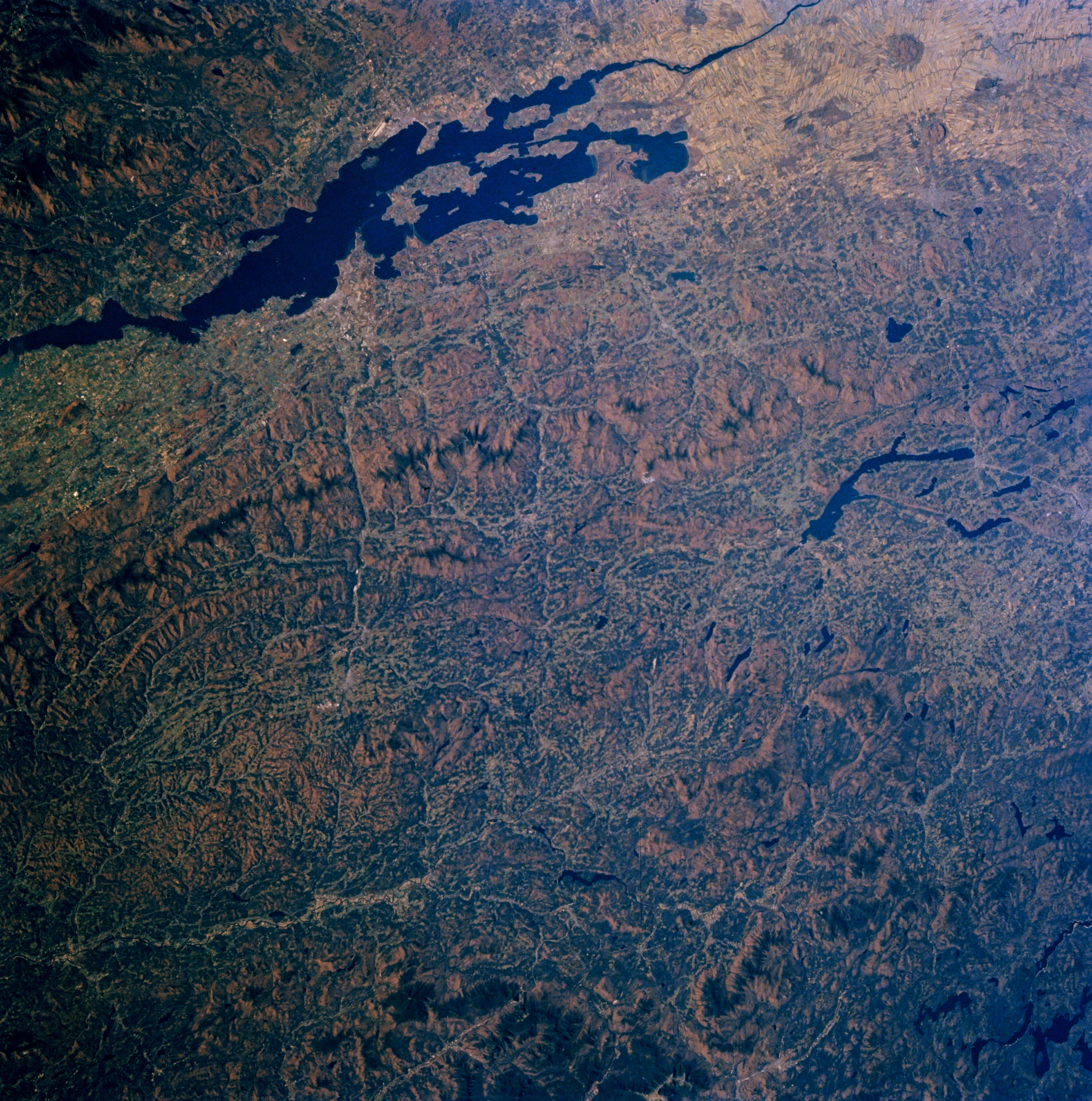
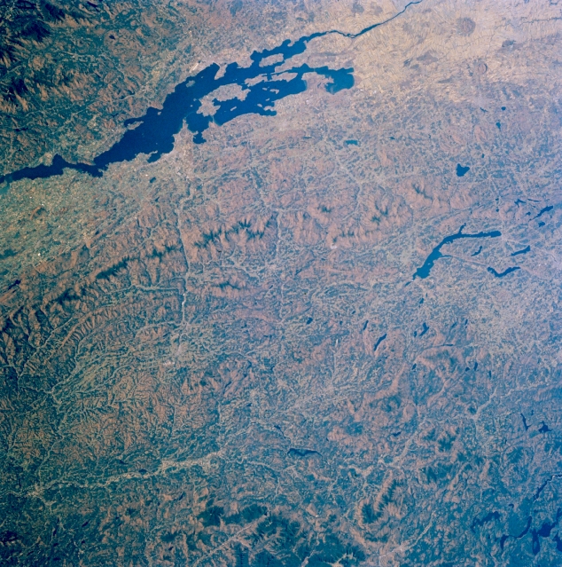
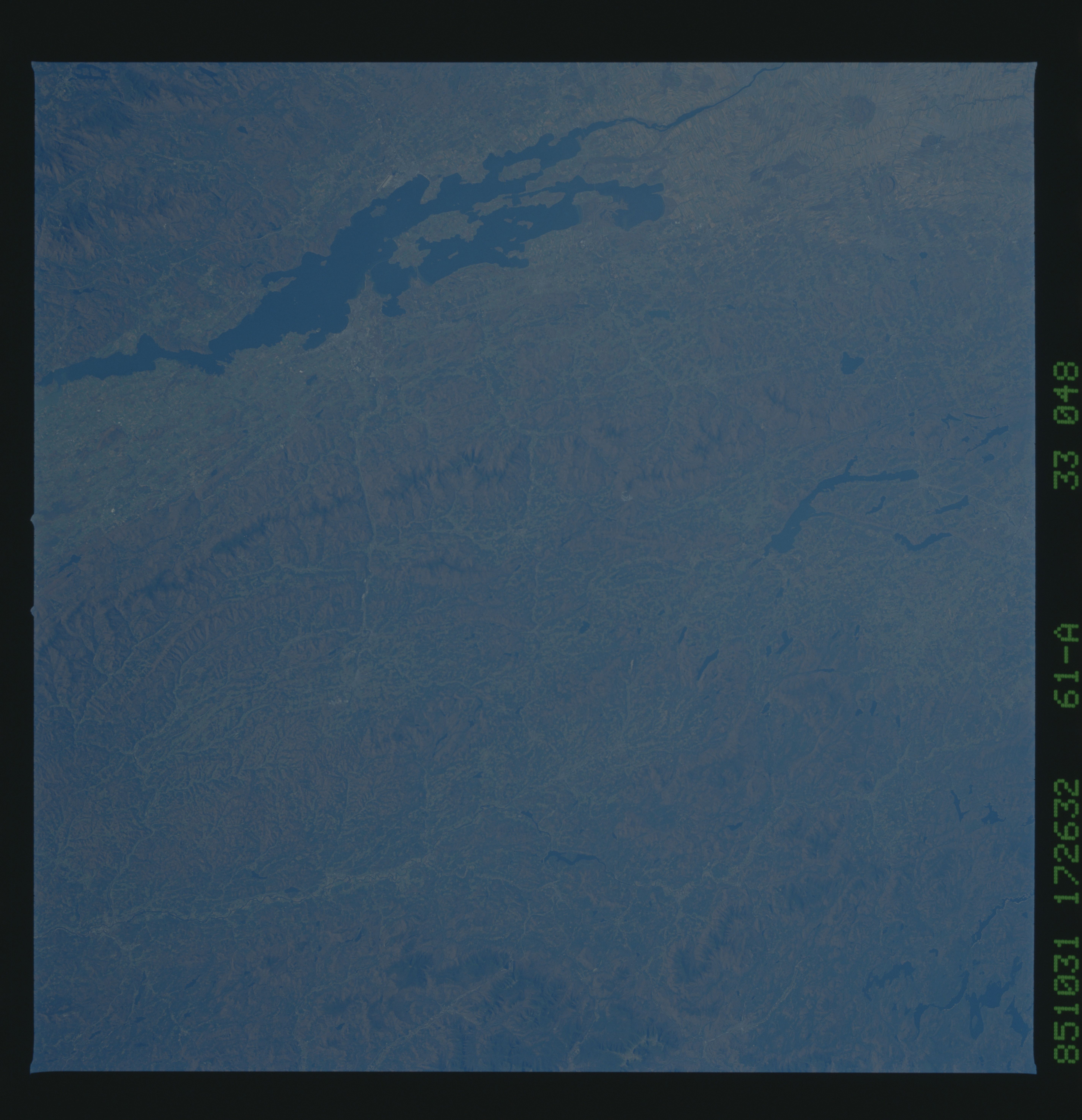
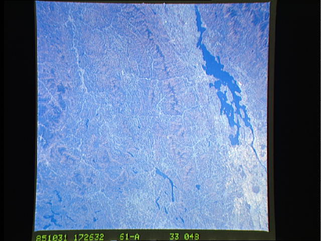
Image Caption: STS61A-33-0048 Lake Champlain and Green Mountains, Vermont, U.S.A. November 1985
The forested Green Mountains, which extend from southwestern Quebec in Canada (right center) southward into northwest Massachusetts, are featured in this northwest-looking, low-oblique photograph. Containing some of the oldest rocks in North America; low, rounded peaks; fertile valleys; and many small streams, the Green Mountains are a vacation paradise with year-round resorts and recreational areas. Lake Champlain, 125 miles (201 kilometers) long and part of the Vermont-New York border, separates Vermont from the rugged Adirondack Mountains (upper left). Visible are three bodies of water--the Richelieu River, which drains Lake Champlain (right of upper center); large Lake Memphremagog, 30 miles (48 kilometers) long east of the Green Mountains (left center), which drains northward into the Saint Francis River in southern Quebec; and the Connecticut River, which separates Vermont and New Hampshire (bottom of photograph), east of which are the White Mountains of New Hampshire.
The forested Green Mountains, which extend from southwestern Quebec in Canada (right center) southward into northwest Massachusetts, are featured in this northwest-looking, low-oblique photograph. Containing some of the oldest rocks in North America; low, rounded peaks; fertile valleys; and many small streams, the Green Mountains are a vacation paradise with year-round resorts and recreational areas. Lake Champlain, 125 miles (201 kilometers) long and part of the Vermont-New York border, separates Vermont from the rugged Adirondack Mountains (upper left). Visible are three bodies of water--the Richelieu River, which drains Lake Champlain (right of upper center); large Lake Memphremagog, 30 miles (48 kilometers) long east of the Green Mountains (left center), which drains northward into the Saint Francis River in southern Quebec; and the Connecticut River, which separates Vermont and New Hampshire (bottom of photograph), east of which are the White Mountains of New Hampshire.
