STS51G-38-43
| NASA Photo ID | STS51G-38-43 |
| Focal Length | 250mm |
| Date taken | 1985.06.23 |
| Time taken | 14:33:02 GMT |
Resolutions offered for this image:
4088 x 4096 pixels 638 x 640 pixels 5700 x 5900 pixels 500 x 518 pixels 640 x 480 pixels 622 x 646 pixels
4088 x 4096 pixels 638 x 640 pixels 5700 x 5900 pixels 500 x 518 pixels 640 x 480 pixels 622 x 646 pixels

Cloud masks available for this image:
Spacecraft nadir point: 2.4° S, 78.9° W
Photo center point: 2.5° S, 80.0° W
Photo center point by machine learning:
Photo center point: 2.5° S, 80.0° W
Photo center point by machine learning:
Nadir to Photo Center: West
Spacecraft Altitude: 165 nautical miles (306km)
Country or Geographic Name: | ECUADOR |
Features: | GUAYAQUIL, RIO GUAYAS |
| Features Found Using Machine Learning: | |
Cloud Cover Percentage: | 20 (11-25)% |
Sun Elevation Angle: | 42° |
Sun Azimuth: | 54° |
Camera: | Hasselblad |
Focal Length: | 250mm |
Camera Tilt: | 22 degrees |
Format: | 5017: Kodak, natural color positive, Ektachrome, X Professional, ASA 64, standard base |
Film Exposure: | Under Exposed |
| Additional Information | |
| Width | Height | Annotated | Cropped | Purpose | Links |
|---|---|---|---|---|---|
| 4088 pixels | 4096 pixels | No | No | Earth From Space collection | Download Image |
| 638 pixels | 640 pixels | No | No | Earth From Space collection | Download Image |
| 5700 pixels | 5900 pixels | No | No | Download Image | |
| 500 pixels | 518 pixels | No | No | Download Image | |
| 640 pixels | 480 pixels | No | No | Download Image | |
| 622 pixels | 646 pixels | No | No | Download Image |
Download Packaged File
Download a Google Earth KML for this Image
View photo footprint information
Download a GeoTIFF for this photo
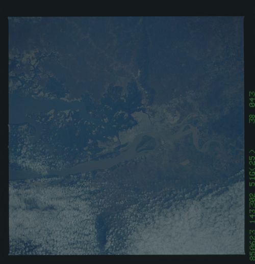
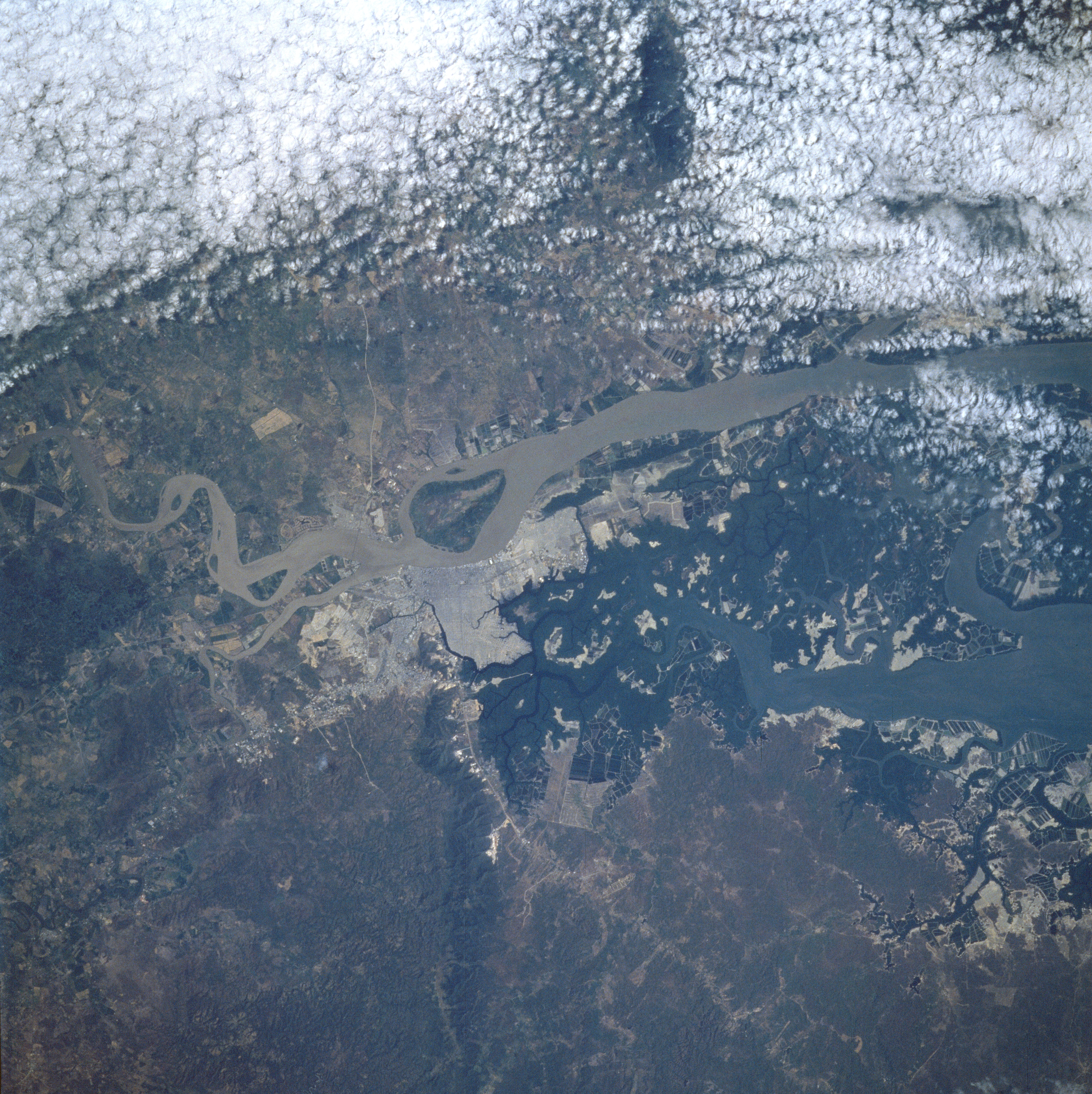
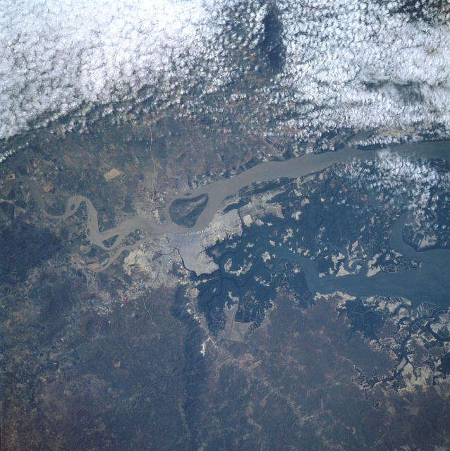
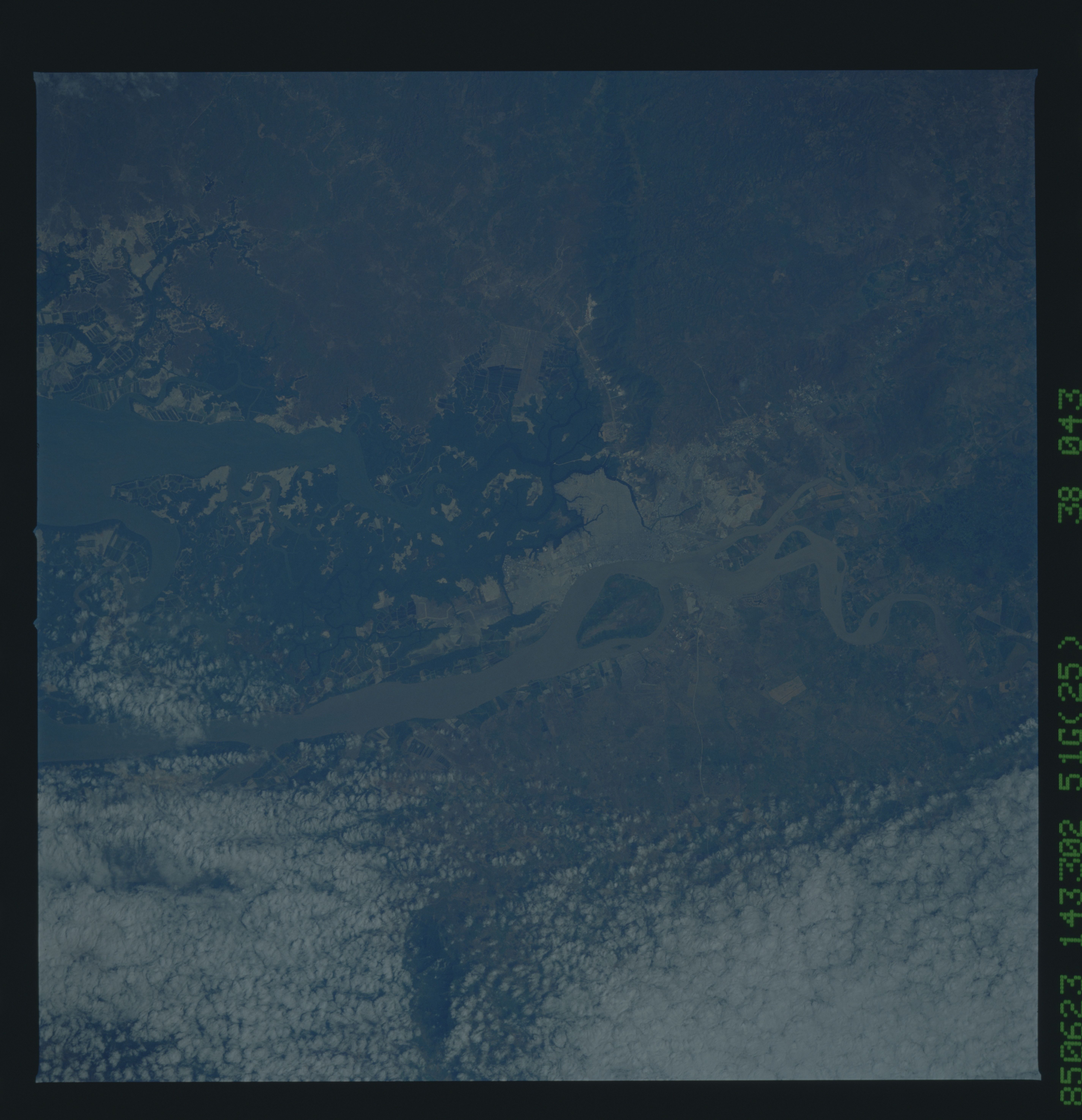
Image Caption: STS51G-38-0043 Guayaquil, Ecuador June 1985
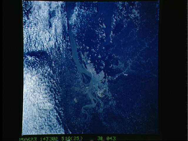
The largest city in Ecuador, Guayaquil, can be seen in this near-nadir view (north to left). Guayaquil is a bustling city combining the functions of a national port and manufacturing center, with good road and rail links to most of Ecuador. With the capture of Guayaquil from Spanish forces in 1821 and with Ecuador gaining independence from Spain shortly thereafter, the city began to grow in strategic and economic importance. The sediment-laden Guayas River spans the center of the image, and Santay Island is near the center of the view. A 33 foot (10 meter) deep channel is maintained from the comparatively sediment free Salado estuary (at right center) to the Gulf of Guayaquil and the Pacific Ocean, about 43 miles (70 km) from the Guayaquil's port facilities to the south of the city. Clouds cover the broad, poorly drained lowlands east of the city (upper portion of image). The low-flat-topped Blue Hills are discernible to the west of the city (bottom left).
The largest city in Ecuador, Guayaquil, can be seen in this near-nadir view (north to left). Guayaquil is a bustling city combining the functions of a national port and manufacturing center, with good road and rail links to most of Ecuador. With the capture of Guayaquil from Spanish forces in 1821 and with Ecuador gaining independence from Spain shortly thereafter, the city began to grow in strategic and economic importance. The sediment-laden Guayas River spans the center of the image, and Santay Island is near the center of the view. A 33 foot (10 meter) deep channel is maintained from the comparatively sediment free Salado estuary (at right center) to the Gulf of Guayaquil and the Pacific Ocean, about 43 miles (70 km) from the Guayaquil's port facilities to the south of the city. Clouds cover the broad, poorly drained lowlands east of the city (upper portion of image). The low-flat-topped Blue Hills are discernible to the west of the city (bottom left).
