STS51F-35-76
| NASA Photo ID | STS51F-35-76 |
| Focal Length | 250mm |
| Date taken | 1985.08.04 |
| Time taken | 10:12:16 GMT |
Cloud masks available for this image:
Spacecraft nadir point: 44.6° N, 76.1° E
Photo center point: 38.5° N, 73.0° E
Photo center point by machine learning:
Photo center point: 38.5° N, 73.0° E
Photo center point by machine learning:
Nadir to Photo Center: Southwest
Spacecraft Altitude: 176 nautical miles (326km)
Country or Geographic Name: | TAJIKISTAN |
Features: | LAKE KARAKUL |
| Features Found Using Machine Learning: | |
Cloud Cover Percentage: | 20 (11-25)% |
Sun Elevation Angle: | 41° |
Sun Azimuth: | 251° |
Camera: | Hasselblad |
Focal Length: | 250mm |
Camera Tilt: | Low Oblique |
Format: | 5017: Kodak, natural color positive, Ektachrome, X Professional, ASA 64, standard base |
Film Exposure: | Normal |
| Additional Information | |
| Width | Height | Annotated | Cropped | Purpose | Links |
|---|---|---|---|---|---|
| 5700 pixels | 5900 pixels | No | No | Download Image | |
| 500 pixels | 518 pixels | No | No | Download Image | |
| 640 pixels | 480 pixels | No | No | Download Image |
Download Packaged File
Download a Google Earth KML for this Image
View photo footprint information
Download a GeoTIFF for this photo
Image Caption:
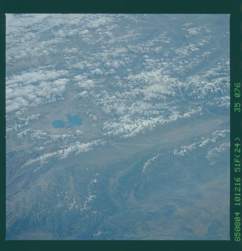
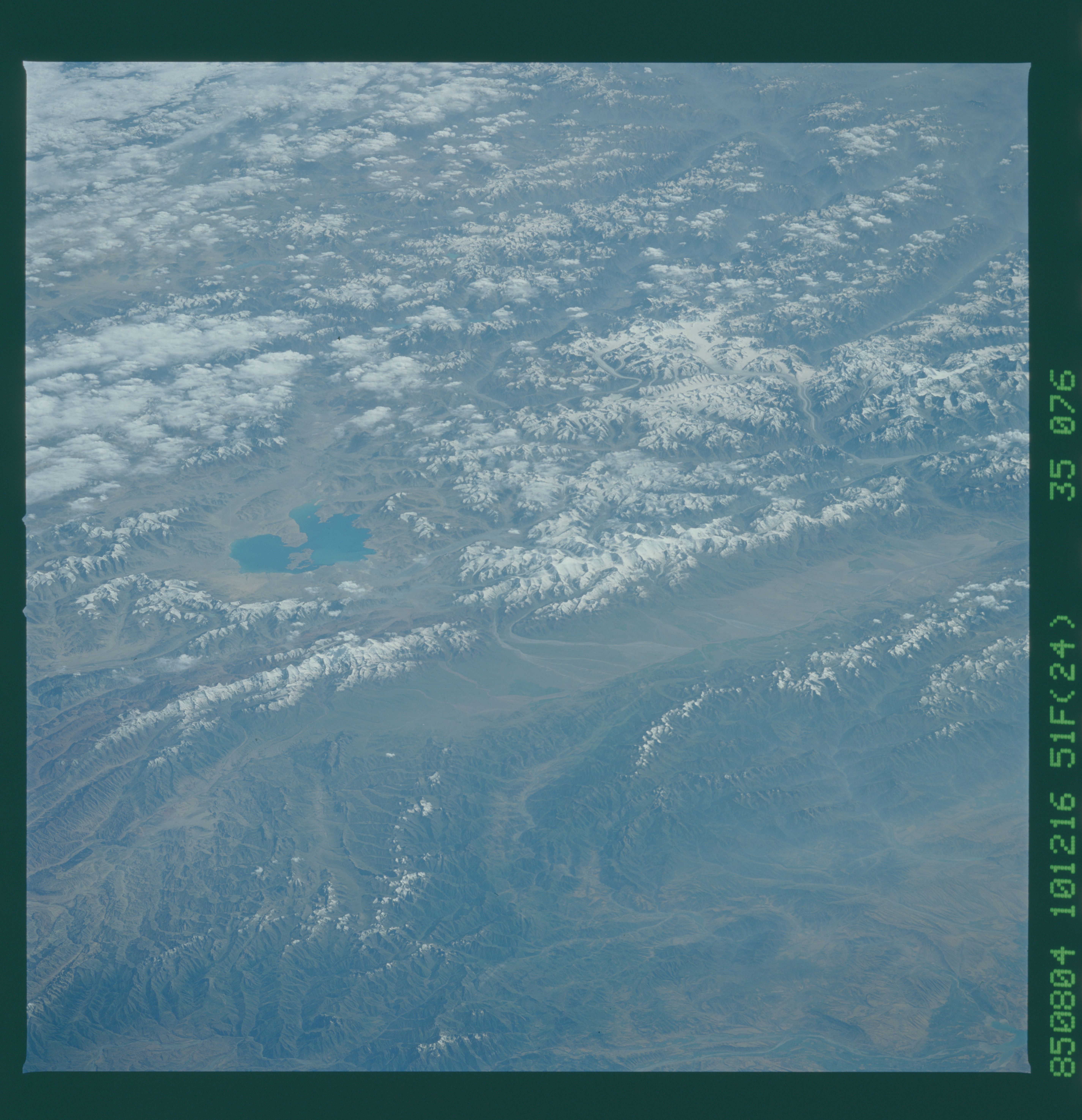
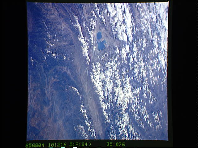
Communism Peak, Lenin Peak, Lake Karakul, Northern
Pamirs T105
View looking south shows the Zaalayskiy Mountains of the northern
Pamirs of south central Kazakhstan. Great alluvial fans can be
seen (left center) in the Syr' Dar'ya River Valley. Visible in
the view is Lake Karakul (1). Lenin Peak (2) at over 7100 meters
can also be seen. The highest point in Kazakhstan, Communism
Peak (3), at 7495 meters, with its glaciers traversing down its
slopes into narrow U-shaped valleys, are also visible. The
Pamirs, known to local inhabitants as the"Roof of the World", was
formerly a low plain. Uplifted, the Pamirs took on their present
shape because of glaciation and river erosion. During the recent
glaciation, only the highest peaks, like Lenin and Communism
Peaks, protruded above the then ice-covered landscape.
(STS51F-35-070, 076)
