STS51F-35-12
| NASA Photo ID | STS51F-35-12 |
| Focal Length | 250mm |
| Date taken | 1985.08.03 |
| Time taken | 23:38:02 GMT |
Resolutions offered for this image:
3904 x 3904 pixels 639 x 639 pixels 5700 x 5900 pixels 500 x 518 pixels 640 x 480 pixels
3904 x 3904 pixels 639 x 639 pixels 5700 x 5900 pixels 500 x 518 pixels 640 x 480 pixels

Cloud masks available for this image:
Spacecraft nadir point: 46.0° N, 117.7° W
Photo center point: 47.0° N, 119.5° W
Photo center point by machine learning:
Photo center point: 47.0° N, 119.5° W
Photo center point by machine learning:
Nadir to Photo Center: Northwest
Spacecraft Altitude: 176 nautical miles (326km)
Country or Geographic Name: | USA-WASHINGTON |
Features: | MOSES LAKE |
| Features Found Using Machine Learning: | |
Cloud Cover Percentage: | 0 (no clouds present) |
Sun Elevation Angle: | 36° |
Sun Azimuth: | 256° |
Camera: | Hasselblad |
Focal Length: | 250mm |
Camera Tilt: | 35 degrees |
Format: | 5017: Kodak, natural color positive, Ektachrome, X Professional, ASA 64, standard base |
Film Exposure: | Normal |
| Additional Information | |
| Width | Height | Annotated | Cropped | Purpose | Links |
|---|---|---|---|---|---|
| 3904 pixels | 3904 pixels | No | No | Earth From Space collection | Download Image |
| 639 pixels | 639 pixels | No | No | Earth From Space collection | Download Image |
| 5700 pixels | 5900 pixels | No | No | Download Image | |
| 500 pixels | 518 pixels | No | No | Download Image | |
| 640 pixels | 480 pixels | No | No | Download Image |
Download Packaged File
Download a Google Earth KML for this Image
View photo footprint information
Download a GeoTIFF for this photo
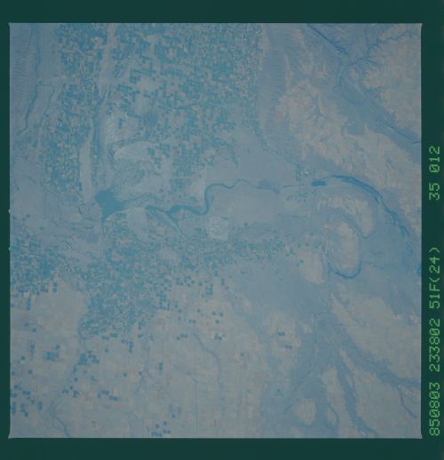
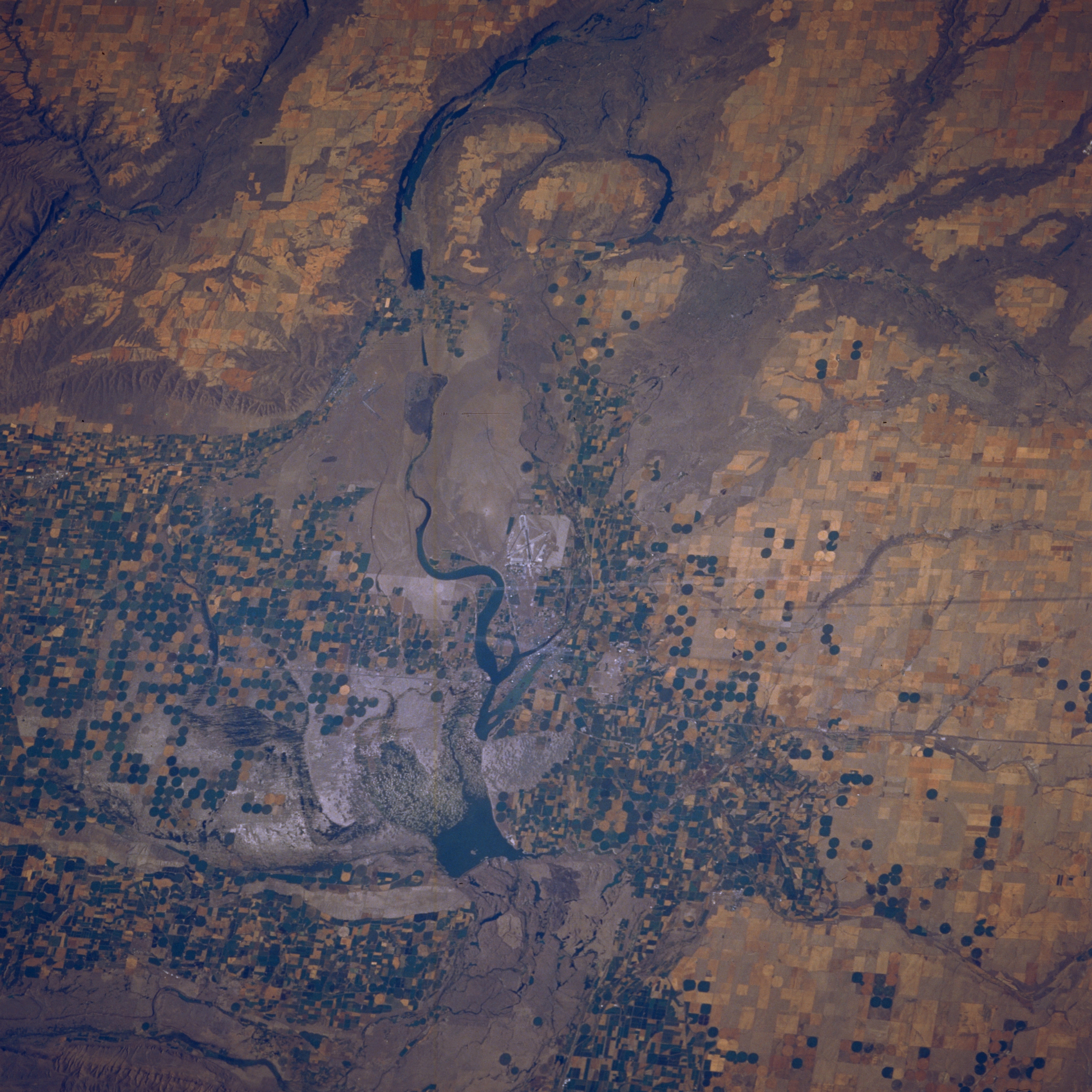
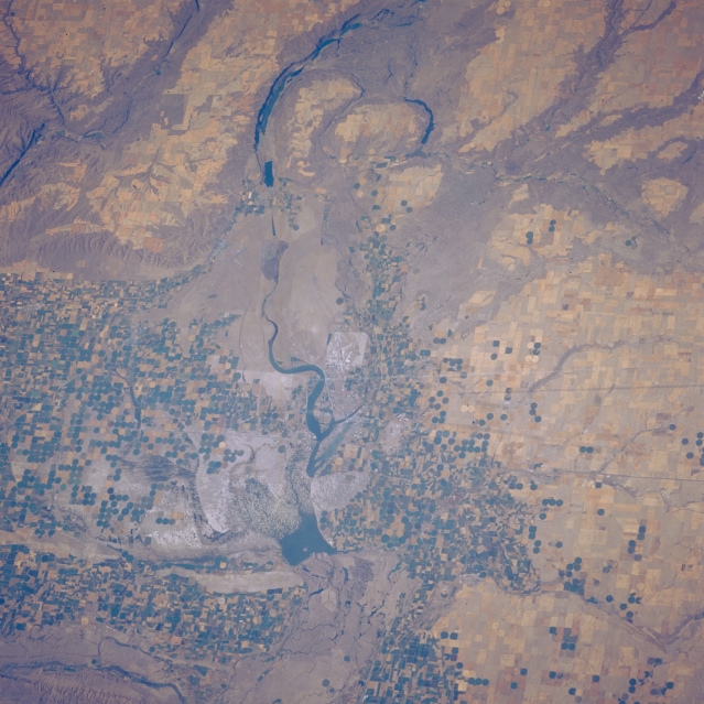
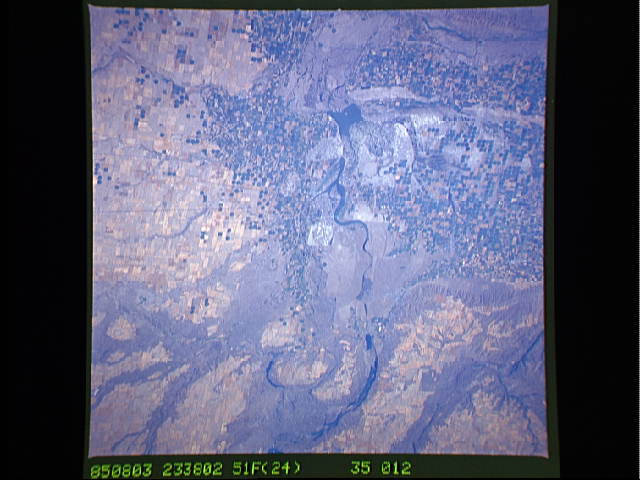
Image Caption: STS51F-035-0012 Moses Lake Area, Washington, U.S.A. August 1985
Moses Lake and Potholes Reservoir are featured in this low-oblique, north-looking photograph. Snakelike Moses Lake [16 miles (25 kilometers) long] extends northward from the small farming community of Moses Lake, visible near the center of the photograph. Potholes Reservoir (south of Moses Lake) has a low water level in this summer view; Soap Lake and larger Lake Lenore are apparent near the top center. Stretching to the west, east, and south of Moses Lake are numerous pivot-irrigation fields. Interstate Highway 90, which traverses west-east just south of the community of Moses Lake, is barely discernible.
Moses Lake and Potholes Reservoir are featured in this low-oblique, north-looking photograph. Snakelike Moses Lake [16 miles (25 kilometers) long] extends northward from the small farming community of Moses Lake, visible near the center of the photograph. Potholes Reservoir (south of Moses Lake) has a low water level in this summer view; Soap Lake and larger Lake Lenore are apparent near the top center. Stretching to the west, east, and south of Moses Lake are numerous pivot-irrigation fields. Interstate Highway 90, which traverses west-east just south of the community of Moses Lake, is barely discernible.
