STS51C-43-50
| NASA Photo ID | STS51C-43-50 |
| Focal Length | 250mm |
| Date taken | 1985.01.27 |
| Time taken | 05:40:51 GMT |
Cloud masks available for this image:
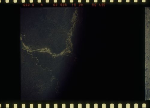
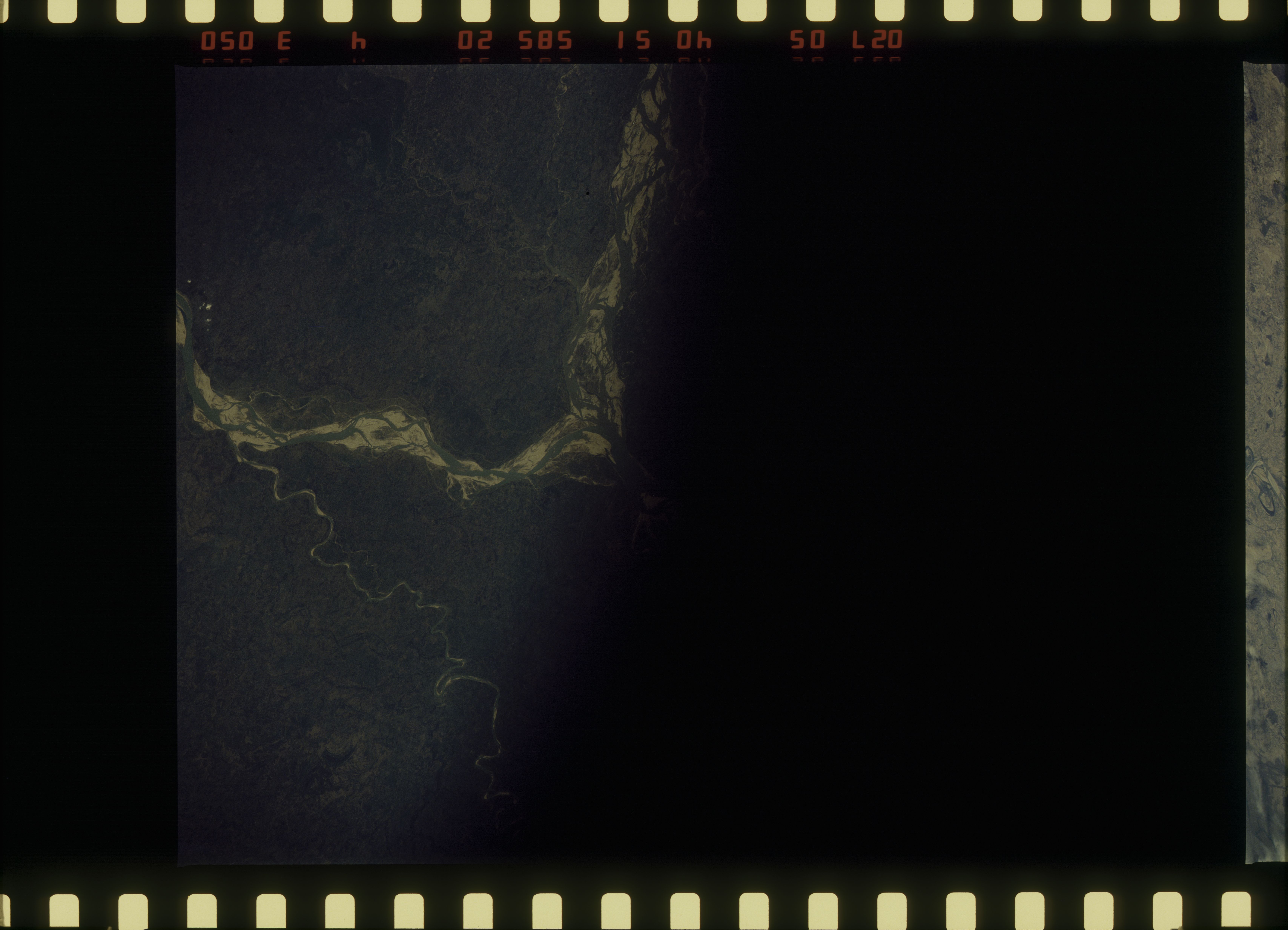
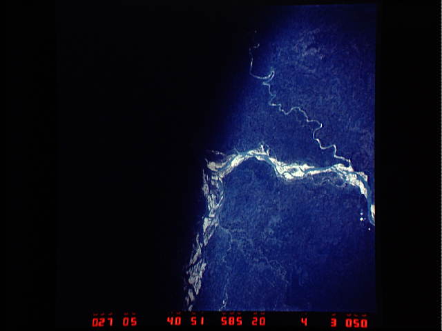
Spacecraft nadir point: 25.8° N, 86.7° E
Photo center point: 24.0° N, 90.0° E
Photo center point by machine learning:
Photo center point: 24.0° N, 90.0° E
Photo center point by machine learning:
Nadir to Photo Center: Southeast
Spacecraft Altitude: 199 nautical miles (369km)
Country or Geographic Name: | BANGLADESH |
Features: | GANGES R., BRAHMAPUTRA R. |
| Features Found Using Machine Learning: | |
Cloud Cover Percentage: | 0 (no clouds present) |
Sun Elevation Angle: | 44° |
Sun Azimuth: | 165° |
Camera: | Hasselblad |
Focal Length: | 250mm |
Camera Tilt: | 49 degrees |
Format: | 5017: Kodak, natural color positive, Ektachrome, X Professional, ASA 64, standard base |
Film Exposure: | Normal |
| Additional Information | |
| Width | Height | Annotated | Cropped | Purpose | Links |
|---|---|---|---|---|---|
| 6830 pixels | 4931 pixels | No | No | Download Image | |
| 500 pixels | 361 pixels | No | No | Download Image | |
| 640 pixels | 480 pixels | No | No | Download Image |
Download Packaged File
Download a Google Earth KML for this Image
View photo footprint information
Download a GeoTIFF for this photo
Image Caption: none
