STS51C-42-86
| NASA Photo ID | STS51C-42-86 |
| Focal Length | 100mm |
| Date taken | 1985.01.27 |
| Time taken | 04:05:10 GMT |
Cloud masks available for this image:
Spacecraft nadir point: 21.2° N, 94.0° E
Photo center point: 26.5° N, 91.5° E
Photo center point by machine learning:
Photo center point: 26.5° N, 91.5° E
Photo center point by machine learning:
Nadir to Photo Center: North
Spacecraft Altitude: 201 nautical miles (372km)
Country or Geographic Name: | INDIA |
Features: | BRAHMAPUTRA R, KH-J. HILLS |
| Features Found Using Machine Learning: | |
Cloud Cover Percentage: | 25 (11-25)% |
Sun Elevation Angle: | 41° |
Sun Azimuth: | 143° |
Camera: | Hasselblad |
Focal Length: | 100mm |
Camera Tilt: | High Oblique |
Format: | 5017: Kodak, natural color positive, Ektachrome, X Professional, ASA 64, standard base |
Film Exposure: | Normal |
| Additional Information | |
| Width | Height | Annotated | Cropped | Purpose | Links |
|---|---|---|---|---|---|
| 6830 pixels | 4937 pixels | No | No | Download Image | |
| 500 pixels | 361 pixels | No | No | Download Image | |
| 640 pixels | 480 pixels | No | No | Download Image |
Download Packaged File
Download a Google Earth KML for this Image
View photo footprint information
Download a GeoTIFF for this photo
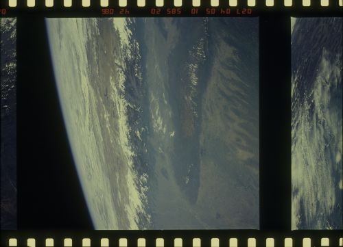
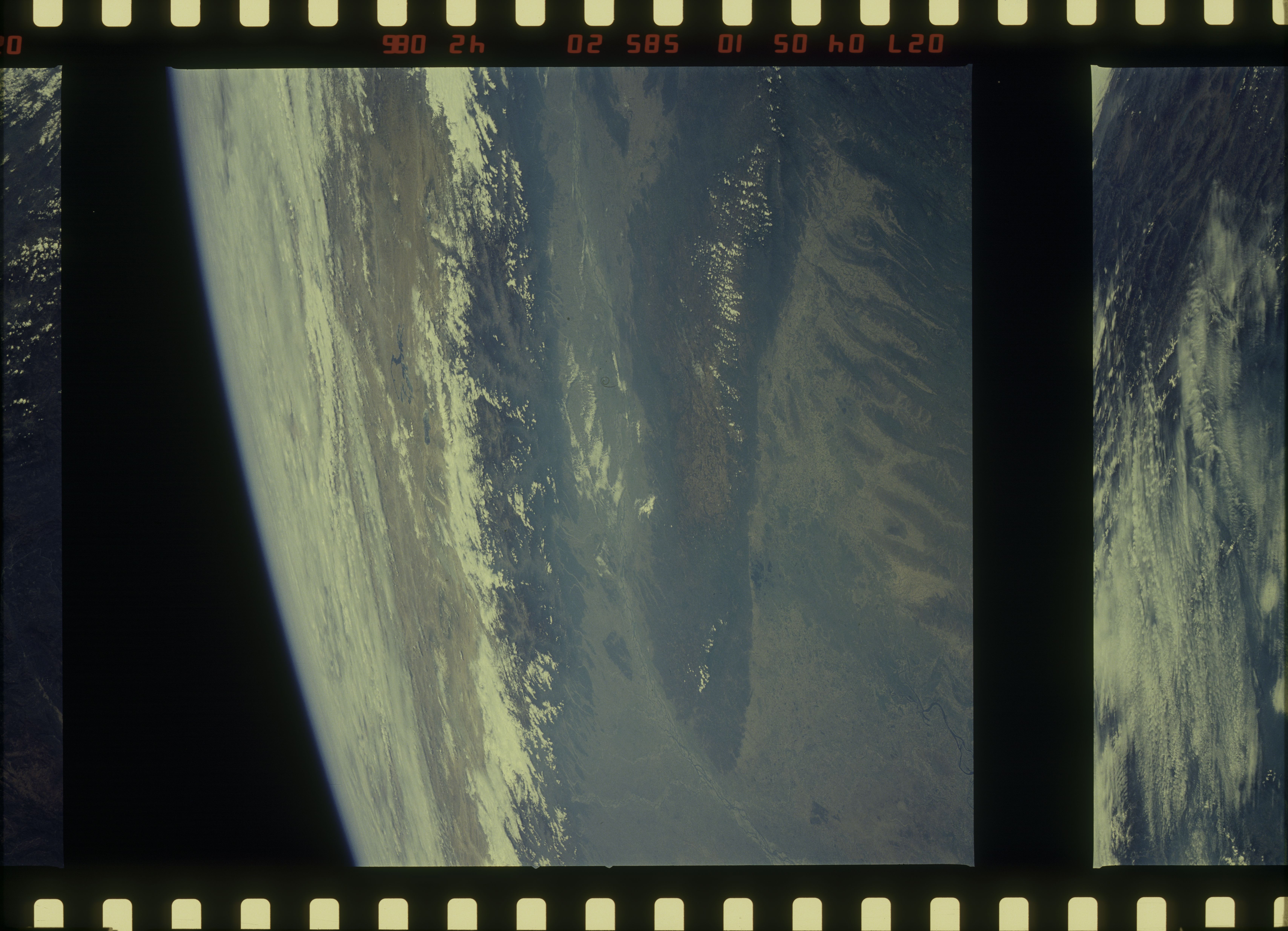
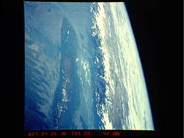
Image Caption: The Winter Monsoon
These two views show the fairly clear conditions that prevail
over northern India and Bangladesh during the winter monsoon.
The Khasi Hills (1) and Brahmaputra River (2) can be seen in both
views. The top view, looking southwest into central India, taken
about two and a half months after the end of the summer monsoon,
shows the main channels of the Brahmaputra still maintaining a
good flow of water. The bottom view, which looks northward into
Tibet, taken over four months after the end of the summer mon-
soon, shows many of the main channels of the Brahmaputra with
little or no water in their channels. Large sand or silt banks
have appeared. (S09-49-2265--a, 51C-42-086--b)
