STS51B-55-15

| NASA Photo ID | STS51B-55-15 |
| Focal Length | 250mm |
| Date taken | 1985.05.03 |
| Time taken | 15:06:25 GMT |
Cloud masks available for this image:
Spacecraft nadir point: 42.2° N, 36.4° E
Photo center point: 41.5° N, 36.0° E
Photo center point by machine learning:
Photo center point: 41.5° N, 36.0° E
Photo center point by machine learning:
Nadir to Photo Center: Southwest
Spacecraft Altitude: 196 nautical miles (363km)
Country or Geographic Name: | TURKEY |
Features: | KIZIL RIVER, POINT BAFRA |
| Features Found Using Machine Learning: | |
Cloud Cover Percentage: | 0 (no clouds present) |
Sun Elevation Angle: | 14° |
Sun Azimuth: | 277° |
Camera: | Hasselblad |
Focal Length: | 250mm |
Camera Tilt: | 14 degrees |
Format: | 5017: Kodak, natural color positive, Ektachrome, X Professional, ASA 64, standard base |
Film Exposure: | Normal |
| Additional Information | |
| Width | Height | Annotated | Cropped | Purpose | Links |
|---|---|---|---|---|---|
| 5700 pixels | 5900 pixels | No | No | Download Image | |
| 500 pixels | 518 pixels | No | No | Download Image | |
| 640 pixels | 480 pixels | No | No | Download Image |
Download Packaged File
Download a Google Earth KML for this Image
View photo footprint information
Download a GeoTIFF for this photo
Image Caption:
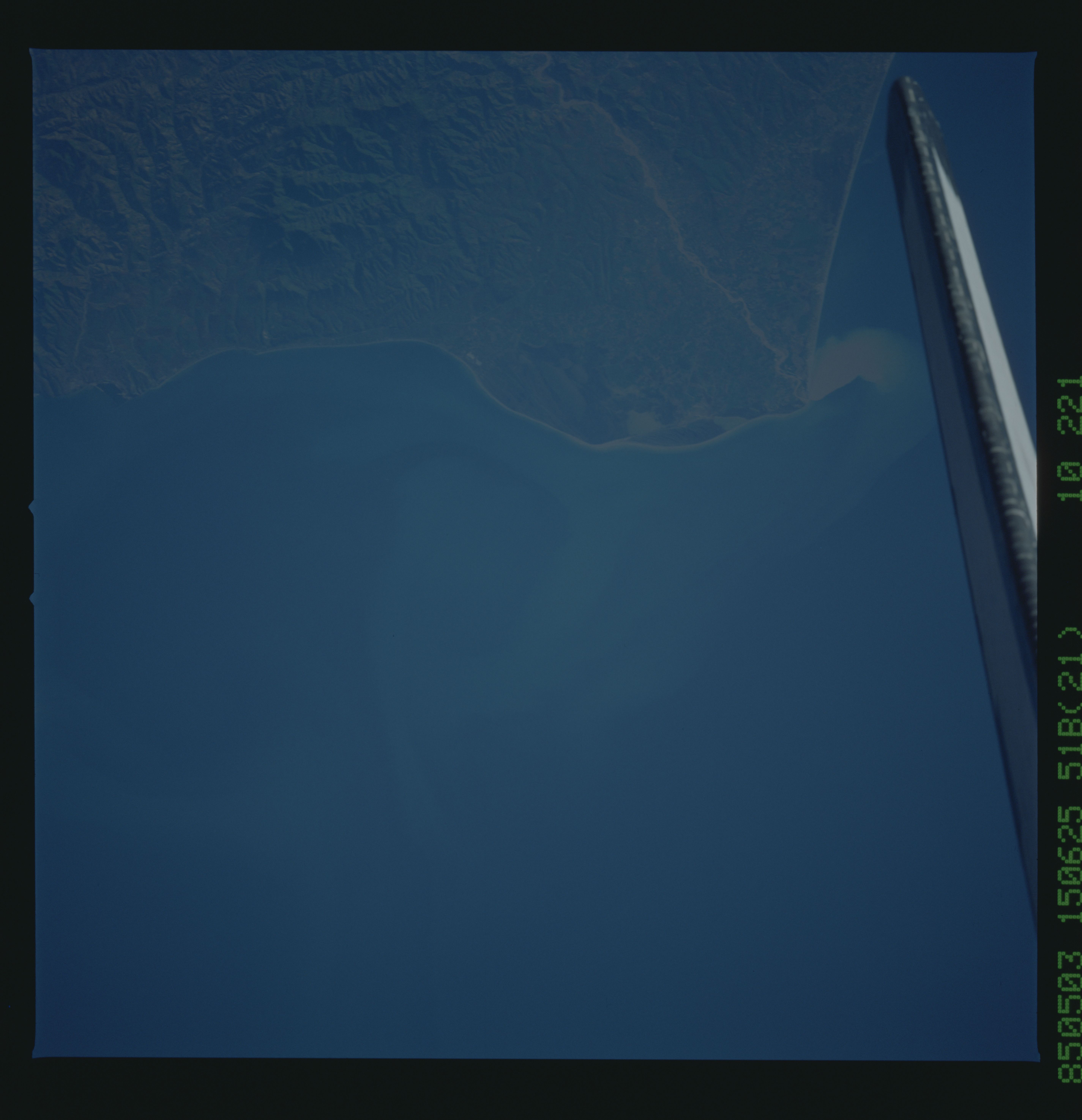
Eddy near Point Bafra, Turkey
Sediment plumes from the Kizil River delta along the north cen-
tral Turkish coast, form an eddy pattern as the plume drifts
eastward in this near-vertical view. Increased sediment flowing
into the Black Sea is of concern to scientists. Views of sedi-
ment plumes and eddies will allow scientists to better understand
the sea circulation dynamics of this region. (STS51B-55-015)
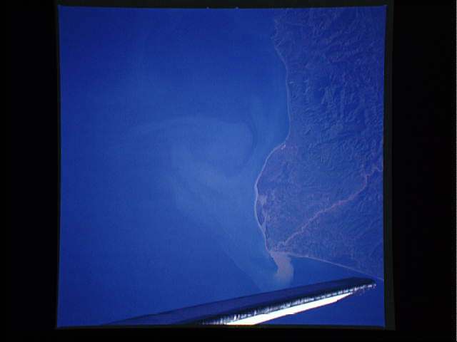
