STS51B-53-19

| NASA Photo ID | STS51B-53-19 |
| Focal Length | 250mm |
| Date taken | 1985.__.__ |
| Time taken | GMT |
Resolutions offered for this image:
3864 x 3904 pixels 633 x 639 pixels 5700 x 5900 pixels 500 x 518 pixels
3864 x 3904 pixels 633 x 639 pixels 5700 x 5900 pixels 500 x 518 pixels

Cloud masks available for this image:
Spacecraft nadir point:
Photo center point: 34.5° N, 85.0° W
Photo center point by machine learning:
Photo center point: 34.5° N, 85.0° W
Photo center point by machine learning:
Nadir to Photo Center:
Spacecraft Altitude: nautical miles (0km)
Country or Geographic Name: | USA-GEORGIA |
Features: | DALTON, CHATTANOOGA |
| Features Found Using Machine Learning: | |
Cloud Cover Percentage: | 10 (1-10)% |
Sun Elevation Angle: | ° |
Sun Azimuth: | ° |
Camera: | Hasselblad |
Focal Length: | 250mm |
Camera Tilt: | Near Vertical |
Format: | 5017: Kodak, natural color positive, Ektachrome, X Professional, ASA 64, standard base |
Film Exposure: | Normal |
| Additional Information | |
| Width | Height | Annotated | Cropped | Purpose | Links |
|---|---|---|---|---|---|
| 3864 pixels | 3904 pixels | No | No | Earth From Space collection | Download Image |
| 633 pixels | 639 pixels | No | No | Earth From Space collection | Download Image |
| 5700 pixels | 5900 pixels | No | No | Download Image | |
| 500 pixels | 518 pixels | No | No | Download Image |
Download Packaged File
Download a Google Earth KML for this Image
View photo footprint information
Download a GeoTIFF for this photo
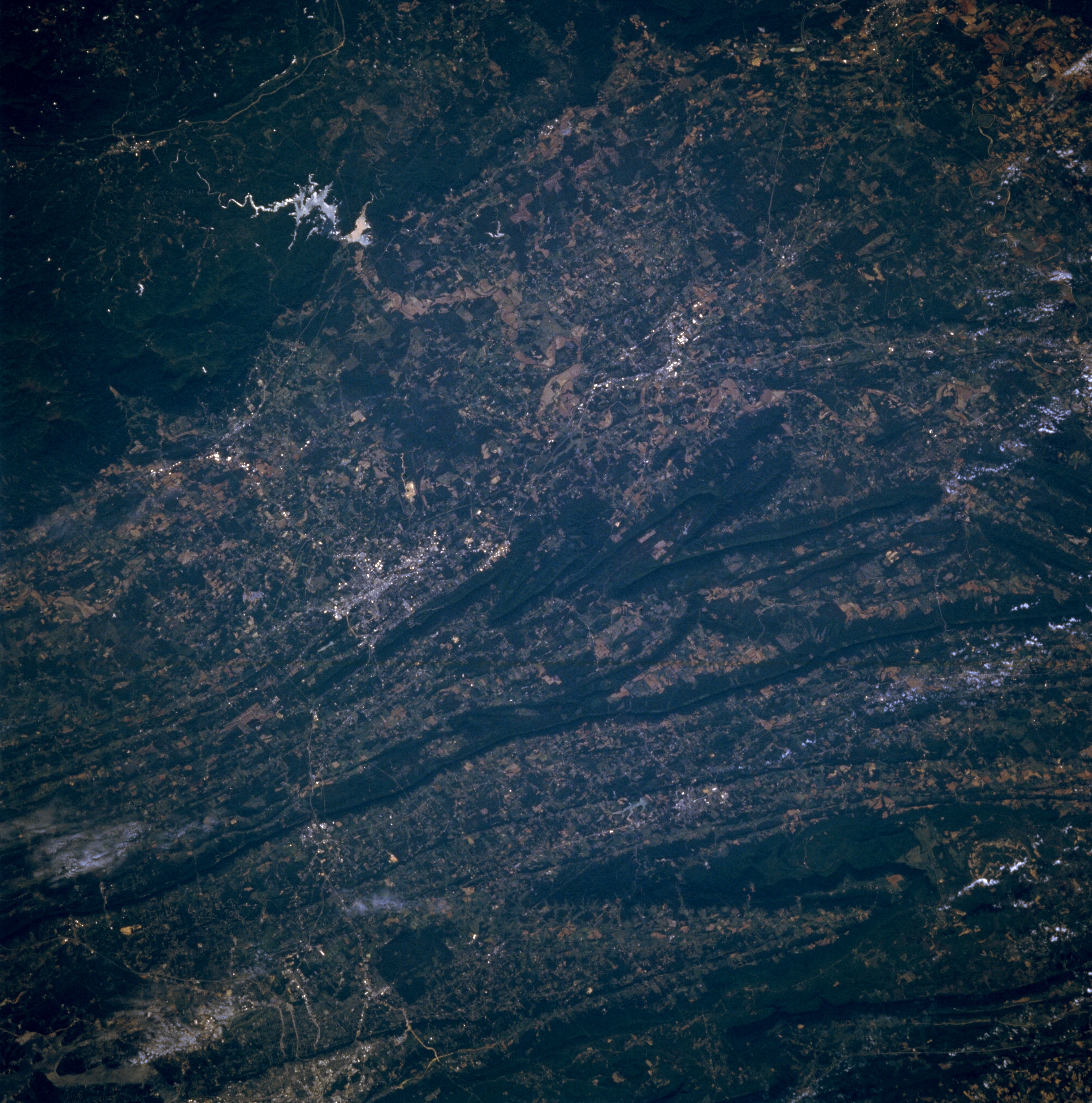
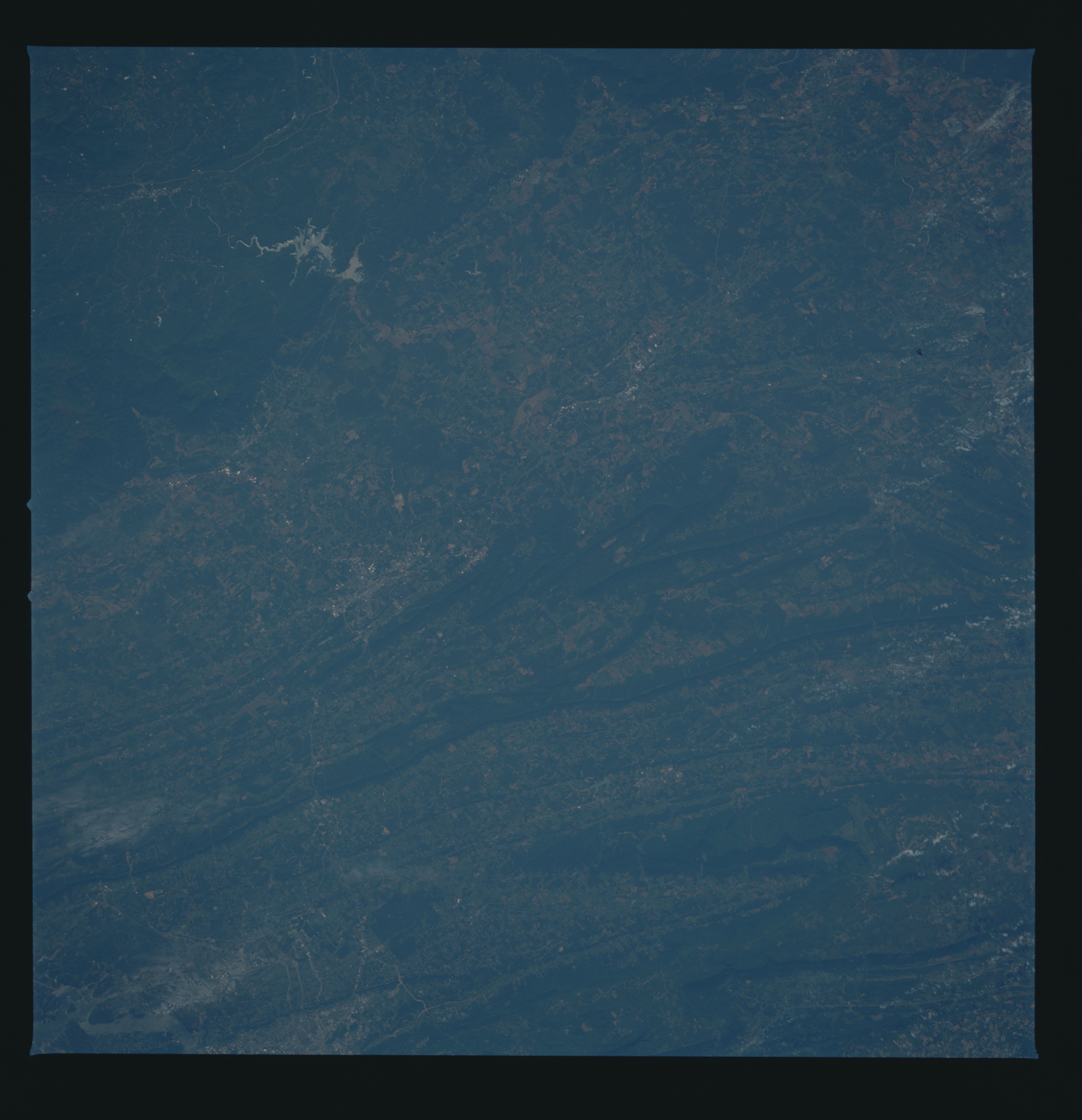
Image Caption: STS51B-53-0019 Dalton Area, Georgia, U.S.A. May 1985
Apparent in this southeast-looking photograph is sunglint on light, irregular-shaped Carters Lake within the heavily forested Chattahochee National Forest of northwest Georgia. Also visible are numerous dark, forested, paralleling ridgelines and intervening valleys oriented in a northeast-southwest direction. Discernible are highly reflective Dalton and Calhoun (near center of the photograph) and extending southeast from Chattanooga, Tennessee, narrow, linear highways (bottom left side), including Interstate Highway 75.
Apparent in this southeast-looking photograph is sunglint on light, irregular-shaped Carters Lake within the heavily forested Chattahochee National Forest of northwest Georgia. Also visible are numerous dark, forested, paralleling ridgelines and intervening valleys oriented in a northeast-southwest direction. Discernible are highly reflective Dalton and Calhoun (near center of the photograph) and extending southeast from Chattanooga, Tennessee, narrow, linear highways (bottom left side), including Interstate Highway 75.
