STS51B-51-35

| NASA Photo ID | STS51B-51-35 |
| Focal Length | 250mm |
| Date taken | 1985.05.01 |
| Time taken | 07:46:36 GMT |
Cloud masks available for this image:
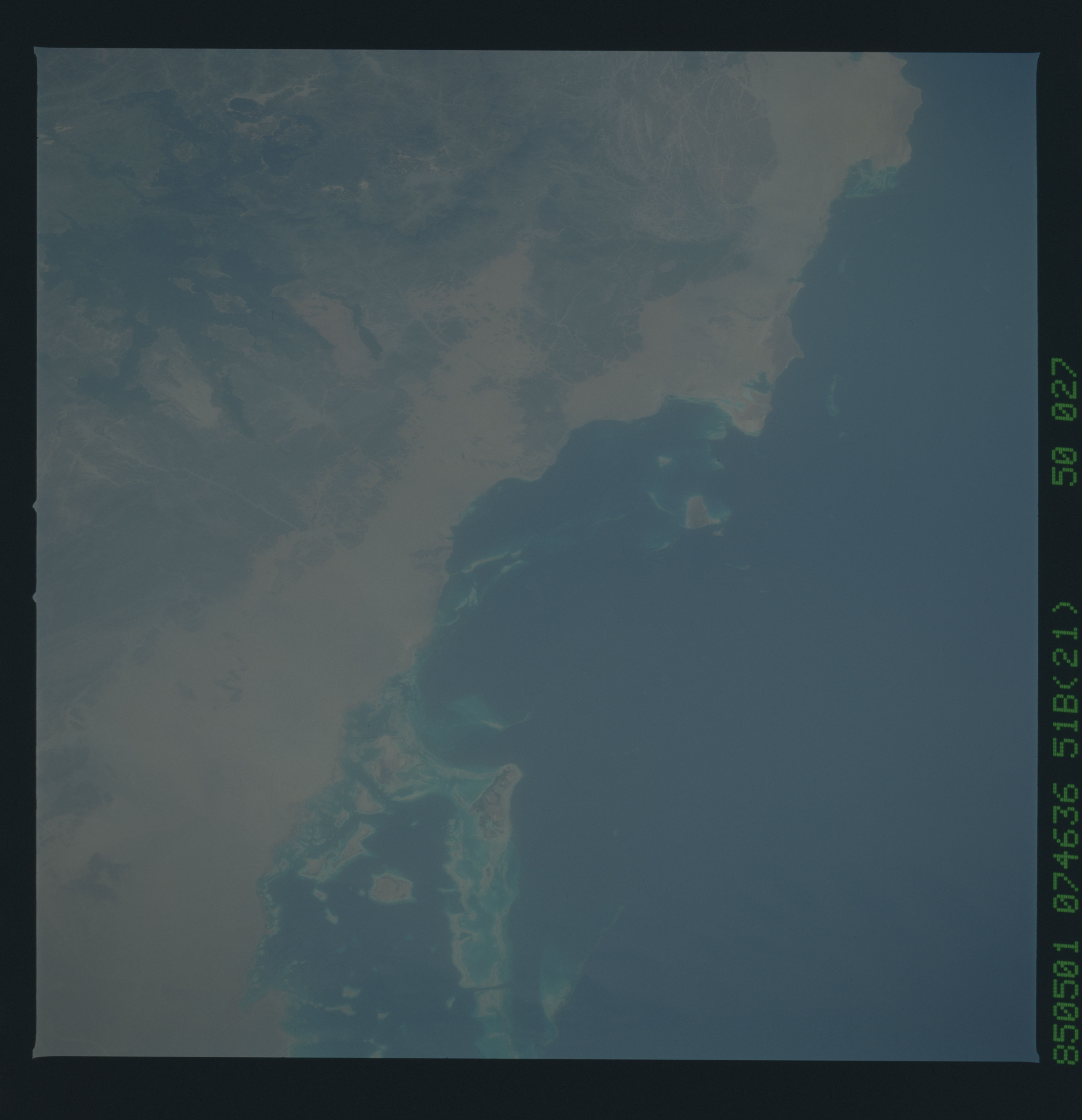
Spacecraft nadir point: 27.3° N, 34.5° E
Photo center point: 25.0° N, 37.0° E
Photo center point by machine learning:
Photo center point: 25.0° N, 37.0° E
Photo center point by machine learning:
Nadir to Photo Center: Southeast
Spacecraft Altitude: 191 nautical miles (354km)
Country or Geographic Name: | SAUDI ARABIA |
Features: | RED SEA |
| Features Found Using Machine Learning: | |
Cloud Cover Percentage: | 0 (no clouds present) |
Sun Elevation Angle: | 61° |
Sun Azimuth: | 109° |
Camera: | Hasselblad |
Focal Length: | 250mm |
Camera Tilt: | 47 degrees |
Format: | 5017: Kodak, natural color positive, Ektachrome, X Professional, ASA 64, standard base |
Film Exposure: | Normal |
| Additional Information | |
| Width | Height | Annotated | Cropped | Purpose | Links |
|---|---|---|---|---|---|
| 5700 pixels | 5900 pixels | No | No | Download Image | |
| 500 pixels | 518 pixels | No | No | Download Image |
Download Packaged File
Download a Google Earth KML for this Image
View photo footprint information
Download a GeoTIFF for this photo
Image Caption: none
