STS51B-39-73
| NASA Photo ID | STS51B-39-73 |
| Focal Length | 100mm |
| Date taken | 1985.05.03 |
| Time taken | 23:44:05 GMT |
Cloud masks available for this image:
Spacecraft nadir point: 1.9° N, 122.3° E
Photo center point: 1.0° N, 123.5° E
Photo center point by machine learning:
Photo center point: 1.0° N, 123.5° E
Photo center point by machine learning:
Nadir to Photo Center: Southeast
Spacecraft Altitude: 189 nautical miles (350km)
Country or Geographic Name: | INDONESIA |
Features: | CELEBES |
| Features Found Using Machine Learning: | |
Cloud Cover Percentage: | 60 (51-75)% |
Sun Elevation Angle: | 28° |
Sun Azimuth: | 72° |
Camera: | Hasselblad |
Focal Length: | 100mm |
Camera Tilt: | 25 degrees |
Format: | 5017: Kodak, natural color positive, Ektachrome, X Professional, ASA 64, standard base |
Film Exposure: | Normal |
| Additional Information | |
| Width | Height | Annotated | Cropped | Purpose | Links |
|---|---|---|---|---|---|
| 5700 pixels | 5900 pixels | No | No | Download Image | |
| 500 pixels | 518 pixels | No | No | Download Image |
Download Packaged File
Download a Google Earth KML for this Image
View photo footprint information
Download a GeoTIFF for this photo
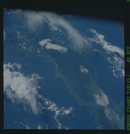
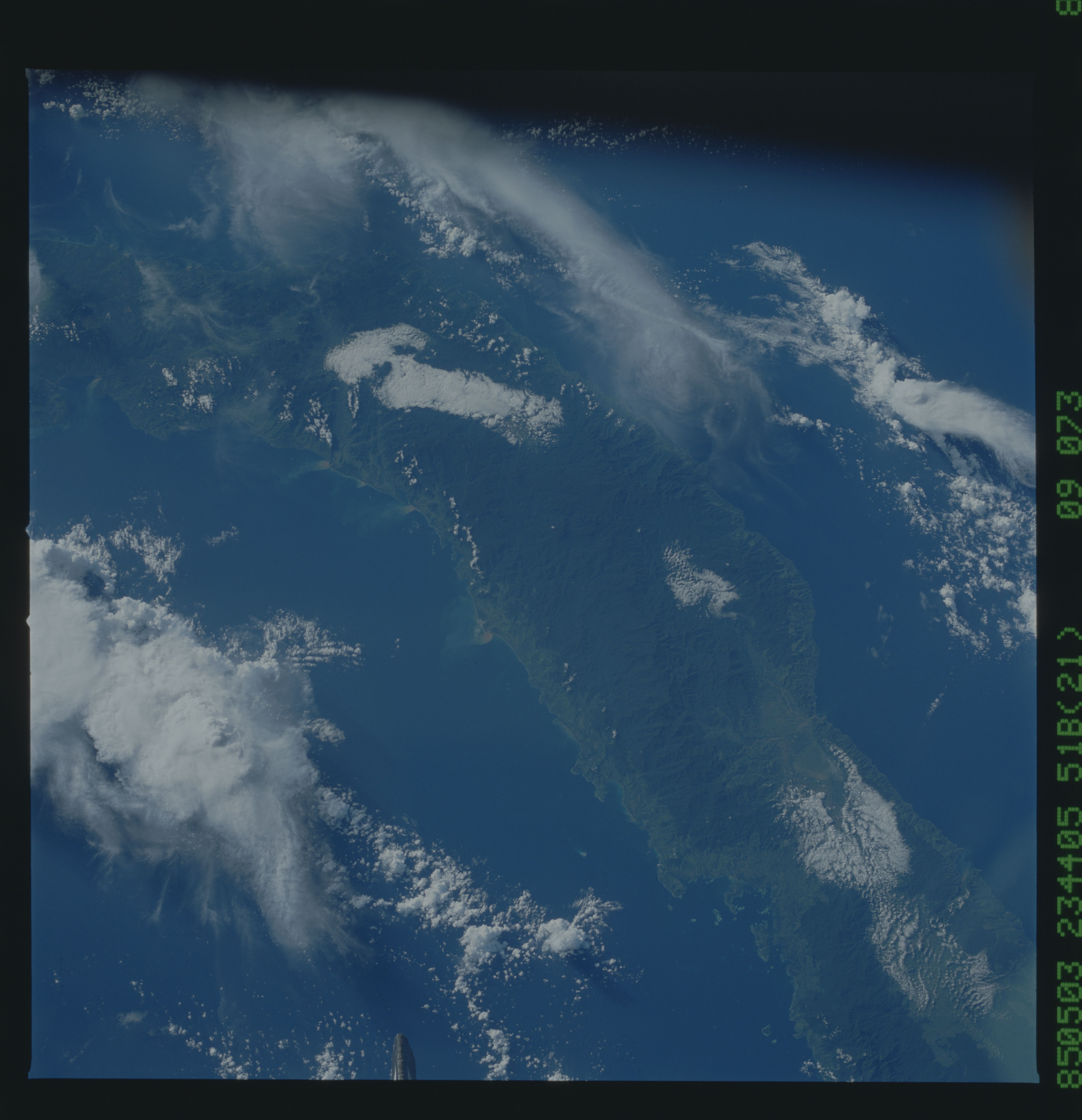
Image Caption: The only active volcanoes on Sulawesi, part of the Sangihe arc,
occur at the northern tip of the north arm. The southern-most
volcano can be seen at (1). The north Sulawesi deep sea trench
occurs offshore, just north of the north arm. The north arm is
relatively mountainous and undeveloped, but the coastlines have
been cleared (2), and all lowlands are settled. The town of
Gorontolo is at (3) near Linbato Lake, in a fault-bounded valley.
(51B-39-73)
