STS51B-38-96
| NASA Photo ID | STS51B-38-96 |
| Focal Length | 250mm |
| Date taken | 1985.__.__ |
| Time taken | GMT |
Resolutions offered for this image:
3864 x 3904 pixels 633 x 639 pixels 5700 x 5900 pixels 500 x 518 pixels
3864 x 3904 pixels 633 x 639 pixels 5700 x 5900 pixels 500 x 518 pixels
Cloud masks available for this image:
Spacecraft nadir point:
Photo center point: 46.0° N, 119.0° W
Photo center point by machine learning:
Photo center point: 46.0° N, 119.0° W
Photo center point by machine learning:
Nadir to Photo Center:
Spacecraft Altitude: nautical miles (0km)
Country or Geographic Name: | USA-WASHINGTON |
Features: | COLUMBIA RIVER |
| Features Found Using Machine Learning: | |
Cloud Cover Percentage: | 0 (no clouds present) |
Sun Elevation Angle: | ° |
Sun Azimuth: | ° |
Camera: | Hasselblad |
Focal Length: | 250mm |
Camera Tilt: | Near Vertical |
Format: | 5017: Kodak, natural color positive, Ektachrome, X Professional, ASA 64, standard base |
Film Exposure: | Normal |
| Additional Information | |
| Width | Height | Annotated | Cropped | Purpose | Links |
|---|---|---|---|---|---|
| 3864 pixels | 3904 pixels | No | No | Earth From Space collection | Download Image |
| 633 pixels | 639 pixels | No | No | Earth From Space collection | Download Image |
| 5700 pixels | 5900 pixels | No | No | Download Image | |
| 500 pixels | 518 pixels | No | No | Download Image |
Download Packaged File
Download a Google Earth KML for this Image
View photo footprint information
Download a GeoTIFF for this photo
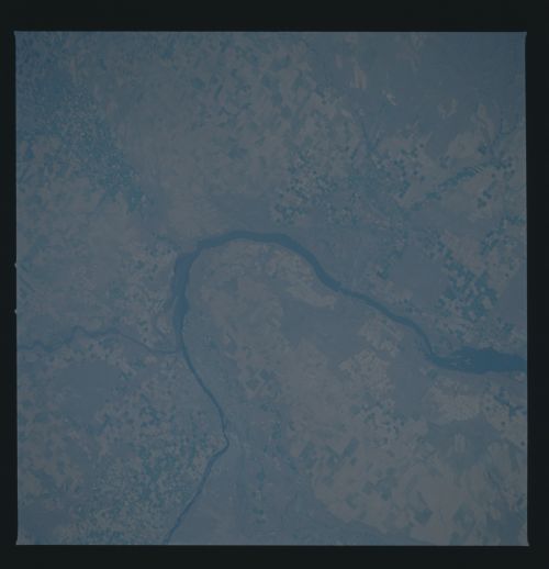
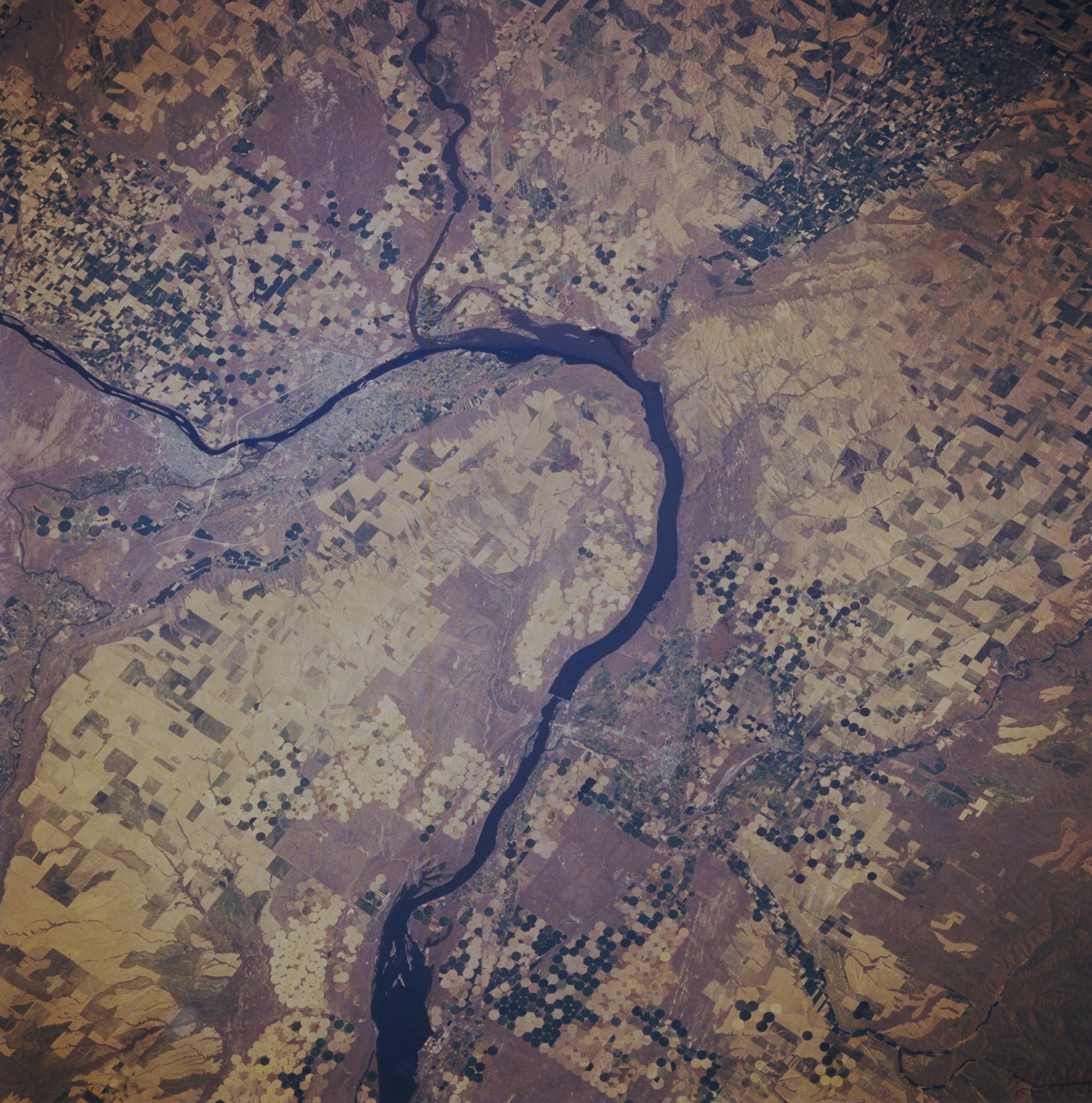
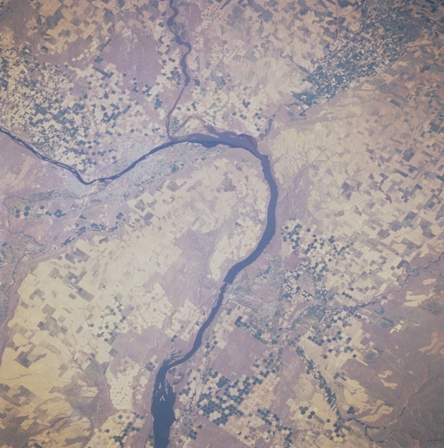
Image Caption: STS51B-038-0096 Columbia River, Richland, Kennewick, and Pasco; Washington; U.S.A. May 1985
This northeast-looking, low-oblique photograph shows the tricity area of Richland, Kennewick, and Pasco and the influx of the Snake River into the Columbia River. The economy of the tricity area is based on the U.S. Atomic Energy Commission Reserve, which has its headquarters in Richland. The area also benefits from surrounding farms and ranches. Numerous agricultural field patterns, including pivot-irrigation plots and densely sown agricultural fields, are visible in the Walla Walla River Valley near the upper right of the photograph. The McNary Dam is discernible on the Columbia River just below the center of the photograph.
This northeast-looking, low-oblique photograph shows the tricity area of Richland, Kennewick, and Pasco and the influx of the Snake River into the Columbia River. The economy of the tricity area is based on the U.S. Atomic Energy Commission Reserve, which has its headquarters in Richland. The area also benefits from surrounding farms and ranches. Numerous agricultural field patterns, including pivot-irrigation plots and densely sown agricultural fields, are visible in the Walla Walla River Valley near the upper right of the photograph. The McNary Dam is discernible on the Columbia River just below the center of the photograph.
