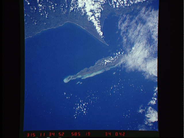
STS51A-34-42
| NASA Photo ID | STS51A-34-42 |
| Focal Length | 250mm |
| Date taken | 1984.11.10 |
| Time taken | 11:34:52 GMT |
Resolutions offered for this image:
5700 x 5900 pixels 483 x 500 pixels 640 x 480 pixels 2129 x 1948 pixels 2519 x 2553 pixels
5700 x 5900 pixels 483 x 500 pixels 640 x 480 pixels 2129 x 1948 pixels 2519 x 2553 pixels


Cloud masks available for this image:
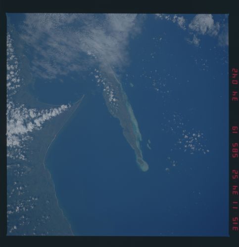
Spacecraft nadir point: 17.7° S, 49.2° E
Photo center point: 17.0° S, 50.0° E
Photo center point by machine learning:
Photo center point: 17.0° S, 50.0° E
Photo center point by machine learning:
Nadir to Photo Center: Northeast
Spacecraft Altitude: 170 nautical miles (315km)
Country or Geographic Name: | MADAGASCAR |
Features: | ILE SAINTE-MARIE |
| Features Found Using Machine Learning: | |
Cloud Cover Percentage: | 20 (11-25)% |
Sun Elevation Angle: | 45° |
Sun Azimuth: | 263° |
Camera: | Hasselblad |
Focal Length: | 250mm |
Camera Tilt: | 21 degrees |
Format: | 6017: Kodak Ektachrome 64, 220 Roll Format |
Film Exposure: | Normal |
| Additional Information | |
| Width | Height | Annotated | Cropped | Purpose | Links |
|---|---|---|---|---|---|
| 5700 pixels | 5900 pixels | No | No | Download Image | |
| 483 pixels | 500 pixels | No | No | Download Image | |
| 640 pixels | 480 pixels | No | No | Download Image | |
| 2129 pixels | 1948 pixels | No | Yes | ReefBase 1 | Download Image |
| 2519 pixels | 2553 pixels | No | No | ReefBase 1 | Download Image |
Download Packaged File
Download a Google Earth KML for this Image
View photo footprint information
Download a GeoTIFF for this photo
Image Caption: none
