STS41G-36-100
| NASA Photo ID | STS41G-36-100 |
| Focal Length | 250mm |
| Date taken | 1984.10.06 |
| Time taken | 21:05:20 GMT |
Cloud masks available for this image:
Spacecraft nadir point: 38.0° N, 108.5° W
Photo center point: 38.0° N, 110.0° W
Photo center point by machine learning:
Photo center point: 38.0° N, 110.0° W
Photo center point by machine learning:
Nadir to Photo Center: West
Spacecraft Altitude: 142 nautical miles (263km)
Country or Geographic Name: | USA-UTAH |
Features: | GREEN R, COLO R JUNCTION |
| Features Found Using Machine Learning: | |
Cloud Cover Percentage: | 2 (1-10)% |
Sun Elevation Angle: | 38° |
Sun Azimuth: | 136° |
Camera: | Hasselblad |
Focal Length: | 250mm |
Camera Tilt: | Near Vertical |
Format: | 6017: Kodak Ektachrome 64, 220 Roll Format |
Film Exposure: | Normal |
| Additional Information | |
| Width | Height | Annotated | Cropped | Purpose | Links |
|---|---|---|---|---|---|
| 5700 pixels | 5900 pixels | No | No | Download Image | |
| 500 pixels | 518 pixels | No | No | Download Image | |
| 640 pixels | 480 pixels | No | No | Download Image |
Download Packaged File
Download a Google Earth KML for this Image
View photo footprint information
Download a GeoTIFF for this photo
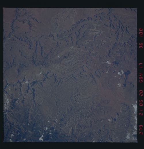
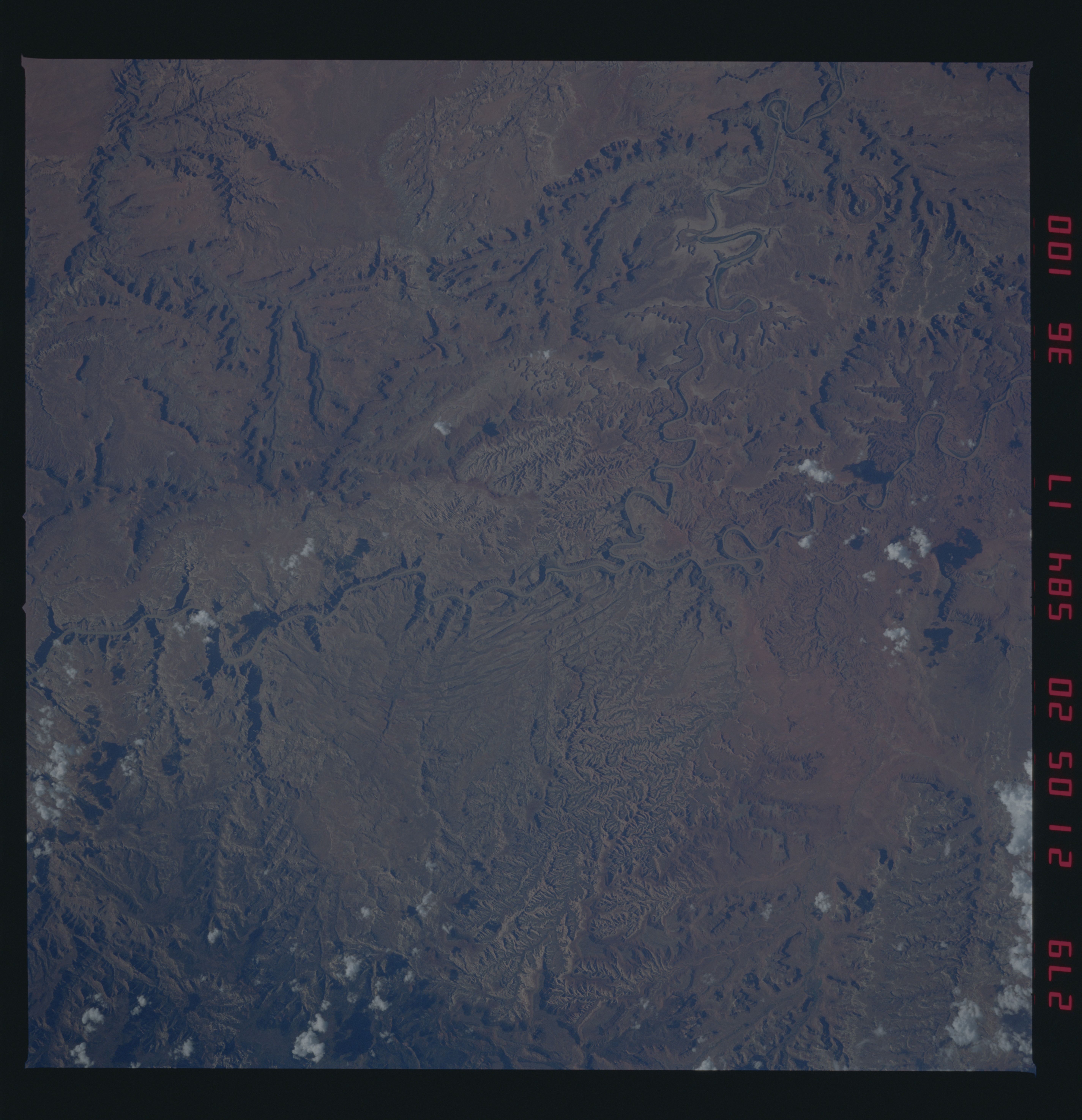
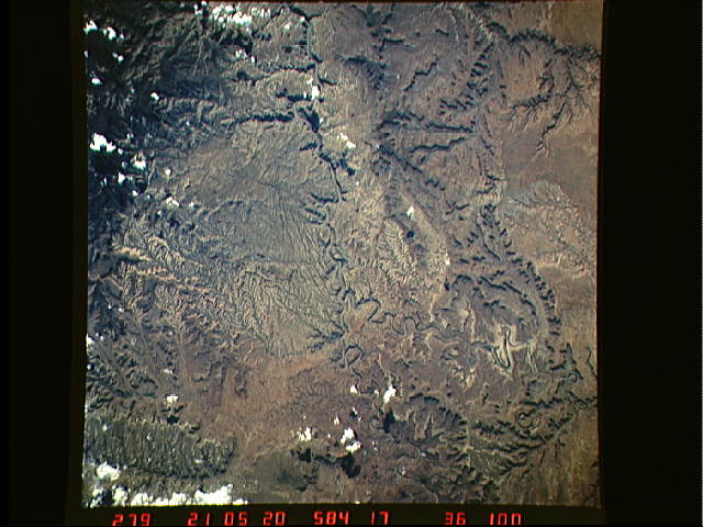
Image Caption: STS41G-36-100 Entrenched meanders of the Green and Colorado Rivers in
Canyonlands National Park, Utah. North is to the bottom. Note the
younger, branching drainages now cutting the rocks. The photograph was
taken on 7 October 1984 from an altitude of 142 n.mi. (263 km) using a
Hasselblad camera equipped with a 250 mm lens and color visiblefilm.
Canyonlands National Park, Utah. North is to the bottom. Note the
younger, branching drainages now cutting the rocks. The photograph was
taken on 7 October 1984 from an altitude of 142 n.mi. (263 km) using a
Hasselblad camera equipped with a 250 mm lens and color visiblefilm.
