STS41D-44-64
| NASA Photo ID | STS41D-44-64 |
| Focal Length | 250mm |
| Date taken | 1984.09.04 |
| Time taken | 16:44:38 GMT |
Cloud masks available for this image:
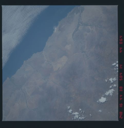
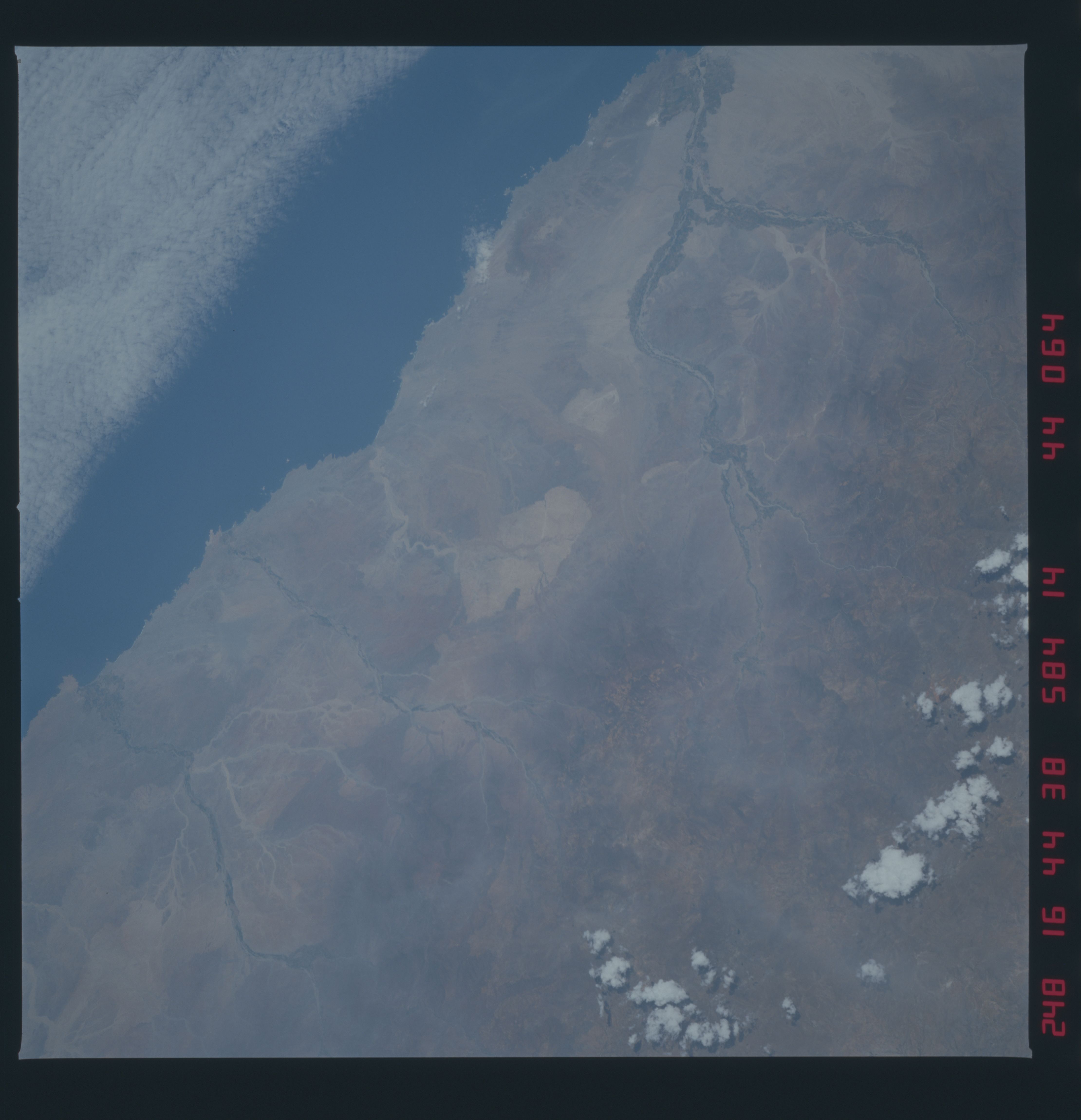
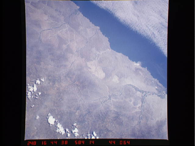
Spacecraft nadir point: 8.5° S, 76.3° W
Photo center point: 10.0° S, 78.0° W
Photo center point by machine learning:
Photo center point: 10.0° S, 78.0° W
Photo center point by machine learning:
Nadir to Photo Center: Southwest
Spacecraft Altitude: 159 nautical miles (294km)
Country or Geographic Name: | PERU |
Features: | RIO CASMA |
| Features Found Using Machine Learning: | |
Cloud Cover Percentage: | 30 (26-50)% |
Sun Elevation Angle: | 73° |
Sun Azimuth: | 117° |
Camera: | Hasselblad |
Focal Length: | 250mm |
Camera Tilt: | 41 degrees |
Format: | 6017: Kodak Ektachrome 64, 220 Roll Format |
Film Exposure: | Normal |
| Additional Information | |
| Width | Height | Annotated | Cropped | Purpose | Links |
|---|---|---|---|---|---|
| 4440 pixels | 4600 pixels | No | No | Download Image | |
| 483 pixels | 500 pixels | No | No | Download Image | |
| 640 pixels | 480 pixels | No | No | Download Image |
Download Packaged File
Download a Google Earth KML for this Image
View photo footprint information
Download a GeoTIFF for this photo
Image Caption: none
