STS41D-44-30
| NASA Photo ID | STS41D-44-30 |
| Focal Length | 250mm |
| Date taken | 1984.09.04 |
| Time taken | 13:59:05 GMT |
Resolutions offered for this image:
5199 x 5199 pixels 639 x 639 pixels 4440 x 4600 pixels 483 x 500 pixels 640 x 480 pixels
5199 x 5199 pixels 639 x 639 pixels 4440 x 4600 pixels 483 x 500 pixels 640 x 480 pixels

Cloud masks available for this image:
Spacecraft nadir point: 27.8° S, 25.9° E
Photo center point: 27.5° S, 24.5° E
Photo center point by machine learning:
Photo center point: 27.5° S, 24.5° E
Photo center point by machine learning:
Nadir to Photo Center: West
Spacecraft Altitude: 161 nautical miles (298km)
Country or Geographic Name: | REPUBLIC SOUTH AFRICA |
Features: | HARTSWATER IRRIGATION |
| Features Found Using Machine Learning: | |
Cloud Cover Percentage: | 0 (no clouds present) |
Sun Elevation Angle: | 25° |
Sun Azimuth: | 96° |
Camera: | Hasselblad |
Focal Length: | 250mm |
Camera Tilt: | 28 degrees |
Format: | 6017: Kodak Ektachrome 64, 220 Roll Format |
Film Exposure: | Normal |
| Additional Information | |
| Width | Height | Annotated | Cropped | Purpose | Links |
|---|---|---|---|---|---|
| 5199 pixels | 5199 pixels | No | No | Earth From Space collection | Download Image |
| 639 pixels | 639 pixels | No | No | Earth From Space collection | Download Image |
| 4440 pixels | 4600 pixels | No | No | Download Image | |
| 483 pixels | 500 pixels | No | No | Download Image | |
| 640 pixels | 480 pixels | No | No | Download Image |
Download Packaged File
Download a Google Earth KML for this Image
View photo footprint information
Download a GeoTIFF for this photo
Image Caption: STS41D-044-0030 Irrigated Agriculture, South Africa September 1984
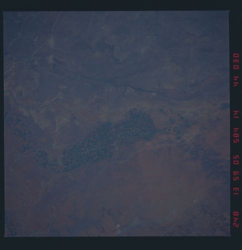
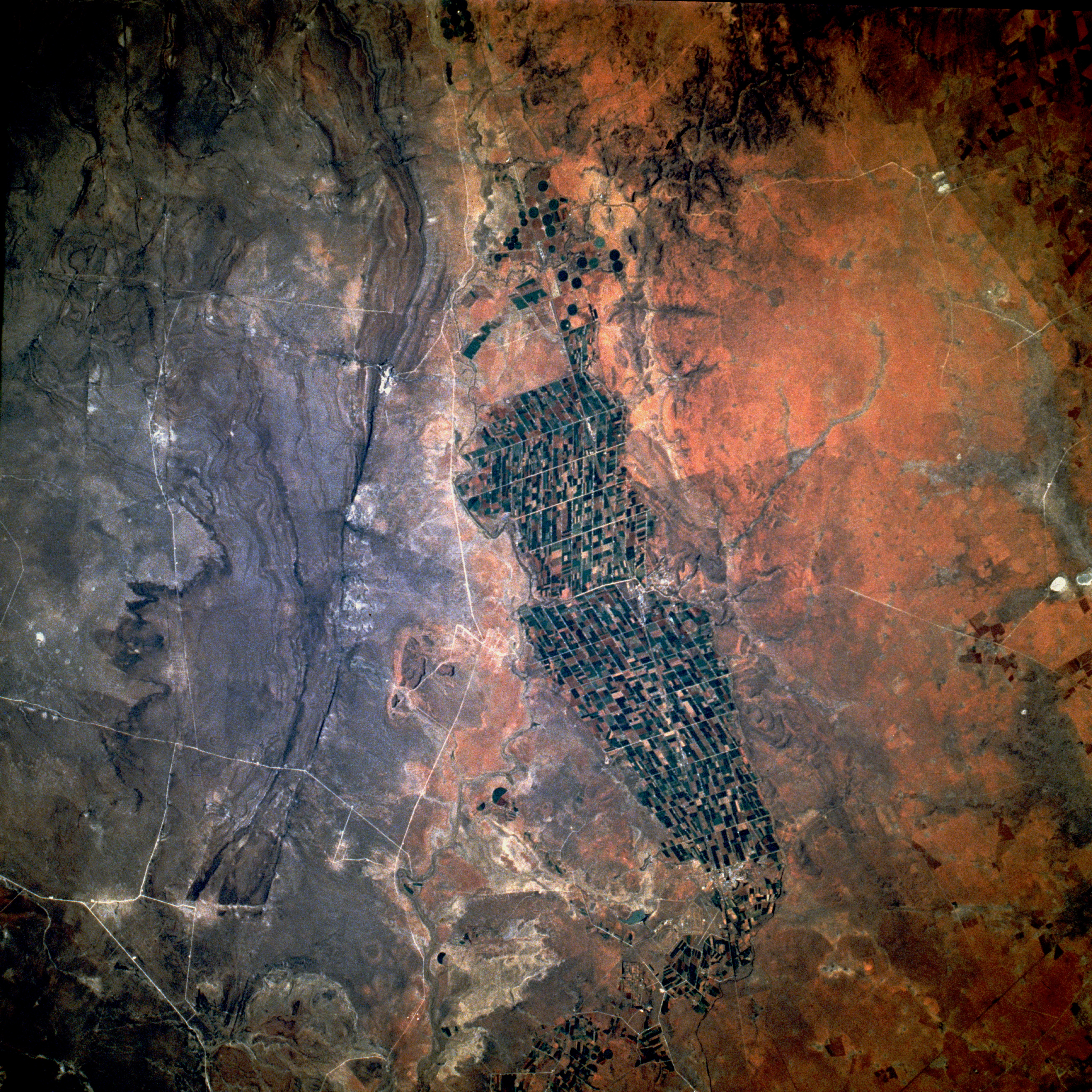
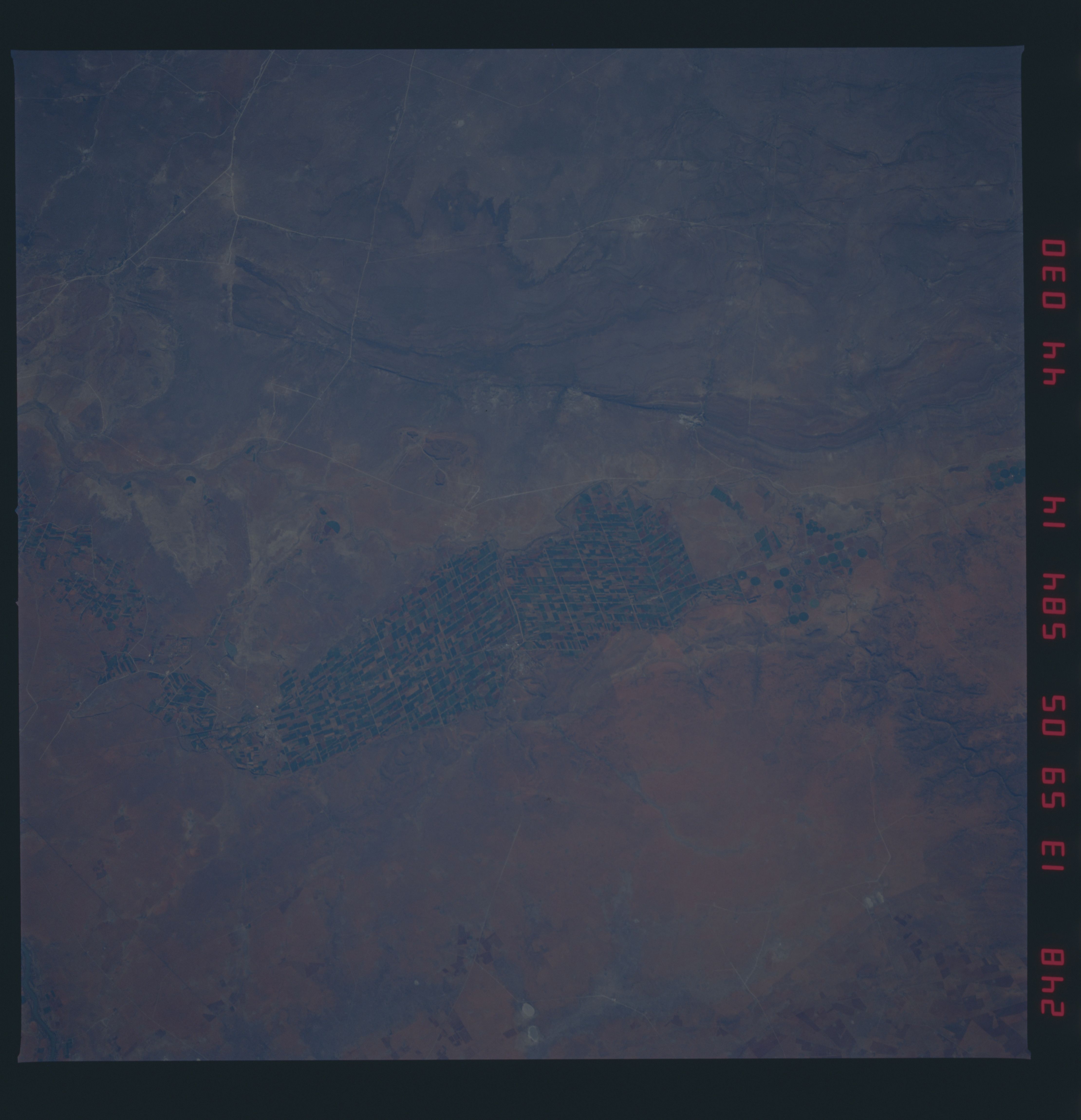
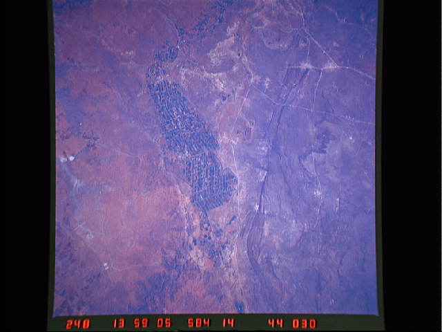
Irrigated agricultural field patterns stand out dramatically against the browns and grays of the semiarid environment in central South Africa. The regimented, systematic cropland fields are outlined by numerous irrigation ditches in this small river valley, which is on a tributary of the Vaal River. This agricultural valley, located about 65 miles (105 kilometers) due north of the city of Kimberley, is approximately 20 miles (32 kilometers) in length north-south and averages about 7 miles (10 kilometers) in width. The circular field patterns north of the main irrigated area indicate center-pivot irrigation technology is also being used to grow crops. The general terrain around this intensively cultivated valley consists of steep-sided river banks, hills, and low escarpments. A major north-south highway, as well as a railroad line, traverse the irrigated farmland. The city of Hartswater sits on the eastern edge of the irrigated fields, approximately midway between the north-south limits of the field patterns.
Irrigated agricultural field patterns stand out dramatically against the browns and grays of the semiarid environment in central South Africa. The regimented, systematic cropland fields are outlined by numerous irrigation ditches in this small river valley, which is on a tributary of the Vaal River. This agricultural valley, located about 65 miles (105 kilometers) due north of the city of Kimberley, is approximately 20 miles (32 kilometers) in length north-south and averages about 7 miles (10 kilometers) in width. The circular field patterns north of the main irrigated area indicate center-pivot irrigation technology is also being used to grow crops. The general terrain around this intensively cultivated valley consists of steep-sided river banks, hills, and low escarpments. A major north-south highway, as well as a railroad line, traverse the irrigated farmland. The city of Hartswater sits on the eastern edge of the irrigated fields, approximately midway between the north-south limits of the field patterns.
