STS41D-42-23
| NASA Photo ID | STS41D-42-23 |
| Focal Length | 250mm |
| Date taken | 1984.09.05 |
| Time taken | 06:27:44 GMT |
Resolutions offered for this image:
3931 x 3907 pixels 640 x 636 pixels 4440 x 4600 pixels 483 x 500 pixels 640 x 480 pixels
3931 x 3907 pixels 640 x 636 pixels 4440 x 4600 pixels 483 x 500 pixels 640 x 480 pixels
Cloud masks available for this image:
Spacecraft nadir point: 25.2° S, 116.7° E
Photo center point: 25.0° S, 117.0° E
Photo center point by machine learning:
Photo center point: 25.0° S, 117.0° E
Photo center point by machine learning:
Nadir to Photo Center: Northeast
Spacecraft Altitude: 161 nautical miles (298km)
Country or Geographic Name: | AUSTRALIA-WA |
Features: | GASCOYNE RIVER |
| Features Found Using Machine Learning: | |
Cloud Cover Percentage: | 0 (no clouds present) |
Sun Elevation Angle: | 44° |
Sun Azimuth: | 103° |
Camera: | Hasselblad |
Focal Length: | 250mm |
Camera Tilt: | 8 degrees |
Format: | 6017: Kodak Ektachrome 64, 220 Roll Format |
Film Exposure: | Normal |
| Additional Information | |
| Width | Height | Annotated | Cropped | Purpose | Links |
|---|---|---|---|---|---|
| 3931 pixels | 3907 pixels | No | No | Earth From Space collection | Download Image |
| 640 pixels | 636 pixels | No | No | Earth From Space collection | Download Image |
| 4440 pixels | 4600 pixels | No | No | Download Image | |
| 483 pixels | 500 pixels | No | No | Download Image | |
| 640 pixels | 480 pixels | No | No | Download Image |
Download Packaged File
Download a Google Earth KML for this Image
View photo footprint information
Download a GeoTIFF for this photo
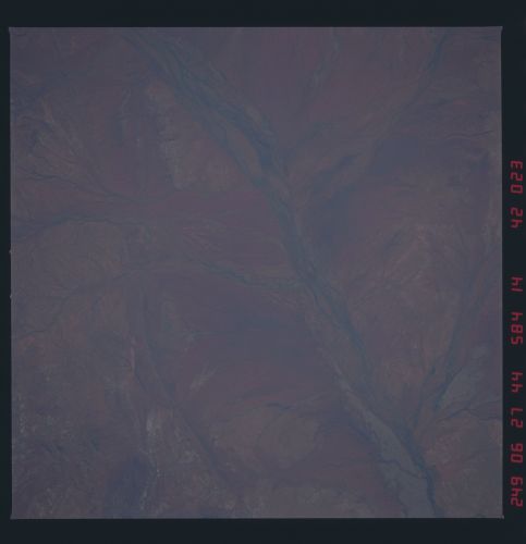
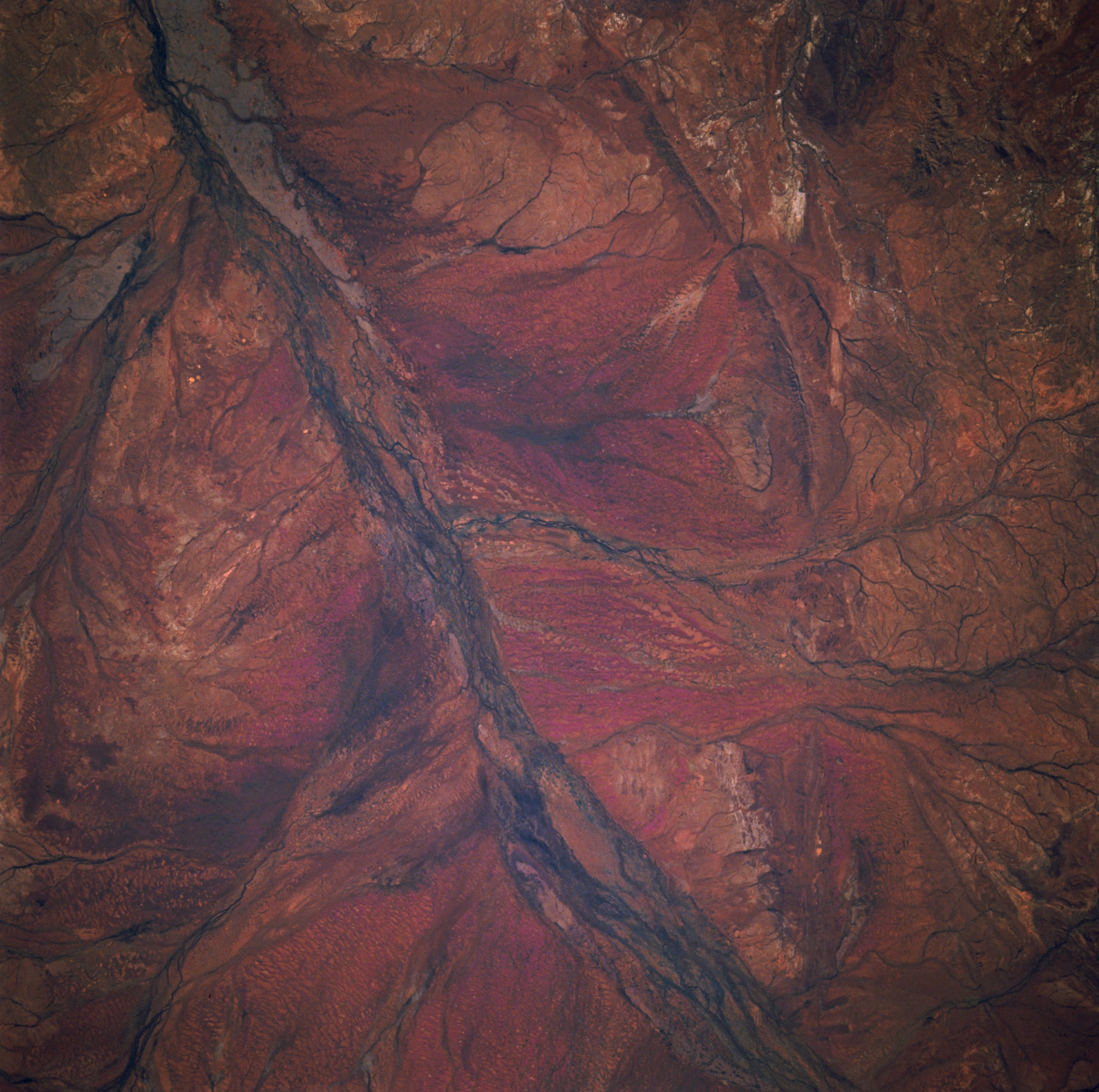
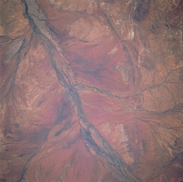
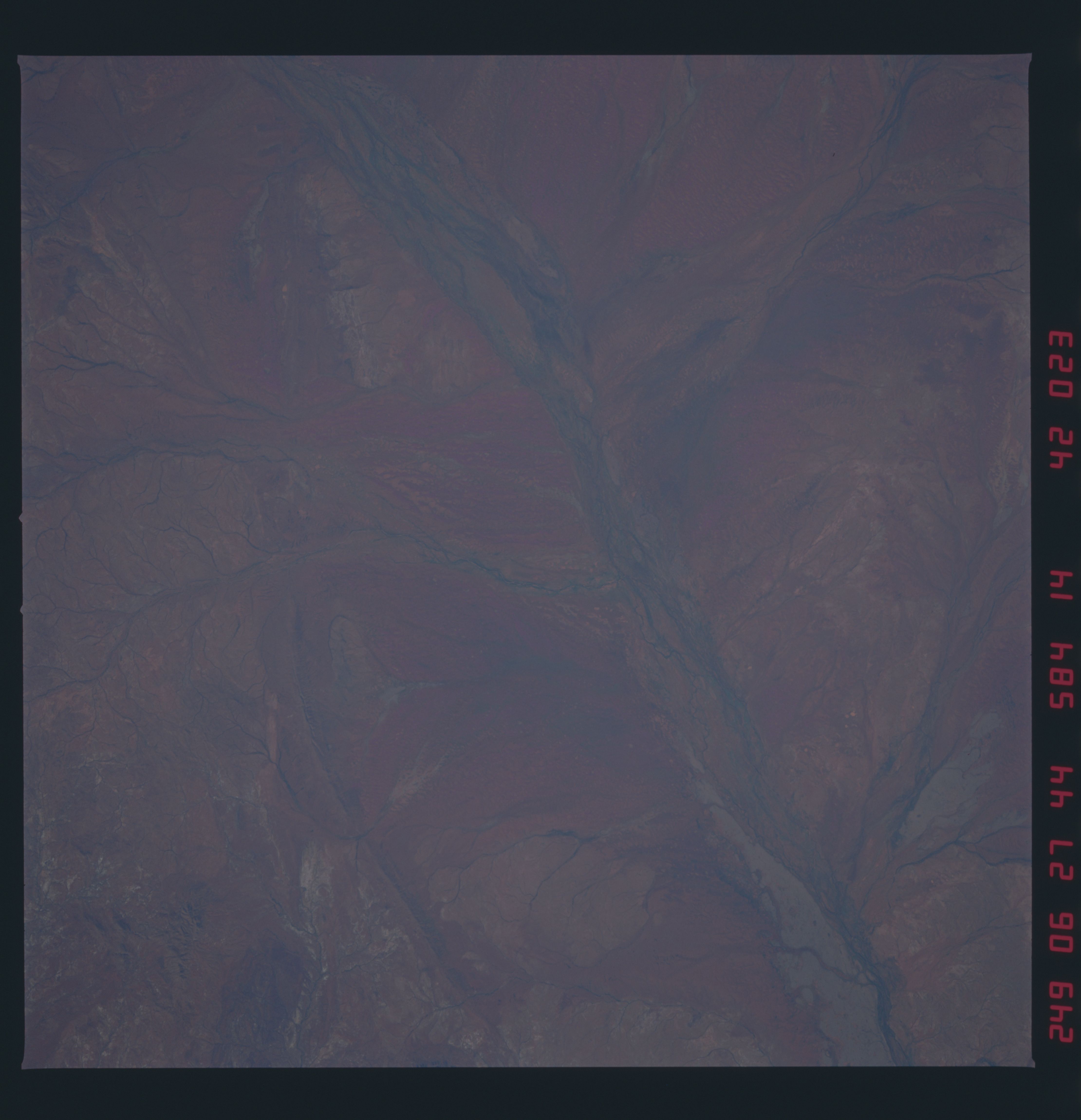
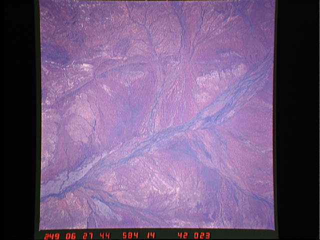
Image Caption: STS41D-42-0023 GASCOYNE RIVER, WA, AUSTRALIA, SEPTEMBER, 1984
An intricate and detailed drainage pattern of the ephemeral Gascoyne River (dark swath bottom center to upper left) can be observed in this arid region north of the Maeadam Plains in Western Australia. Numerous ephemeral tributary streams feed into the wide floodplain of the Gascoyne River from both the north and the south. Maps show this part of the river as a dry stream channel. The darker, linear features within the various braided stream channels are either an indication of some moisture (hence the darker appearance) or more likely, evidence the floodplain has sufficient moisture to support more vegetation than the surrounding desert landscape.
An intricate and detailed drainage pattern of the ephemeral Gascoyne River (dark swath bottom center to upper left) can be observed in this arid region north of the Maeadam Plains in Western Australia. Numerous ephemeral tributary streams feed into the wide floodplain of the Gascoyne River from both the north and the south. Maps show this part of the river as a dry stream channel. The darker, linear features within the various braided stream channels are either an indication of some moisture (hence the darker appearance) or more likely, evidence the floodplain has sufficient moisture to support more vegetation than the surrounding desert landscape.
