STS41D-38-113
| NASA Photo ID | STS41D-38-113 |
| Focal Length | 100mm |
| Date taken | 1984.09.03 |
| Time taken | 12:15:37 GMT |
Cloud masks available for this image:
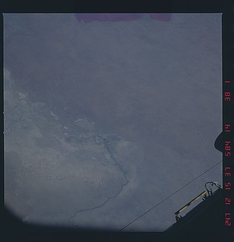
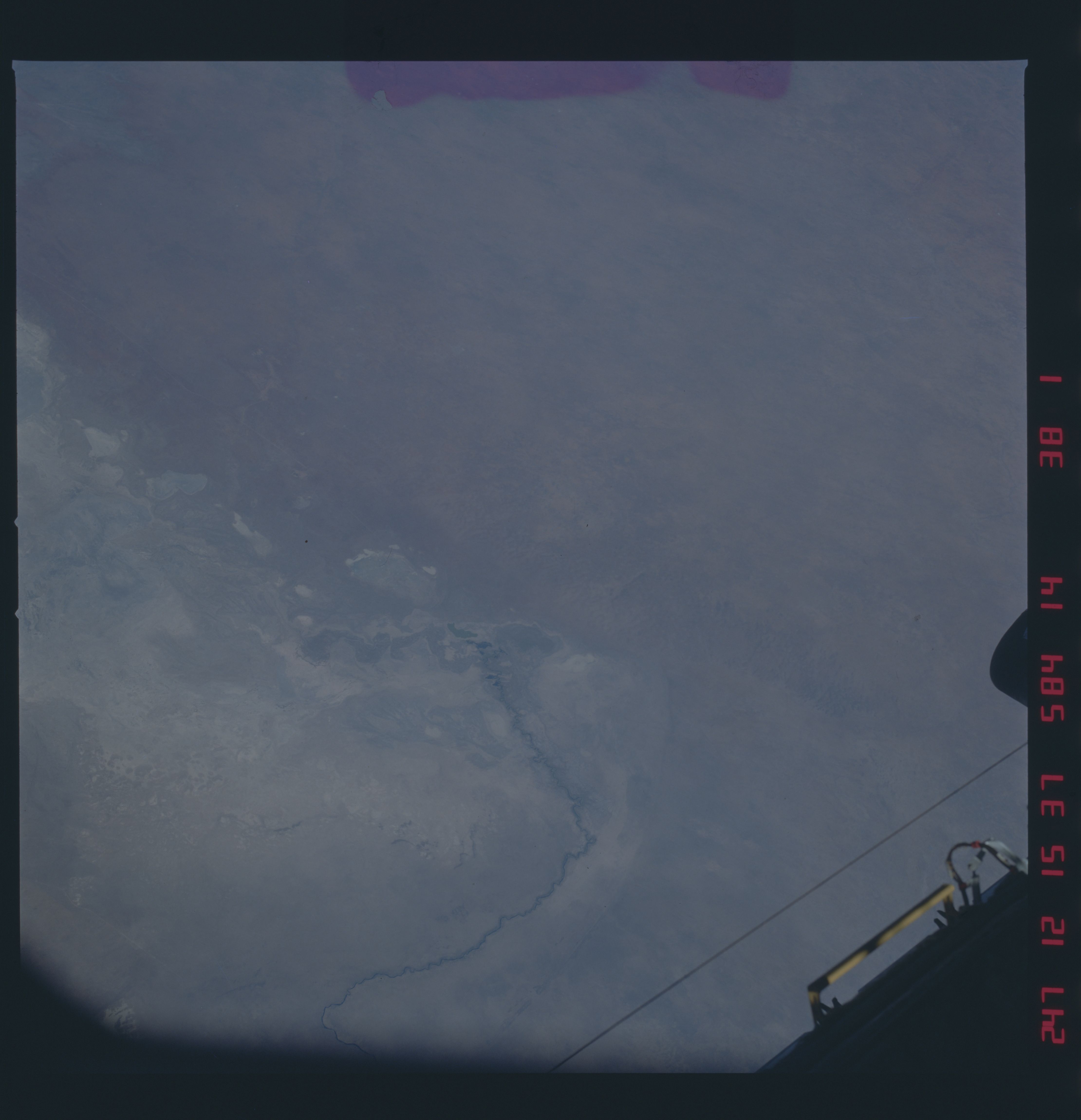
Spacecraft nadir point: 18.9° S, 23.8° E
Photo center point: 21.5° S, 24.5° E
Photo center point by machine learning:
Photo center point: 21.5° S, 24.5° E
Photo center point by machine learning:
Nadir to Photo Center: South
Spacecraft Altitude: 161 nautical miles (298km)
Country or Geographic Name: | BOTSWANA |
Features: | NTWETWE PAN |
| Features Found Using Machine Learning: | |
Cloud Cover Percentage: | 0 (no clouds present) |
Sun Elevation Angle: | 52° |
Sun Azimuth: | 111° |
Camera: | Hasselblad |
Focal Length: | 100mm |
Camera Tilt: | 45 degrees |
Format: | 6017: Kodak Ektachrome 64, 220 Roll Format |
Film Exposure: | Normal |
| Additional Information | |
| Width | Height | Annotated | Cropped | Purpose | Links |
|---|---|---|---|---|---|
| 4440 pixels | 4600 pixels | No | No | Download Image | |
| 483 pixels | 500 pixels | No | No | Download Image |
Download Packaged File
Download a Google Earth KML for this Image
View photo footprint information
Download a GeoTIFF for this photo
Image Caption: none
