STS41C-34-1355

| NASA Photo ID | STS41C-34-1355 |
| Focal Length | 250mm |
| Date taken | 1984.04.__ |
| Time taken | GMT |
Cloud masks available for this image:
Spacecraft nadir point:
Photo center point: 1.0° S, 33.5° E
Photo center point by machine learning:
Photo center point: 1.0° S, 33.5° E
Photo center point by machine learning:
Nadir to Photo Center:
Spacecraft Altitude: nautical miles (0km)
Country or Geographic Name: | TANZANIA |
Features: | LAKE VICTORIA |
| Features Found Using Machine Learning: | |
Cloud Cover Percentage: | 30 (26-50)% |
Sun Elevation Angle: | ° |
Sun Azimuth: | ° |
Camera: | Hasselblad |
Focal Length: | 250mm |
Camera Tilt: | Low Oblique |
Format: | 6017: Kodak Ektachrome 64, 220 Roll Format |
Film Exposure: | Normal |
| Additional Information | |
| Width | Height | Annotated | Cropped | Purpose | Links |
|---|---|---|---|---|---|
| 4410 pixels | 4600 pixels | No | No | Download Image | |
| 479 pixels | 500 pixels | No | No | Download Image | |
| 640 pixels | 480 pixels | No | No | Download Image |
Download Packaged File
Download a Google Earth KML for this Image
View photo footprint information
Download a GeoTIFF for this photo
Image Caption:
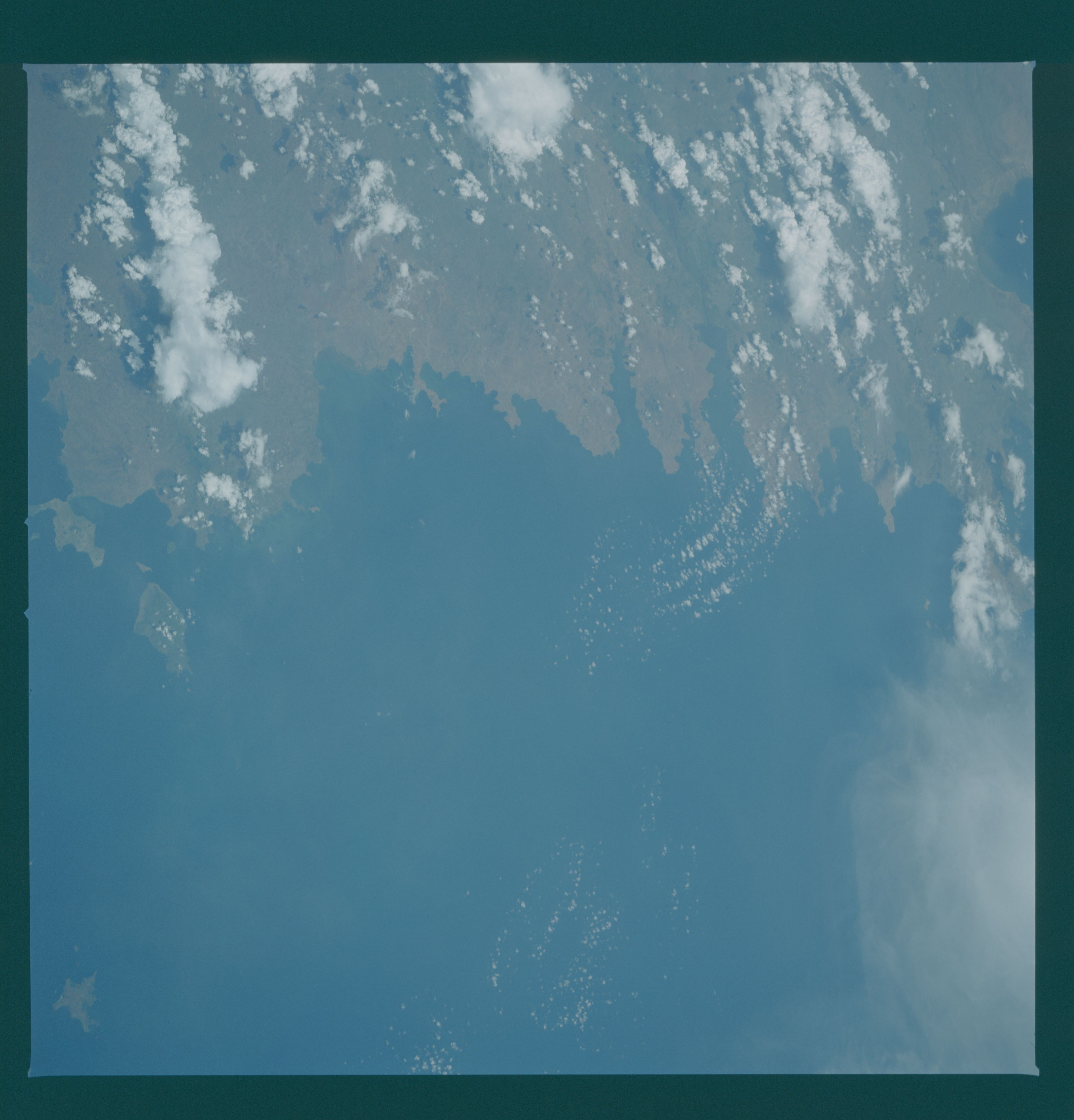
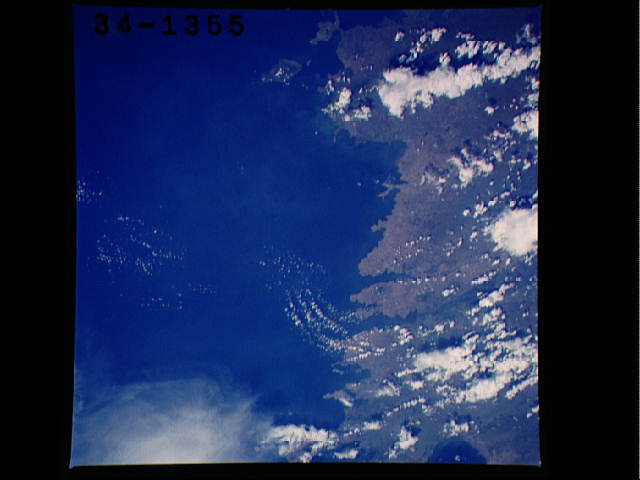
Kavirondo (Winam) Gulf, Lake Victoria T41
This low-oblique view looking south shows the eastern shoreline
of Lake Victoria from Kavirondo Gulf (1) to Speke Gulf (2). The
small islands of Rusinga (3), Mfanaganu (4), and Lolui (5) can
also be seen. The Kavirondo Gulf is surrounded by numerous vol-
canoes that attain elevations in excess of 2100 meters. The
Nyando River (6), which flows westward from the Mau escarpment
along the Kenya Rift Valley, can be seen depositing sediments
into the Kavirondo Gulf. (41C-34-1355, 1356)
