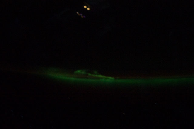
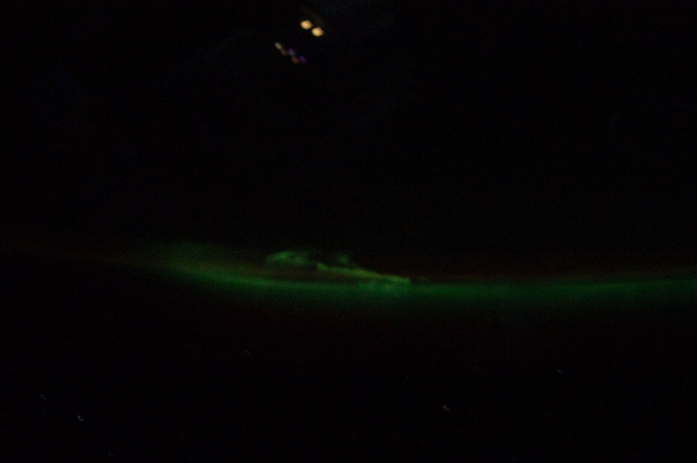
STS135-E-6368
| NASA Photo ID | STS135-E-6368 |
| Focal Length | 24mm |
| Date taken | 2011.07.09 |
| Time taken | 21:02:30 GMT |
Cloud masks available for this image:
Spacecraft nadir point: 43.7° S, 114.8° E
Photo center point:
Photo center point by machine learning:
Photo center point:
Photo center point by machine learning:
Nadir to Photo Center:
Spacecraft Altitude: 141 nautical miles (261km)
Country or Geographic Name: | AURORA |
Features: | CATALOGED BY UT-RIO GRANDE VALLEY |
| Features Found Using Machine Learning: | AURORA, PAN- |
Cloud Cover Percentage: | 0 (no clouds present) |
Sun Elevation Angle: | -30° |
Sun Azimuth: | 87° |
Camera: | Nikon D3S Electronic Still Camera |
Focal Length: | 24mm |
Camera Tilt: | |
Format: | 4256E: 4256 x 2832 pixel CMOS sensor, 36.0mm x 23.9mm, total pixels: 12.87 million, Nikon FX format |
Film Exposure: | |
| Additional Information | |
| Width | Height | Annotated | Cropped | Purpose | Links |
|---|---|---|---|---|---|
| 2784 pixels | 1848 pixels | No | No | Download Image | |
| 640 pixels | 425 pixels | No | No | Download Image |
Download Packaged File
Download a Google Earth KML for this Image
View photo footprint information
Download a GeoTIFF for this photo
Image Caption: none
