STS132-E-11275

| NASA Photo ID | STS132-E-11275 |
| Focal Length | 400mm |
| Date taken | 2010.05.24 |
| Time taken | 14:55:03 GMT |
Cloud masks available for this image:
Spacecraft nadir point: 28.2° N, 89.4° W
Photo center point: 30.0° N, 90.7° W
Photo center point by machine learning:
Photo center point: 30.0° N, 90.7° W
Photo center point by machine learning:
Nadir to Photo Center: Northwest
Spacecraft Altitude: 183 nautical miles (339km)
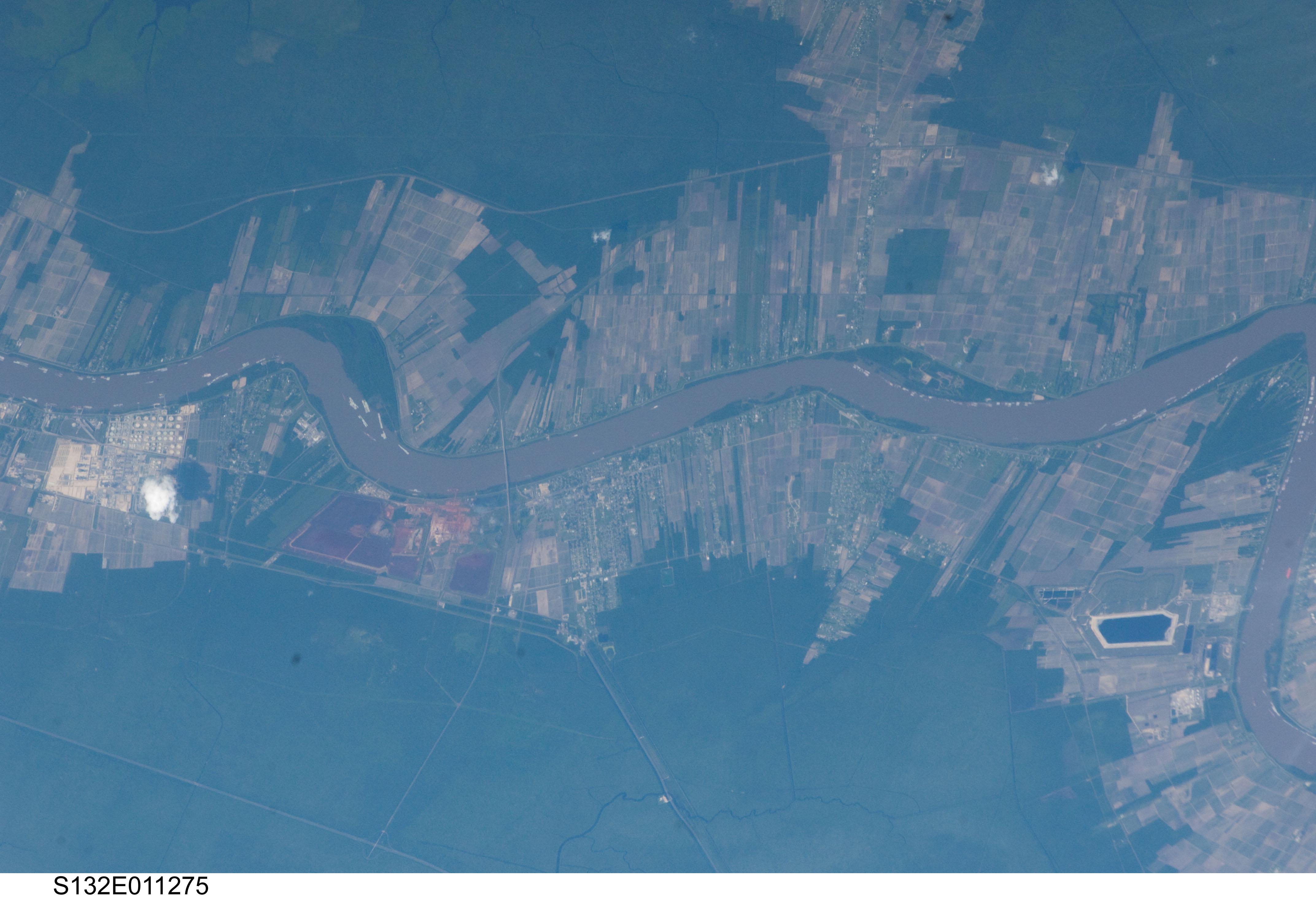
Country or Geographic Name: | USA-LOUISIANA |
Features: | MISSISSIPPI R., ST JAMES PARISH, ST JOHN THE BAPTIST PARISH, GARYVILLE |
| Features Found Using Machine Learning: | |
Cloud Cover Percentage: | 10 (1-10)% |
Sun Elevation Angle: | 49° |
Sun Azimuth: | 90° |
Camera: | Nikon D2Xs Electronic Still Camera |
Focal Length: | 400mm |
Camera Tilt: | 36 degrees |
Format: | 4288E: 4288 x 2848 pixel CMOS sensor, RGBG imager color filter |
Film Exposure: | |
| Additional Information | |
| Width | Height | Annotated | Cropped | Purpose | Links |
|---|---|---|---|---|---|
| 4288 pixels | 2929 pixels | No | No | Download Image | |
| 640 pixels | 437 pixels | No | No | Download Image |
Download Packaged File
Download a Google Earth KML for this Image
View photo footprint information
Download a GeoTIFF for this photo
Georeferenced by human interaction - exported 2016-08-16-230246-UTCGeoreferenced by human interaction - exported 2016-08-23-234901-UTC
Georeferenced by human interaction - exported 2018-01-16-143730-UTC
An explanation of the georeference file(s) above
Image Caption: none
