STS131-E-12307

| NASA Photo ID | STS131-E-12307 |
| Focal Length | 22mm |
| Date taken | 2010.04.12 |
| Time taken | 06:31:07 GMT |
Cloud masks available for this image:
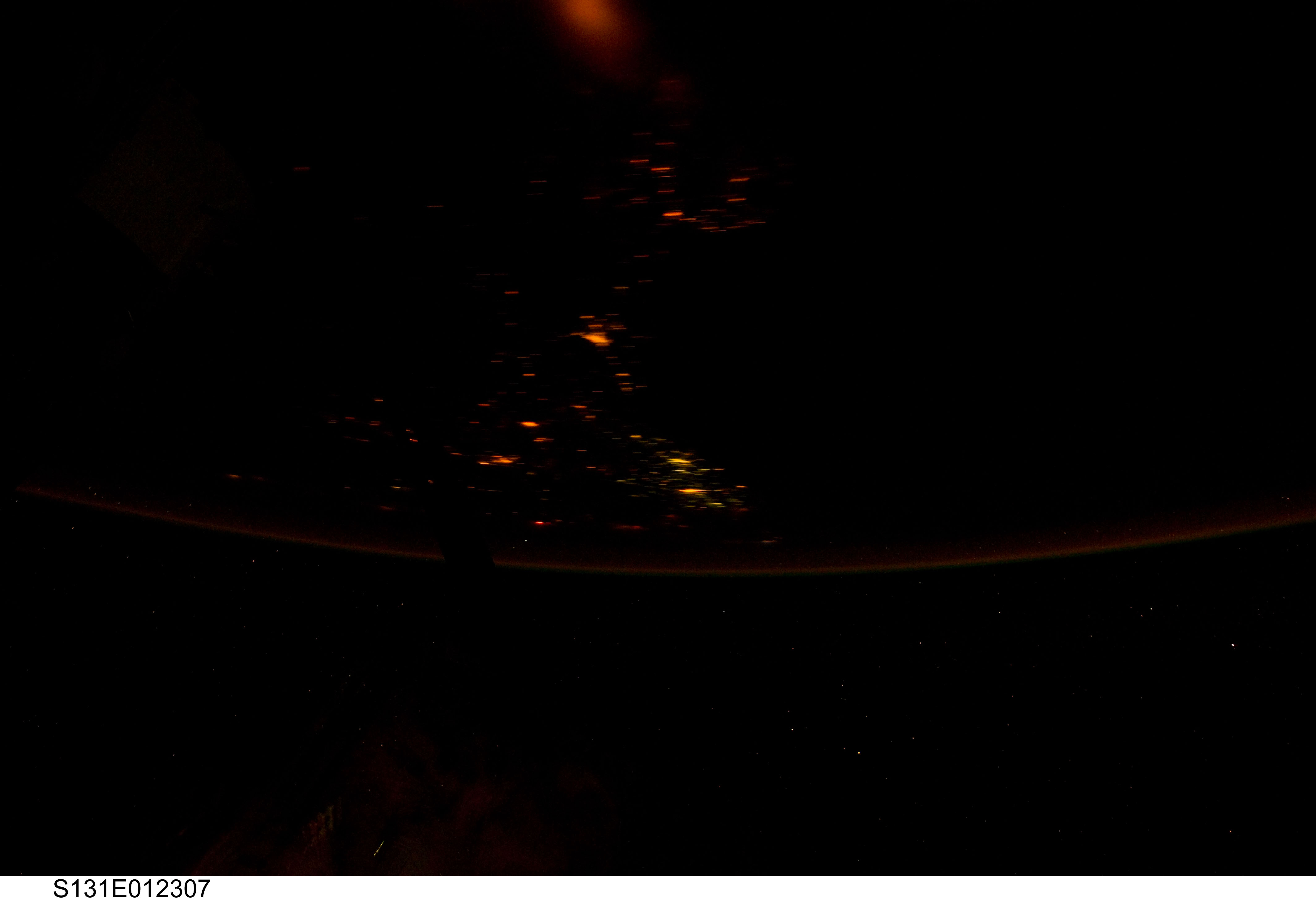
Spacecraft nadir point: 8.4° N, 82.5° W
Photo center point:
Photo center point by machine learning:
Photo center point:
Photo center point by machine learning:
Nadir to Photo Center:
Spacecraft Altitude: 188 nautical miles (348km)
Country or Geographic Name: | ATMOSPHERIC LIMB |
Features: | ATMOSPHERIC LIMB |
| Features Found Using Machine Learning: | |
Cloud Cover Percentage: | 0 (no clouds present) |
Sun Elevation Angle: | -67° |
Sun Azimuth: | 42° |
Camera: | Nikon D3S Electronic Still Camera |
Focal Length: | 22mm |
Camera Tilt: | High Oblique |
Format: | 4256E: 4256 x 2832 pixel CMOS sensor, 36.0mm x 23.9mm, total pixels: 12.87 million, Nikon FX format |
Film Exposure: | |
| Additional Information | |
| Width | Height | Annotated | Cropped | Purpose | Links |
|---|---|---|---|---|---|
| 4256 pixels | 2913 pixels | No | No | Download Image | |
| 640 pixels | 438 pixels | No | No | Download Image |
Download Packaged File
Download a Google Earth KML for this Image
View photo footprint information
Download a GeoTIFF for this photo
Image Caption: CATALOGED BY TEXAS STATE UNIVERSITY
