STS125-E-13365

| NASA Photo ID | STS125-E-13365 |
| Focal Length | 24mm |
| Date taken | 2009.05.21 |
| Time taken | 08:27:32 GMT |
Cloud masks available for this image:
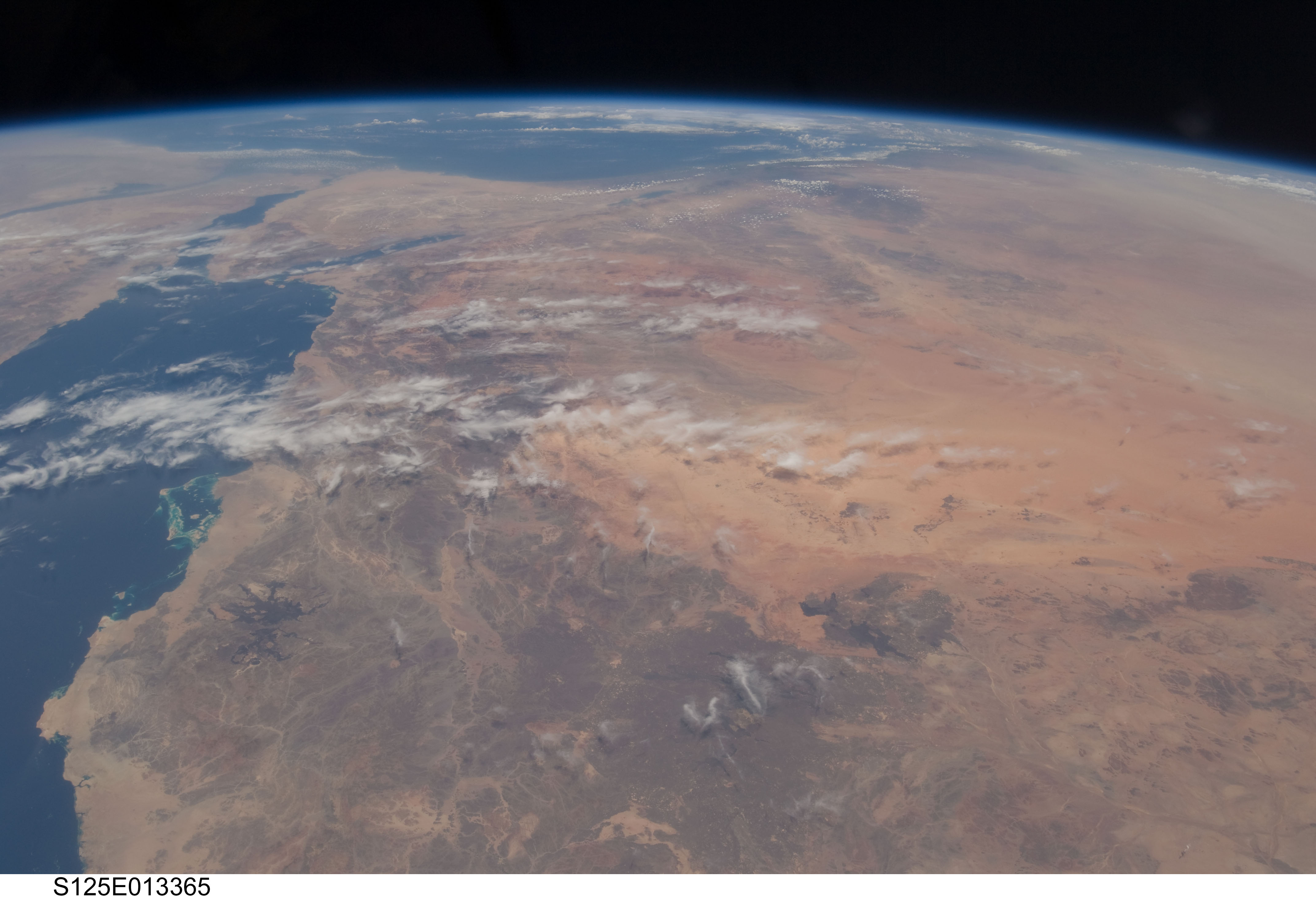
Spacecraft nadir point: 23.1° N, 39.4° E
Photo center point: 27.0° N, 38.5° E
Photo center point by machine learning:
Photo center point: 27.0° N, 38.5° E
Photo center point by machine learning:
Nadir to Photo Center: North
Spacecraft Altitude: 202 nautical miles (374km)
Country or Geographic Name: | SAUDI ARABIA |
Features: | HEJAZ MTS., AN NAFUD DES. |
| Features Found Using Machine Learning: | PAN- |
Cloud Cover Percentage: | 100 (76-100)% |
Sun Elevation Angle: | 78° |
Sun Azimuth: | 100° |
Camera: | Nikon D2Xs Electronic Still Camera |
Focal Length: | 24mm |
Camera Tilt: | 50 degrees |
Format: | 4288E: 4288 x 2848 pixel CMOS sensor, RGBG imager color filter |
Film Exposure: | |
| Additional Information | |
| Width | Height | Annotated | Cropped | Purpose | Links |
|---|---|---|---|---|---|
| 4288 pixels | 2929 pixels | No | No | Download Image | |
| 640 pixels | 437 pixels | No | No | Download Image |
Download Packaged File
Download a Google Earth KML for this Image
View photo footprint information
Download a GeoTIFF for this photo
Image Caption: CATALOGED BY TEXAS STATE UNIVERSITY
