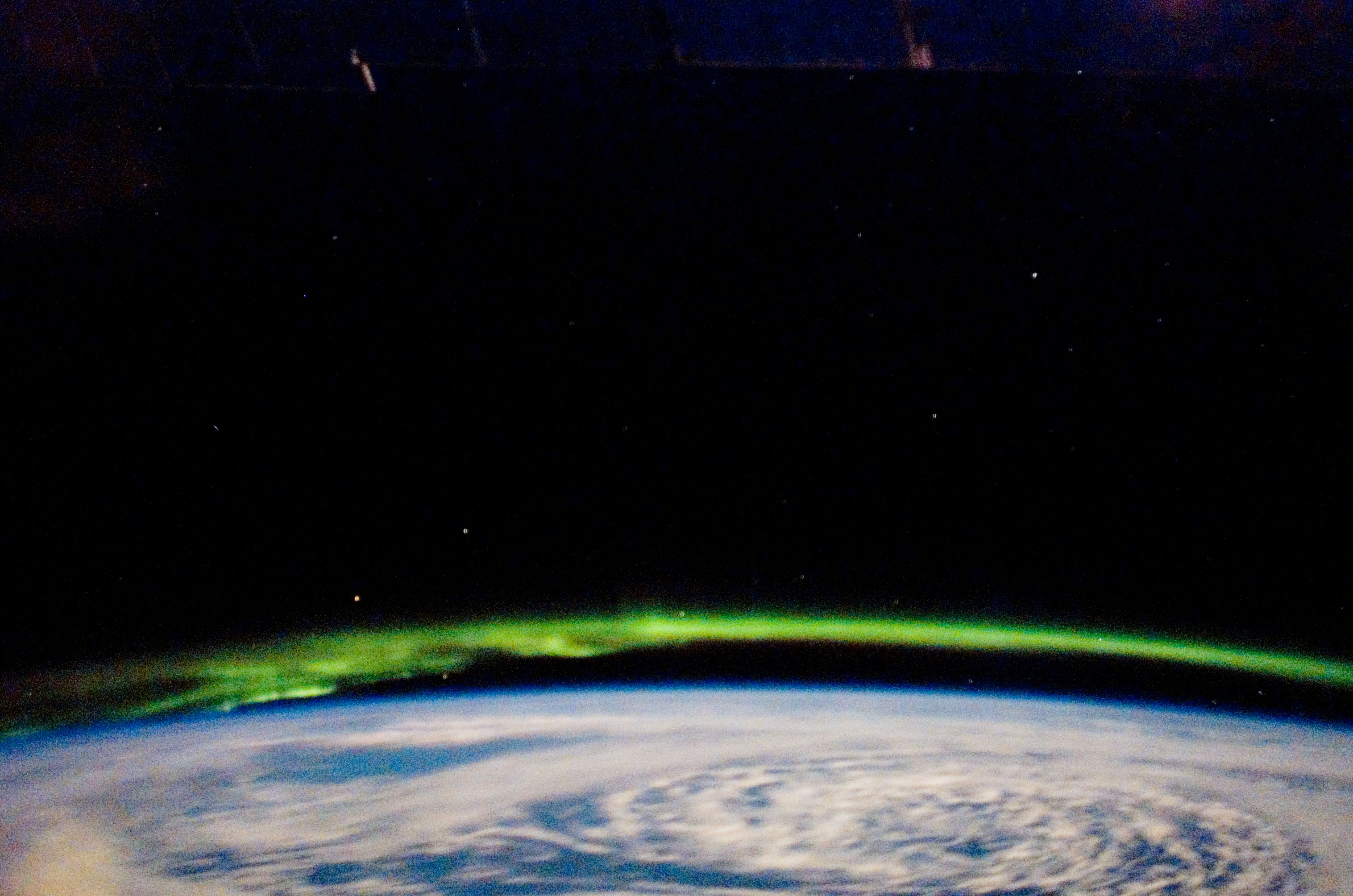
STS123-E-8018

| NASA Photo ID | STS123-E-8018 |
| Focal Length | 28mm |
| Date taken | 2008.03.21 |
| Time taken | 09:08:46 GMT |
Cloud masks available for this image:
Spacecraft nadir point: 47.9° N, 146.7° W
Photo center point:
Photo center point by machine learning:
Photo center point:
Photo center point by machine learning:
Nadir to Photo Center:
Spacecraft Altitude: 181 nautical miles (335km)
Country or Geographic Name: | AURORA |
Features: | CATALOGED BY UT-RIO GRANDE VALLEY, EARTH LIMB, EARTHOBS, CLOUDS |
| Features Found Using Machine Learning: | AURORA, PAN- |
Cloud Cover Percentage: | |
Sun Elevation Angle: | -41° |
Sun Azimuth: | 345° |
Camera: | |
Focal Length: | 28mm |
Camera Tilt: | |
Format: | |
Film Exposure: | |
| Additional Information | |
| Width | Height | Annotated | Cropped | Purpose | Links |
|---|---|---|---|---|---|
| 3032 pixels | 2008 pixels | No | No | Download Image | |
| 640 pixels | 424 pixels | No | No | Download Image |
Download Packaged File
Download a Google Earth KML for this Image
View photo footprint information
Download a GeoTIFF for this photo
Image Caption: none
