STS122-E-12489

| NASA Photo ID | STS122-E-12489 |
| Focal Length | 200mm |
| Date taken | 2008.02.19 |
| Time taken | 16:51:54 GMT |
Cloud masks available for this image:
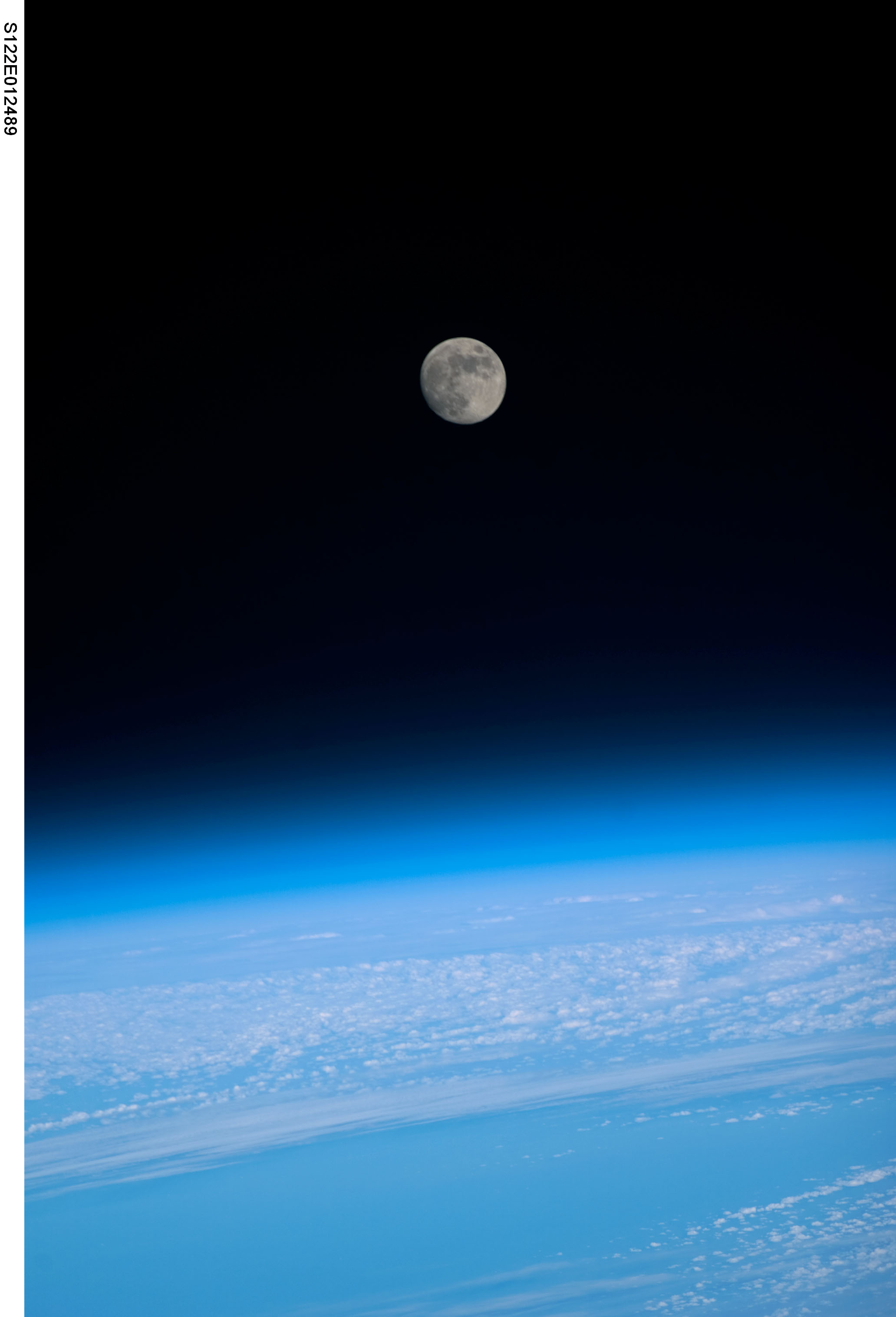
Spacecraft nadir point: 51.5° N, 52.9° W
Photo center point:
Photo center point by machine learning:
Photo center point:
Photo center point by machine learning:
Nadir to Photo Center:
Spacecraft Altitude: 175 nautical miles (324km)
Country or Geographic Name: | ASTRONOMICAL OBJECTS |
Features: | CATALOGED BY UT-RIO GRANDE VALLEY, ATMOSPHERIC LIMB, CLOUDS, LIGHT EARTHOBS |
| Features Found Using Machine Learning: | MOON |
Cloud Cover Percentage: | |
Sun Elevation Angle: | 26° |
Sun Azimuth: | 198° |
Camera: | Kodak DCS760c Electronic Still Camera |
Focal Length: | 200mm |
Camera Tilt: | |
Format: | 3060E: 3060 x 2036 pixel CCD, RGBG array |
Film Exposure: | |
| Additional Information | |
| Width | Height | Annotated | Cropped | Purpose | Links |
|---|---|---|---|---|---|
| 2064 pixels | 3032 pixels | No | No | Download Image | |
| 436 pixels | 640 pixels | No | No | Download Image |
Download Packaged File
Download a Google Earth KML for this Image
View photo footprint information
Download a GeoTIFF for this photo
Image Caption: none
