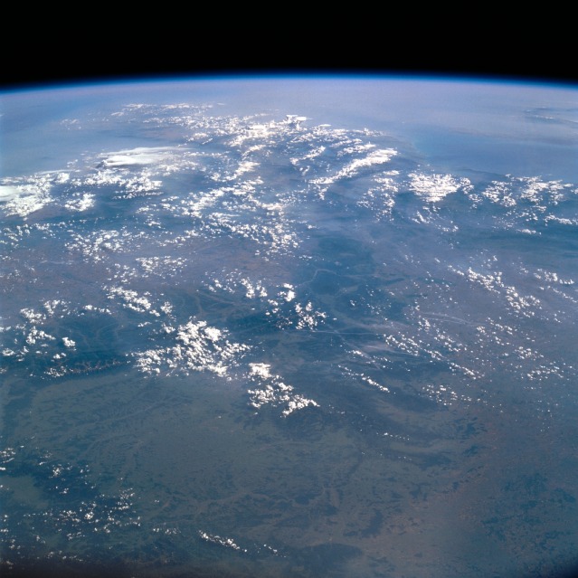
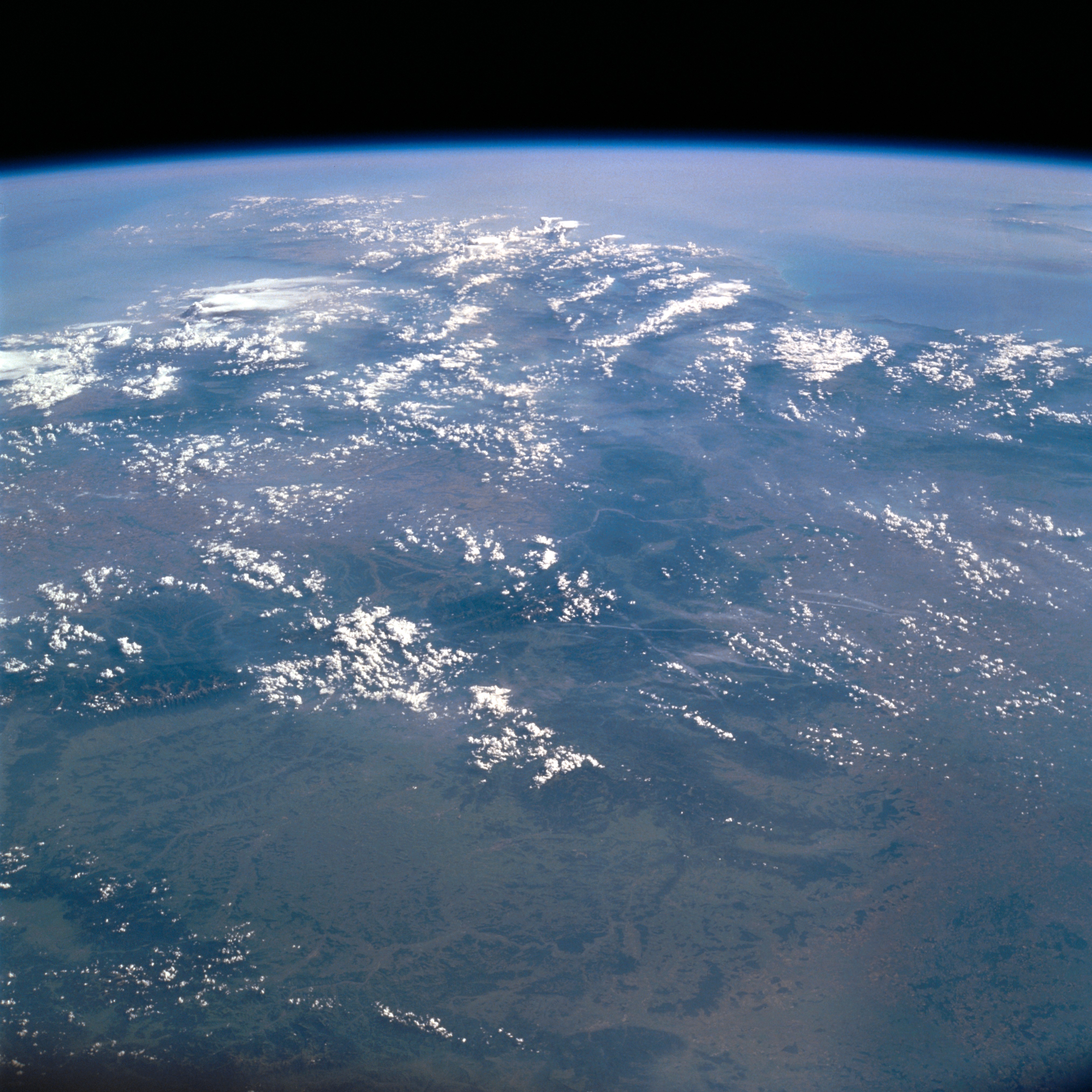
STS111-709-91
| NASA Photo ID | STS111-709-91 |
| Focal Length | 50mm |
| Date taken | 2002.06.15 |
| Time taken | 14:27:23 GMT |
Cloud masks available for this image:
Spacecraft nadir point: 51.7° N, 25.5° E
Photo center point: 45.0° N, 22.0° E
Photo center point by machine learning:
Photo center point: 45.0° N, 22.0° E
Photo center point by machine learning:
Nadir to Photo Center: Southwest
Spacecraft Altitude: 211 nautical miles (391km)
Country or Geographic Name: | ROMANIA |
Features: | PAN-DANUBE VALLEY, MTS. |
| Features Found Using Machine Learning: | |
Cloud Cover Percentage: | 75 (51-75)% |
Sun Elevation Angle: | 35° |
Sun Azimuth: | 264° |
Camera: | Hasselblad |
Focal Length: | 50mm |
Camera Tilt: | High Oblique |
Format: | 5069: Kodak Elite 100S, E6 Reversal, Replaces Lumiere, Warmer in tone vs. Lumiere |
Film Exposure: | |
| Additional Information | |
| Width | Height | Annotated | Cropped | Purpose | Links |
|---|---|---|---|---|---|
| 4052 pixels | 4052 pixels | No | No | Download Image | |
| 639 pixels | 639 pixels | No | No | Download Image |
Download Packaged File
Download a Google Earth KML for this Image
View photo footprint information
Download a GeoTIFF for this photo
Image Caption: none
