STS111-372-27
| NASA Photo ID | STS111-372-27 |
| Focal Length | mm |
| Date taken | 2002.06.15 |
| Time taken | 21:52:29 GMT |
Cloud masks available for this image:
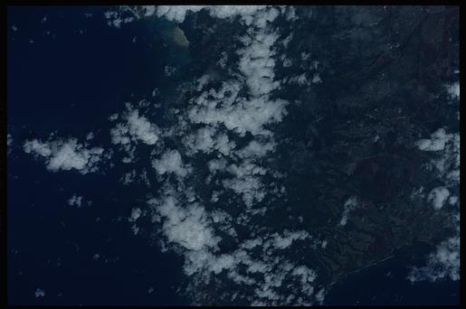
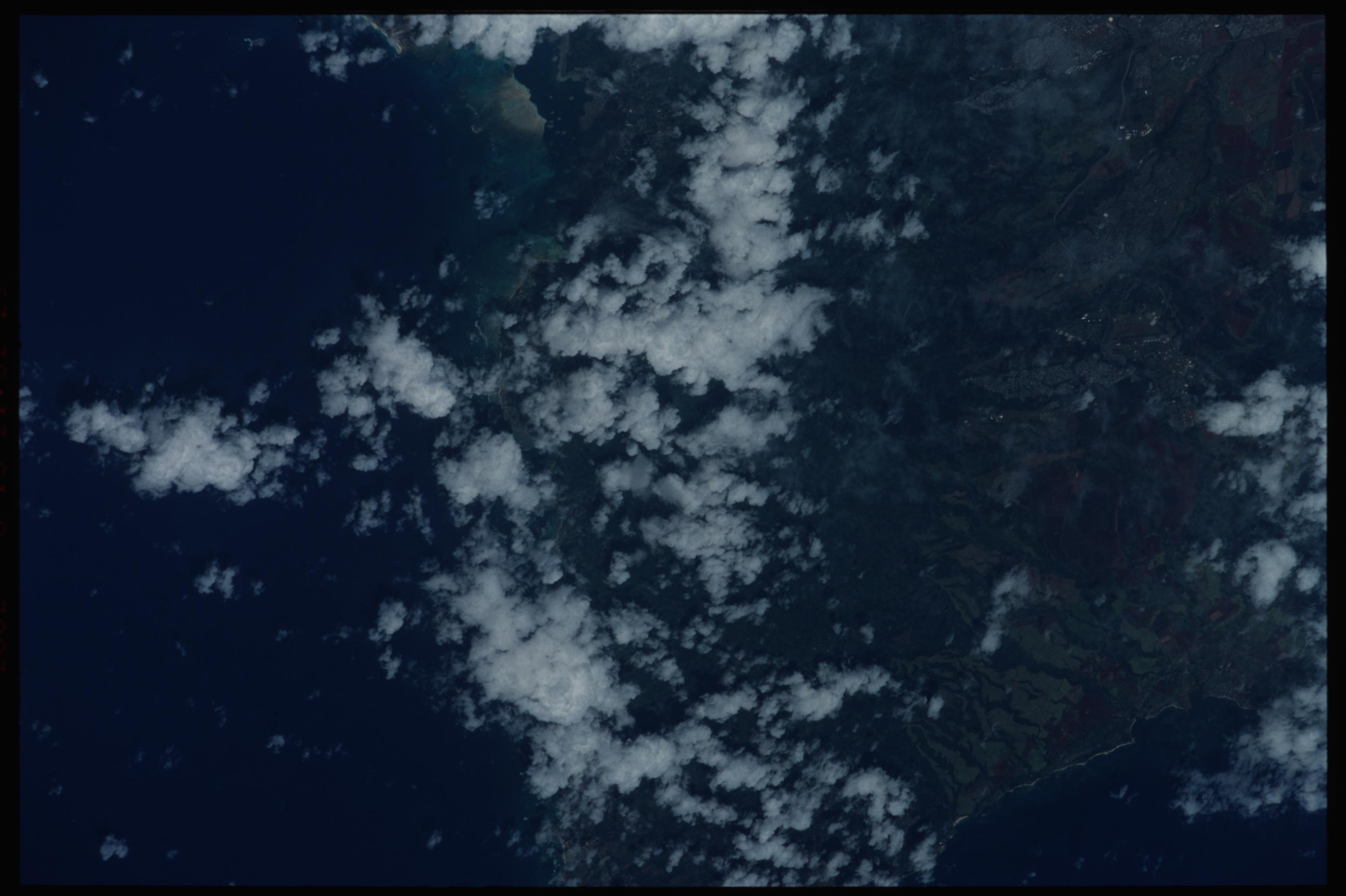
Spacecraft nadir point: 21.1° N, 155.2° W
Photo center point: 21.5° N, 158.0° W
Photo center point by machine learning:
Photo center point: 21.5° N, 158.0° W
Photo center point by machine learning:
Nadir to Photo Center: West
Spacecraft Altitude: 186 nautical miles (344km)
Country or Geographic Name: | USA-HAWAII |
Features: | KOOLAU RANGE |
| Features Found Using Machine Learning: | |
Cloud Cover Percentage: | 25 (11-25)% |
Sun Elevation Angle: | 83° |
Sun Azimuth: | 69° |
Camera: | Nikon 35mm film camera |
Focal Length: | mm |
Camera Tilt: | 42 degrees |
Format: | 5069: Kodak Elite 100S, E6 Reversal, Replaces Lumiere, Warmer in tone vs. Lumiere |
Film Exposure: | |
| Additional Information | |
| Width | Height | Annotated | Cropped | Purpose | Links |
|---|---|---|---|---|---|
| 3070 pixels | 2044 pixels | No | No | Download Image | |
| 515 pixels | 342 pixels | No | No | Download Image |
Download Packaged File
Download a Google Earth KML for this Image
View photo footprint information
Download a GeoTIFF for this photo
Image Caption: none
