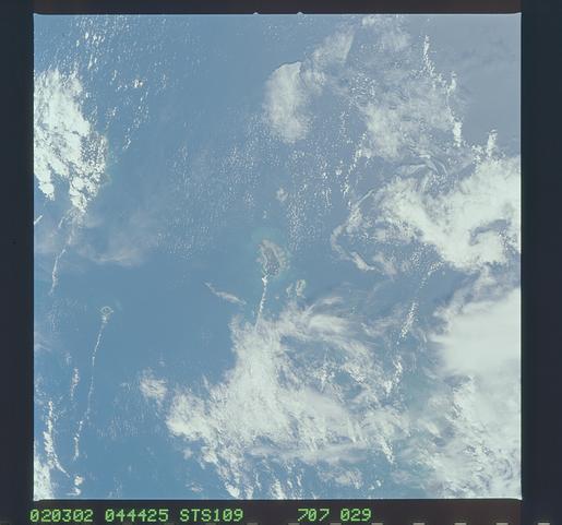
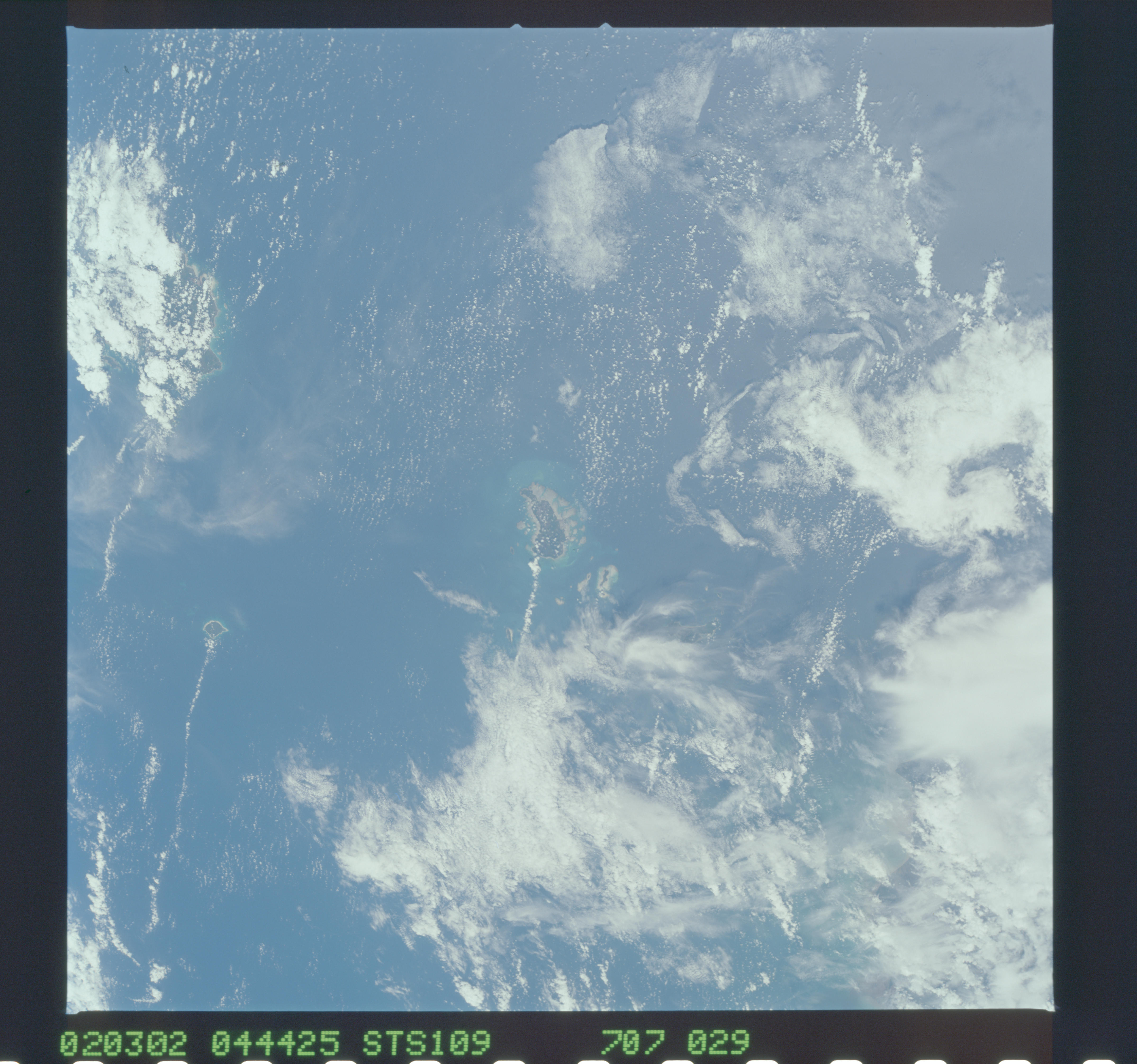
STS109-707-29
| NASA Photo ID | STS109-707-29 |
| Focal Length | 110mm |
| Date taken | 2002.03.02 |
| Time taken | 04:44:25 GMT |
Cloud masks available for this image:
Spacecraft nadir point: 4.7° N, 110.9° E
Photo center point: 3.0° N, 109.0° E
Photo center point by machine learning:
Photo center point: 3.0° N, 109.0° E
Photo center point by machine learning:
Nadir to Photo Center: Southwest
Spacecraft Altitude: 242 nautical miles (448km)
Country or Geographic Name: | INDONESIA-S |
Features: | SUBI-BESAR ISLAND |
| Features Found Using Machine Learning: | |
Cloud Cover Percentage: | 75 (51-75)% |
Sun Elevation Angle: | 78° |
Sun Azimuth: | 175° |
Camera: | Hasselblad |
Focal Length: | 110mm |
Camera Tilt: | 32 degrees |
Format: | 5069: Kodak Elite 100S, E6 Reversal, Replaces Lumiere, Warmer in tone vs. Lumiere |
Film Exposure: | |
| Additional Information | |
| Width | Height | Annotated | Cropped | Purpose | Links |
|---|---|---|---|---|---|
| 4800 pixels | 4489 pixels | No | No | Download Image | |
| 515 pixels | 481 pixels | No | No | Download Image |
Download Packaged File
Download a Google Earth KML for this Image
View photo footprint information
Download a GeoTIFF for this photo
Image Caption: none
