STS106-305-15
| NASA Photo ID | STS106-305-15 |
| Focal Length | mm |
| Date taken | 2000.09.15 |
| Time taken | 15:42:58 GMT |
Cloud masks available for this image:
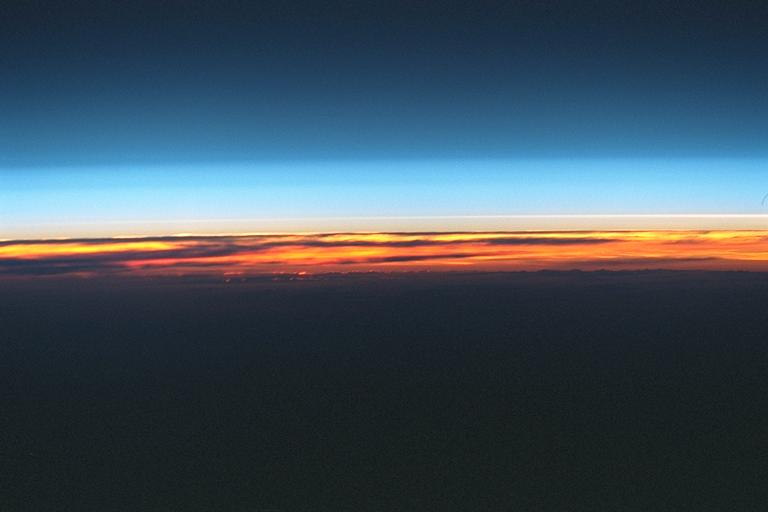
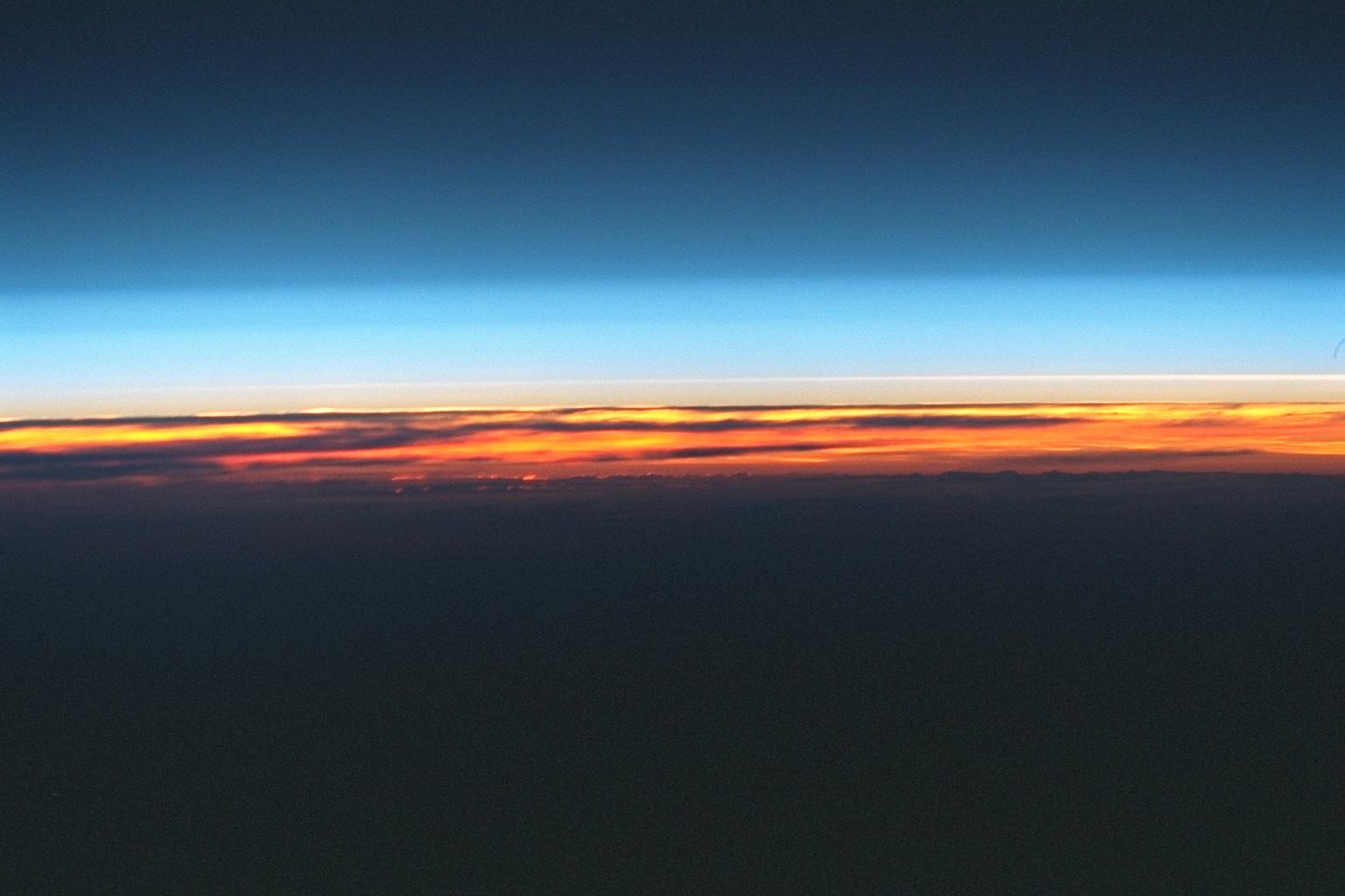
Spacecraft nadir point: 25.9° N, 170.1° W
Photo center point:
Photo center point by machine learning:
Photo center point:
Photo center point by machine learning:
Nadir to Photo Center:
Spacecraft Altitude: 203 nautical miles (376km)
Country or Geographic Name: | ATMOSPHERIC LIMB |
Features: | ATMOSPHERIC LIMB, CLOUDS |
| Features Found Using Machine Learning: | |
Cloud Cover Percentage: | |
Sun Elevation Angle: | -19° |
Sun Azimuth: | 77° |
Camera: | Nikon 35mm film camera |
Focal Length: | mm |
Camera Tilt: | High Oblique |
Format: | 5776: Portra 400VC, color negative, 35mm, ASA 400 |
Film Exposure: | |
| Additional Information | |
| Width | Height | Annotated | Cropped | Purpose | Links |
|---|---|---|---|---|---|
| 1536 pixels | 1024 pixels | No | No | Download Image | |
| 768 pixels | 512 pixels | No | No | Download Image |
Download Packaged File
Download a Google Earth KML for this Image
View photo footprint information
Download a GeoTIFF for this photo
Image Caption: none
