STS105-723-7

| NASA Photo ID | STS105-723-7 |
| Focal Length | 110mm |
| Date taken | 2001.08.19 |
| Time taken | GMT |
Resolutions offered for this image:
1296 x 1105 pixels 540 x 422 pixels 1030 x 1024 pixels 2063 x 2048 pixels 4127 x 4096 pixels 515 x 512 pixels 1308 x 1326 pixels 1253 x 1287 pixels 400 x 313 pixels
1296 x 1105 pixels 540 x 422 pixels 1030 x 1024 pixels 2063 x 2048 pixels 4127 x 4096 pixels 515 x 512 pixels 1308 x 1326 pixels 1253 x 1287 pixels 400 x 313 pixels


Cloud masks available for this image:
Spacecraft nadir point:
Photo center point:
Photo center point by machine learning:
Photo center point:
Photo center point by machine learning:
Nadir to Photo Center:
Spacecraft Altitude: nautical miles (0km)
Camera: | Hasselblad |
Focal Length: | 110mm |
Camera Tilt: | High Oblique |
Format: | 5069: Kodak Elite 100S, E6 Reversal, Replaces Lumiere, Warmer in tone vs. Lumiere |
Film Exposure: | |
| Additional Information | |
| Width | Height | Annotated | Cropped | Purpose | Links |
|---|---|---|---|---|---|
| 1296 pixels | 1105 pixels | NASA's Earth Observatory web site | Download Image | ||
| 540 pixels | 422 pixels | Yes | Yes | NASA's Earth Observatory web site | Download Image |
| 1030 pixels | 1024 pixels | No | No | Download Image | |
| 2063 pixels | 2048 pixels | No | No | Download Image | |
| 4127 pixels | 4096 pixels | No | No | Download Image | |
| 515 pixels | 512 pixels | No | No | Download Image | |
| 1308 pixels | 1326 pixels | No | No | Download Image | |
| 1253 pixels | 1287 pixels | No | No | Download Image | |
| 400 pixels | 313 pixels | Yes | No | Photographic Highlights | Download Image |
Download Packaged File
Download a Google Earth KML for this Image
View photo footprint information
Download a GeoTIFF for this photo
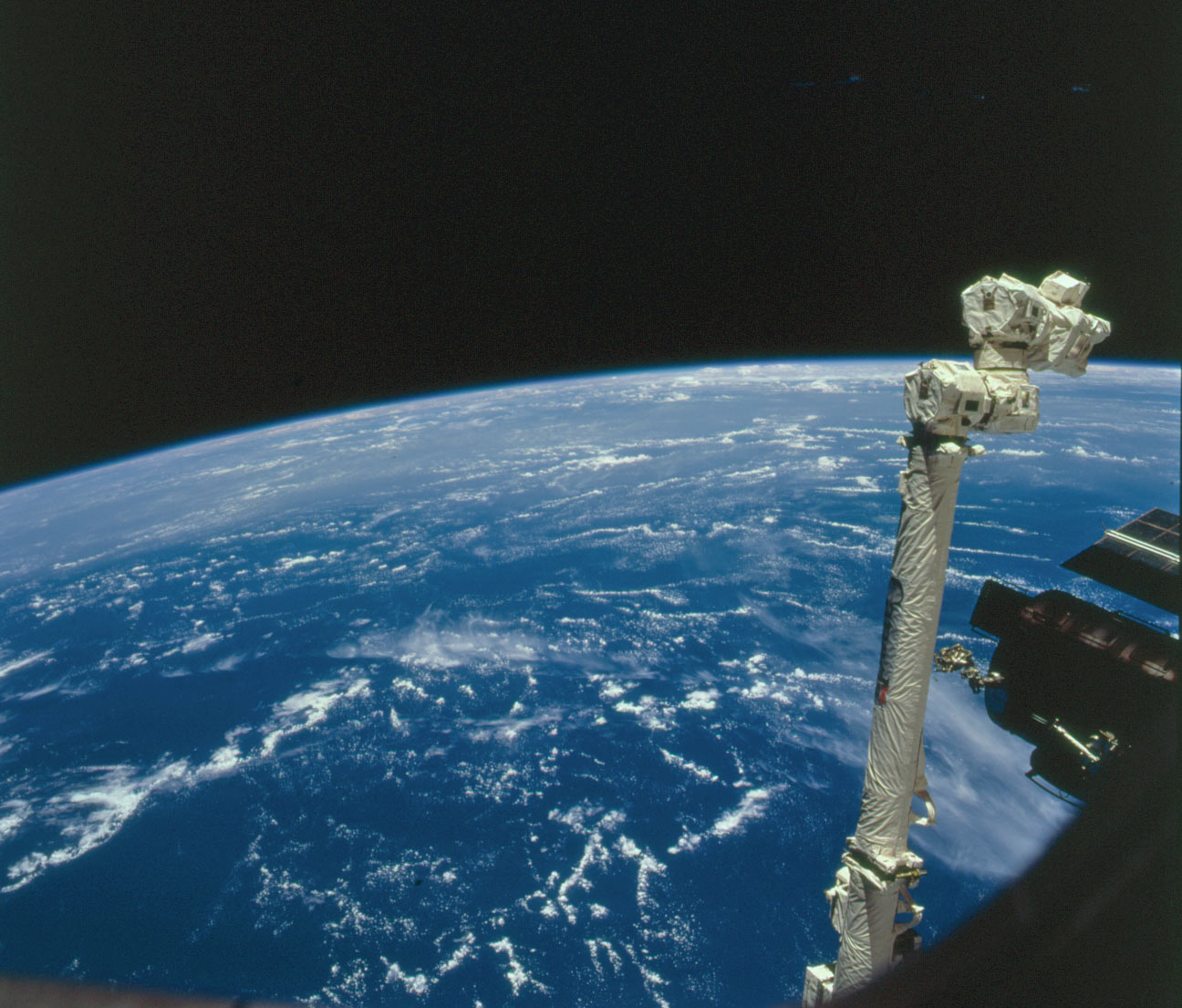
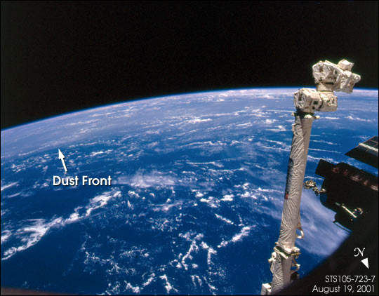
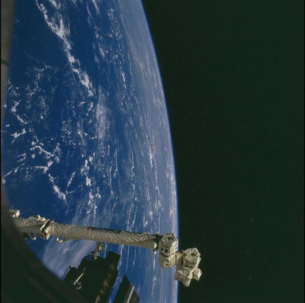
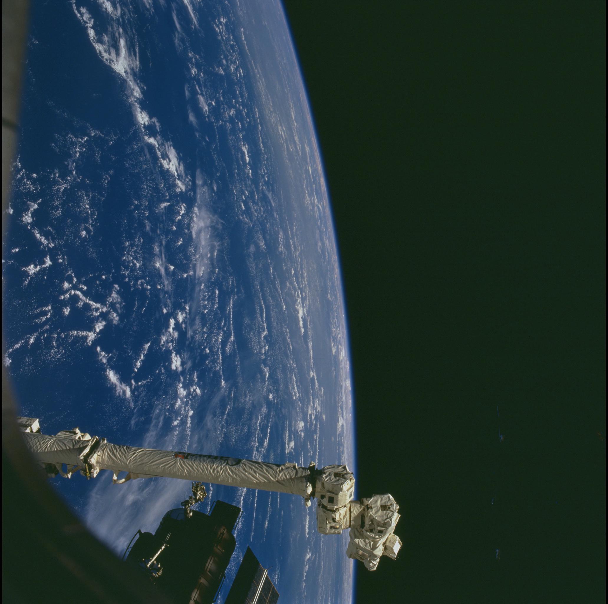
Image Caption: Shuttle astronauts frequently track Saharan dust storms as they blow from north Africa across the Atlantic Ocean. Dust palls blowing from Africa take about a week to cross the Atlantic. Recently, researchers have linked Saharan dust to coral disease, allergic reactions in humans, and red tides. The photograph was taken by Space Shuttle astronauts while docked to the International Space Station on August 19, 2001. The spacecraft is over the Atlantic Ocean at roughly 45degN, 60degW. The astronauts were looking obliquely to the south; the boundaries of the dust plumes can be traced visually by the abrupt change from clear to hazy atmosphere-the hazy line marks the northern edge of the dust pall near the Caribbean.
