STS105-333-19
| NASA Photo ID | STS105-333-19 |
| Focal Length | mm |
| Date taken | 2001.08.19 |
| Time taken | 17:46:51 GMT |
Cloud masks available for this image:
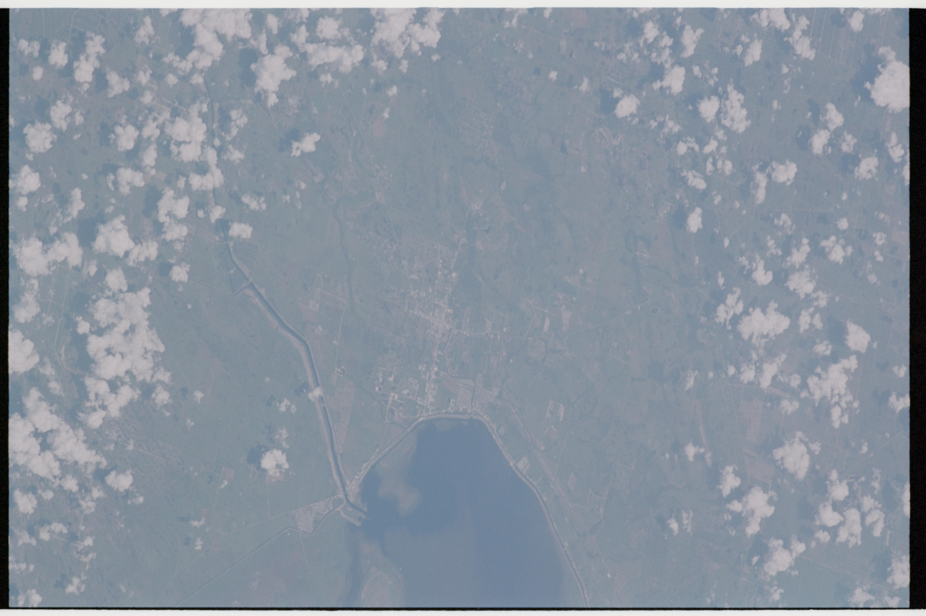
Spacecraft nadir point: 25.6° N, 84.3° W
Photo center point: 26.5° N, 80.5° W
Photo center point by machine learning:
Photo center point: 26.5° N, 80.5° W
Photo center point by machine learning:
Nadir to Photo Center: East
Spacecraft Altitude: 210 nautical miles (389km)
Country or Geographic Name: | USA-FLORIDA |
Features: | LAKE OKEECHOBEE |
| Features Found Using Machine Learning: | |
Cloud Cover Percentage: | 50 (26-50)% |
Sun Elevation Angle: | 77° |
Sun Azimuth: | 187° |
Camera: | |
Focal Length: | mm |
Camera Tilt: | 48 degrees |
Format: | |
Film Exposure: | |
| Additional Information | |
| Width | Height | Annotated | Cropped | Purpose | Links |
|---|---|---|---|---|---|
| 3070 pixels | 2044 pixels | No | No | Download Image | |
| 135 pixels | 89 pixels | No | No | Download Image |
Download Packaged File
Download a Google Earth KML for this Image
View photo footprint information
Download a GeoTIFF for this photo
Image Caption: none
