STS105-332-35

| NASA Photo ID | STS105-332-35 |
| Focal Length | mm |
| Date taken | 2001.08.20 |
| Time taken | 21:36:40 GMT |
Cloud masks available for this image:
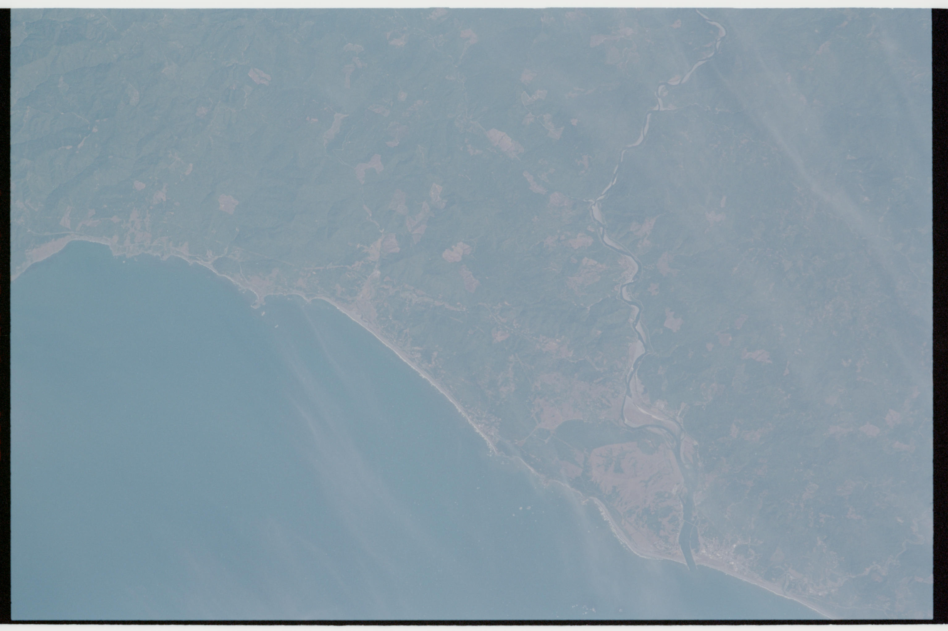
Spacecraft nadir point: 42.0° N, 125.8° W
Photo center point: 42.5° N, 124.0° W
Photo center point by machine learning:
Photo center point: 42.5° N, 124.0° W
Photo center point by machine learning:
Nadir to Photo Center: East
Spacecraft Altitude: 200 nautical miles (370km)
Country or Geographic Name: | USA-OREGON |
Features: | GOLD BEACH AREA |
| Features Found Using Machine Learning: | |
Cloud Cover Percentage: | 10 (1-10)% |
Sun Elevation Angle: | 57° |
Sun Azimuth: | 212° |
Camera: | |
Focal Length: | mm |
Camera Tilt: | 29 degrees |
Format: | |
Film Exposure: | |
| Additional Information | |
| Width | Height | Annotated | Cropped | Purpose | Links |
|---|---|---|---|---|---|
| 3070 pixels | 2044 pixels | No | No | Download Image | |
| 135 pixels | 89 pixels | No | No | Download Image |
Download Packaged File
Download a Google Earth KML for this Image
View photo footprint information
Download a GeoTIFF for this photo
Image Caption: none
