STS102-359-11
| NASA Photo ID | STS102-359-11 |
| Focal Length | mm |
| Date taken | 2001.03.19 |
| Time taken | 14:16:01 GMT |
Resolutions offered for this image:
640 x 426 pixels
640 x 426 pixels
Cloud masks available for this image:
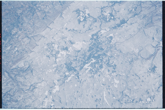
Spacecraft nadir point: 39.6° N, 71.5° W
Photo center point: 41.5° N, 75.5° W
Photo center point by machine learning:
Photo center point: 41.5° N, 75.5° W
Photo center point by machine learning:
Nadir to Photo Center: West
Spacecraft Altitude: 203 nautical miles (376km)
Country or Geographic Name: | USA-PENNSYLVANIA |
Features: | SCRANTON AREA, MOUNTAINS |
| Features Found Using Machine Learning: | |
Cloud Cover Percentage: | 10 (1-10)% |
Sun Elevation Angle: | 36° |
Sun Azimuth: | 128° |
Camera: | |
Focal Length: | mm |
Camera Tilt: | 53 degrees |
Format: | |
Film Exposure: | |
| Additional Information | |
| Width | Height | Annotated | Cropped | Purpose | Links |
|---|---|---|---|---|---|
| 640 pixels | 426 pixels | No | No | Download Image |
Download Packaged File
Download a Google Earth KML for this Image
View photo footprint information
Download a GeoTIFF for this photo
Image Caption: none
