STS102-352-28
| NASA Photo ID | STS102-352-28 |
| Focal Length | mm |
| Date taken | 2001.03.13 |
| Time taken | 04:45:43 GMT |
Resolutions offered for this image:
640 x 426 pixels
640 x 426 pixels
Cloud masks available for this image:
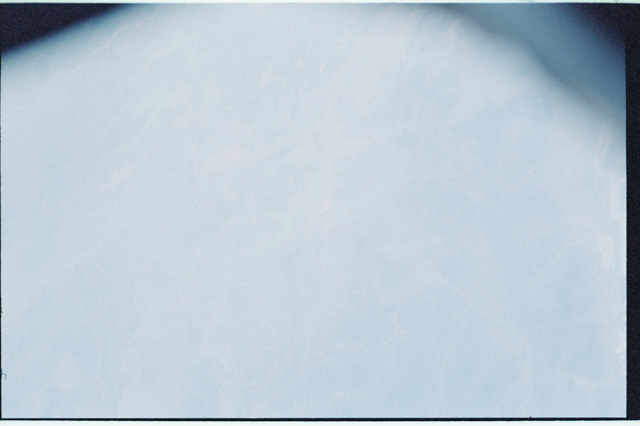
Spacecraft nadir point: 33.1° N, 119.4° E
Photo center point: 31.0° N, 118.0° E
Photo center point by machine learning:
Photo center point: 31.0° N, 118.0° E
Photo center point by machine learning:
Nadir to Photo Center: Southwest
Spacecraft Altitude: 199 nautical miles (369km)
Country or Geographic Name: | CHINA |
Features: | CHANG RIVER, HAZE |
| Features Found Using Machine Learning: | |
Cloud Cover Percentage: | 10 (1-10)% |
Sun Elevation Angle: | 53° |
Sun Azimuth: | 194° |
Camera: | |
Focal Length: | mm |
Camera Tilt: | 37 degrees |
Format: | |
Film Exposure: | |
| Additional Information | |
| Width | Height | Annotated | Cropped | Purpose | Links |
|---|---|---|---|---|---|
| 640 pixels | 426 pixels | No | No | Download Image |
Download Packaged File
Download a Google Earth KML for this Image
View photo footprint information
Download a GeoTIFF for this photo
Image Caption: none
