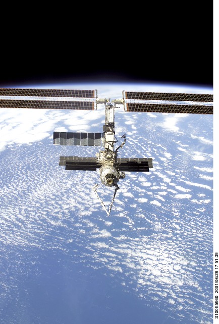
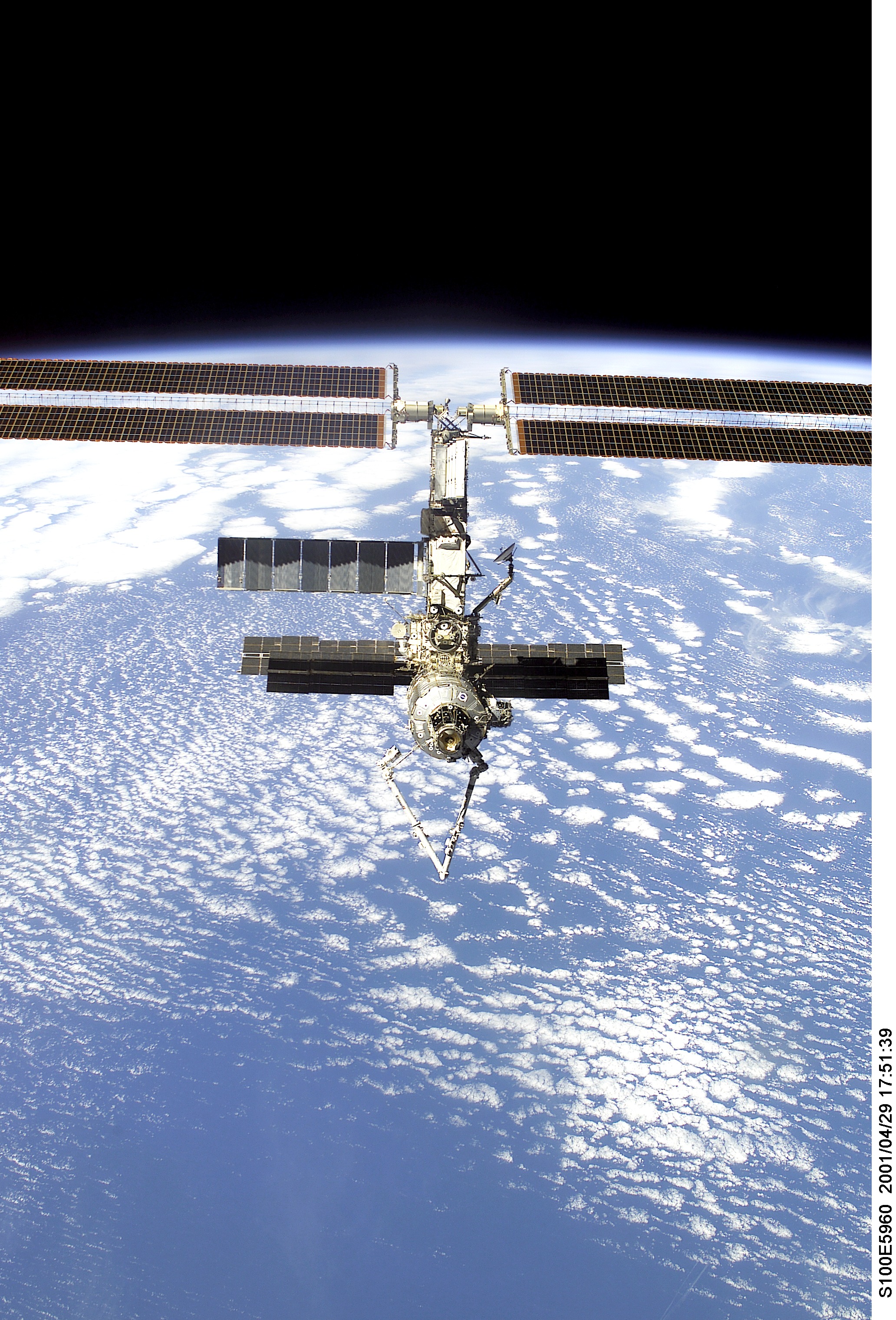
STS100-E-5960
| NASA Photo ID | STS100-E-5960 |
| Focal Length | 35mm |
| Date taken | 2001.04.29 |
| Time taken | 17:51:39 GMT |
Cloud masks available for this image:
Spacecraft nadir point: 34.5° N, 120.0° W
Photo center point:
Photo center point by machine learning:
Photo center point:
Photo center point by machine learning:
Nadir to Photo Center:
Spacecraft Altitude: 206 nautical miles (382km)
Country or Geographic Name: | PACIFIC OCEAN |
Features: | PAN-CLOUDS, ISS |
| Features Found Using Machine Learning: | |
Cloud Cover Percentage: | 75 (51-75)% |
Sun Elevation Angle: | 56° |
Sun Azimuth: | 117° |
Camera: | Kodak DCS660 Electronic Still Camera |
Focal Length: | 35mm |
Camera Tilt: | High Oblique |
Format: | 3060E: 3060 x 2036 pixel CCD, RGBG array |
Film Exposure: | |
| Additional Information | |
| Width | Height | Annotated | Cropped | Purpose | Links |
|---|---|---|---|---|---|
| 2064 pixels | 3040 pixels | No | No | Download Image | |
| 434 pixels | 640 pixels | No | No | Download Image |
Download Packaged File
Download a Google Earth KML for this Image
View photo footprint information
Download a GeoTIFF for this photo
Image Caption: none
