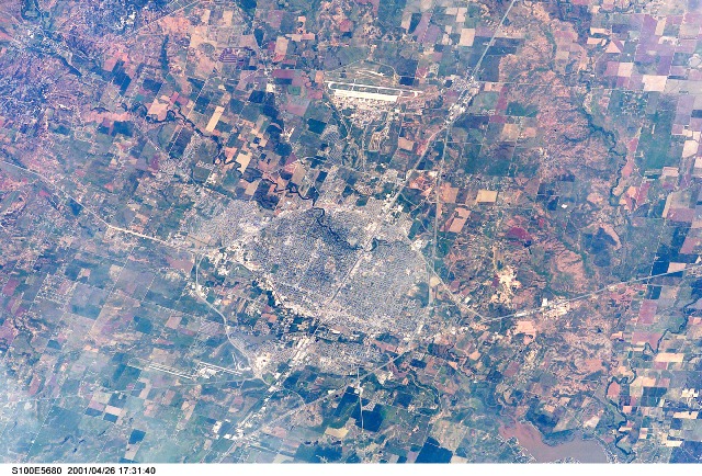
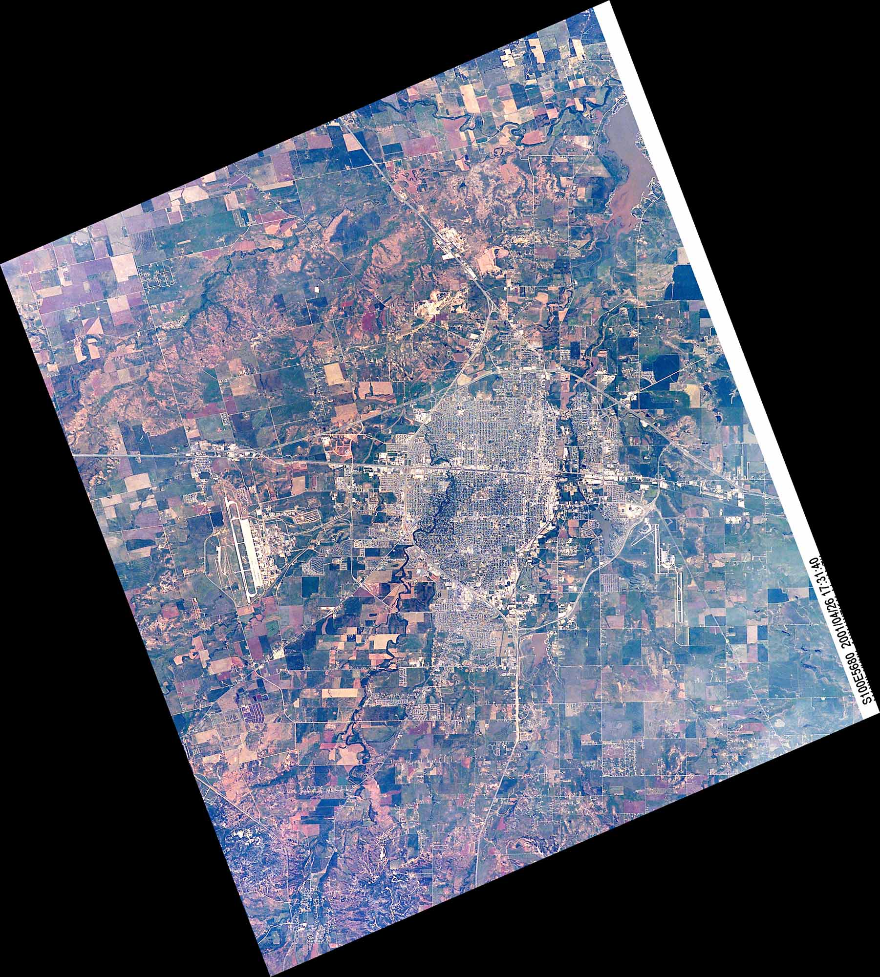
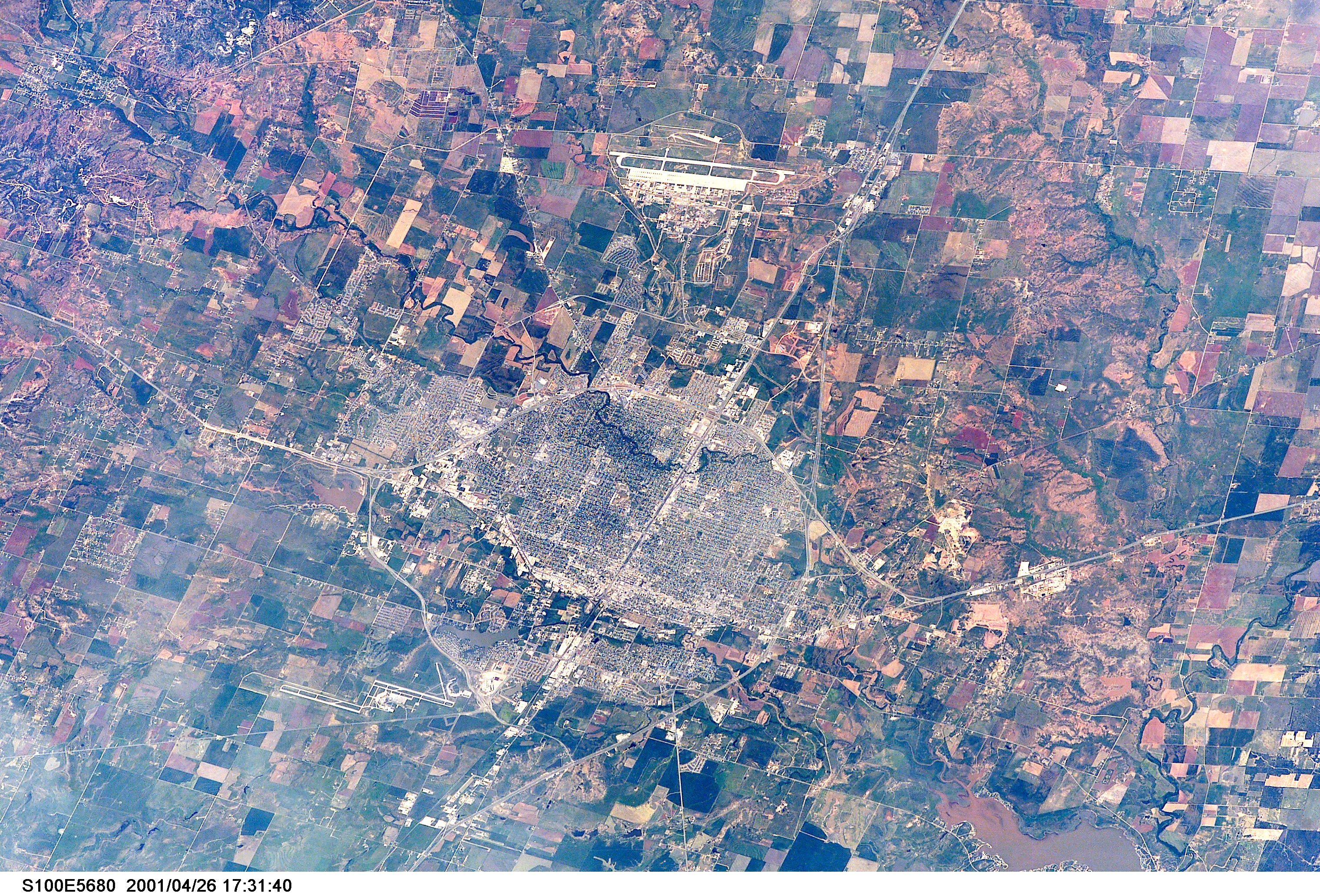
STS100-E-5680
| NASA Photo ID | STS100-E-5680 |
| Focal Length | 400mm |
| Date taken | 2001.04.26 |
| Time taken | 17:31:40 GMT |
Cloud masks available for this image:
Spacecraft nadir point: 30.7° N, 101.8° W
Photo center point: 32.5° N, 100.0° W
Photo center point by machine learning:
Photo center point: 32.5° N, 100.0° W
Photo center point by machine learning:
Nadir to Photo Center: Northeast
Spacecraft Altitude: 204 nautical miles (378km)
Camera: | Kodak DCS660 Electronic Still Camera |
Focal Length: | 400mm |
Camera Tilt: | 37 degrees |
Format: | 3060E: 3060 x 2036 pixel CCD, RGBG array |
Film Exposure: | |
| Additional Information | |
| Width | Height | Annotated | Cropped | Purpose | Links |
|---|---|---|---|---|---|
| 1801 pixels | 2000 pixels | Cities collection | Download Image | ||
| 3040 pixels | 2064 pixels | No | No | Download Image | |
| 640 pixels | 434 pixels | No | No | Download Image |
Download Packaged File
Download a Google Earth KML for this Image
View photo footprint information
Download a GeoTIFF for this photo
Image Caption: none
