STS099-715-77

| NASA Photo ID | STS099-715-77 |
| Focal Length | 250mm |
| Date taken | 2000.02.__ |
| Time taken | GMT |
Resolutions offered for this image:
1031 x 1024 pixels 2063 x 2048 pixels 4127 x 4096 pixels 515 x 512 pixels
1031 x 1024 pixels 2063 x 2048 pixels 4127 x 4096 pixels 515 x 512 pixels

Cloud masks available for this image:
Spacecraft nadir point:
Photo center point: 44.5° N, 145.5° E
Photo center point by machine learning:
Photo center point: 44.5° N, 145.5° E
Photo center point by machine learning:
Nadir to Photo Center:
Spacecraft Altitude: nautical miles (0km)
Camera: | Hasselblad |
Focal Length: | 250mm |
Camera Tilt: | |
Format: | 5069: Kodak Elite 100S, E6 Reversal, Replaces Lumiere, Warmer in tone vs. Lumiere |
Film Exposure: | |
| Additional Information | |
| Width | Height | Annotated | Cropped | Purpose | Links |
|---|---|---|---|---|---|
| 1031 pixels | 1024 pixels | No | No | Download Image | |
| 2063 pixels | 2048 pixels | No | No | Download Image | |
| 4127 pixels | 4096 pixels | No | No | Download Image | |
| 515 pixels | 512 pixels | No | No | Download Image |
Download Packaged File
Download a Google Earth KML for this Image
View photo footprint information
Download a GeoTIFF for this photo
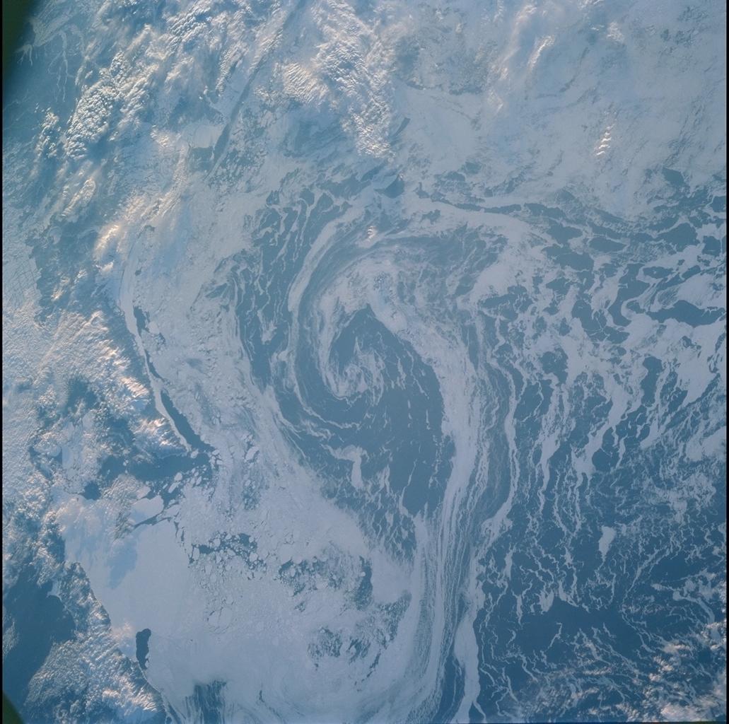
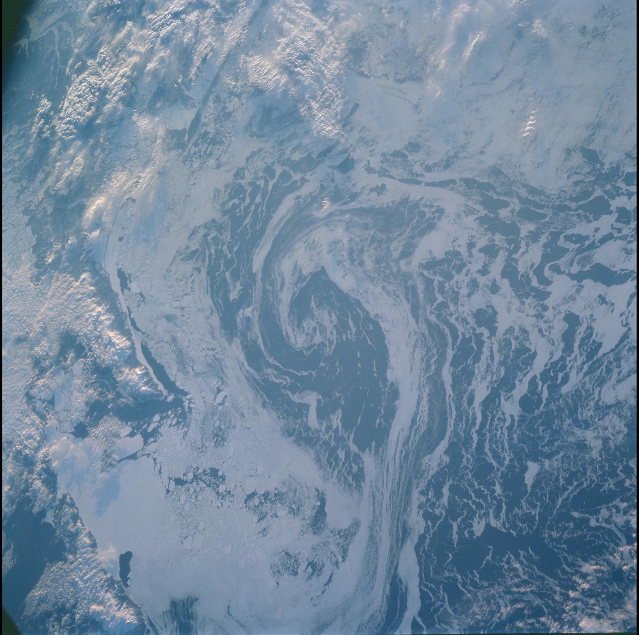
Image Caption: SEA ICE VORTEX
Both topography and bathymetry combine with wind and sea currents to
produce this pattern of sea ice in the extreme southern Sea of Okhotsk.
The rugged shoreline of north Hokkaido and the Kurile Archipelago have
channeled northerly winds and surface waters into a gyre here, clearly
depicted in the pattern of sea ice.
