STS095-709-78
| NASA Photo ID | STS095-709-78 |
| Focal Length | 250mm |
| Date taken | 1998.10.31 |
| Time taken | 20:47:06 GMT |

Cloud masks available for this image:
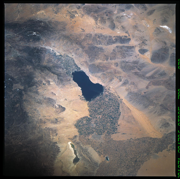
Spacecraft nadir point: 28.6° N, 113.2° W
Photo center point: 33.0° N, 115.5° W
Photo center point by machine learning:
Photo center point: 33.0° N, 115.5° W
Photo center point by machine learning:
Nadir to Photo Center: Northwest
Spacecraft Altitude: 295 nautical miles (546km)
Country or Geographic Name: | USA-CALIFORNIA |
Features: | SALTON SEA, AGRICULTURE |
| Features Found Using Machine Learning: | |
Cloud Cover Percentage: | 0 (no clouds present) |
Sun Elevation Angle: | 42° |
Sun Azimuth: | 210° |
Camera: | Hasselblad |
Focal Length: | 250mm |
Camera Tilt: | 45 degrees |
Format: | 5069: Kodak Elite 100S, E6 Reversal, Replaces Lumiere, Warmer in tone vs. Lumiere |
Film Exposure: | Normal |
| Additional Information | |
| Width | Height | Annotated | Cropped | Purpose | Links |
|---|---|---|---|---|---|
| 7272 pixels | 7227 pixels | No | No | Scientist Request | Download Image |
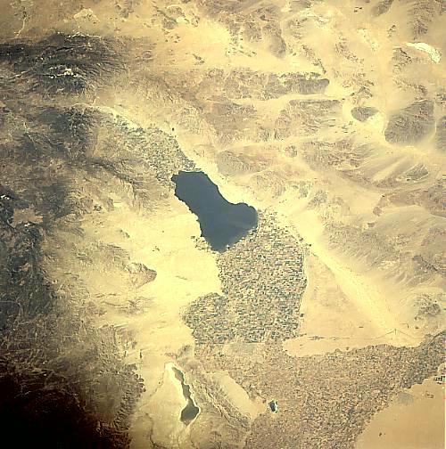
| 768 pixels | 763 pixels | No | No | Download Image | |
| 500 pixels | 504 pixels | No | No | Download Image |
Download Packaged File
Download a Google Earth KML for this Image
View photo footprint information
Download a GeoTIFF for this photo
Image Caption: none
