STS094-753-46
| NASA Photo ID | STS094-753-46 |
| Focal Length | 250mm |
| Date taken | 1997.07.12 |
| Time taken | 13:07:21 GMT |
Resolutions offered for this image:
4000 x 4000 pixels 639 x 639 pixels 510 x 511 pixels 480 x 479 pixels
4000 x 4000 pixels 639 x 639 pixels 510 x 511 pixels 480 x 479 pixels
Cloud masks available for this image:
Spacecraft nadir point: 28.6° N, 94.3° W
Photo center point: 29.5° N, 95.5° W
Photo center point by machine learning:
Photo center point: 29.5° N, 95.5° W
Photo center point by machine learning:
Nadir to Photo Center: Northwest
Spacecraft Altitude: 157 nautical miles (291km)
Country or Geographic Name: | USA-TEXAS |
Features: | HOUSTON |
| Features Found Using Machine Learning: | |
Cloud Cover Percentage: | 5 (1-10)% |
Sun Elevation Angle: | 20° |
Sun Azimuth: | 75° |
Camera: | Hasselblad |
Focal Length: | 250mm |
Camera Tilt: | 30 degrees |
Format: | 5069: Kodak Elite 100S, E6 Reversal, Replaces Lumiere, Warmer in tone vs. Lumiere |
Film Exposure: | Normal |
| Additional Information | |
| Width | Height | Annotated | Cropped | Purpose | Links |
|---|---|---|---|---|---|
| 4000 pixels | 4000 pixels | No | No | Earth From Space collection | Download Image |
| 639 pixels | 639 pixels | No | No | Earth From Space collection | Download Image |
| 510 pixels | 511 pixels | No | No | Download Image | |
| 480 pixels | 479 pixels | Download Image |
Download Packaged File
Download a Google Earth KML for this Image
View photo footprint information
Download a GeoTIFF for this photo
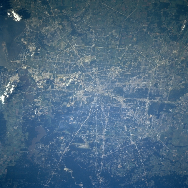
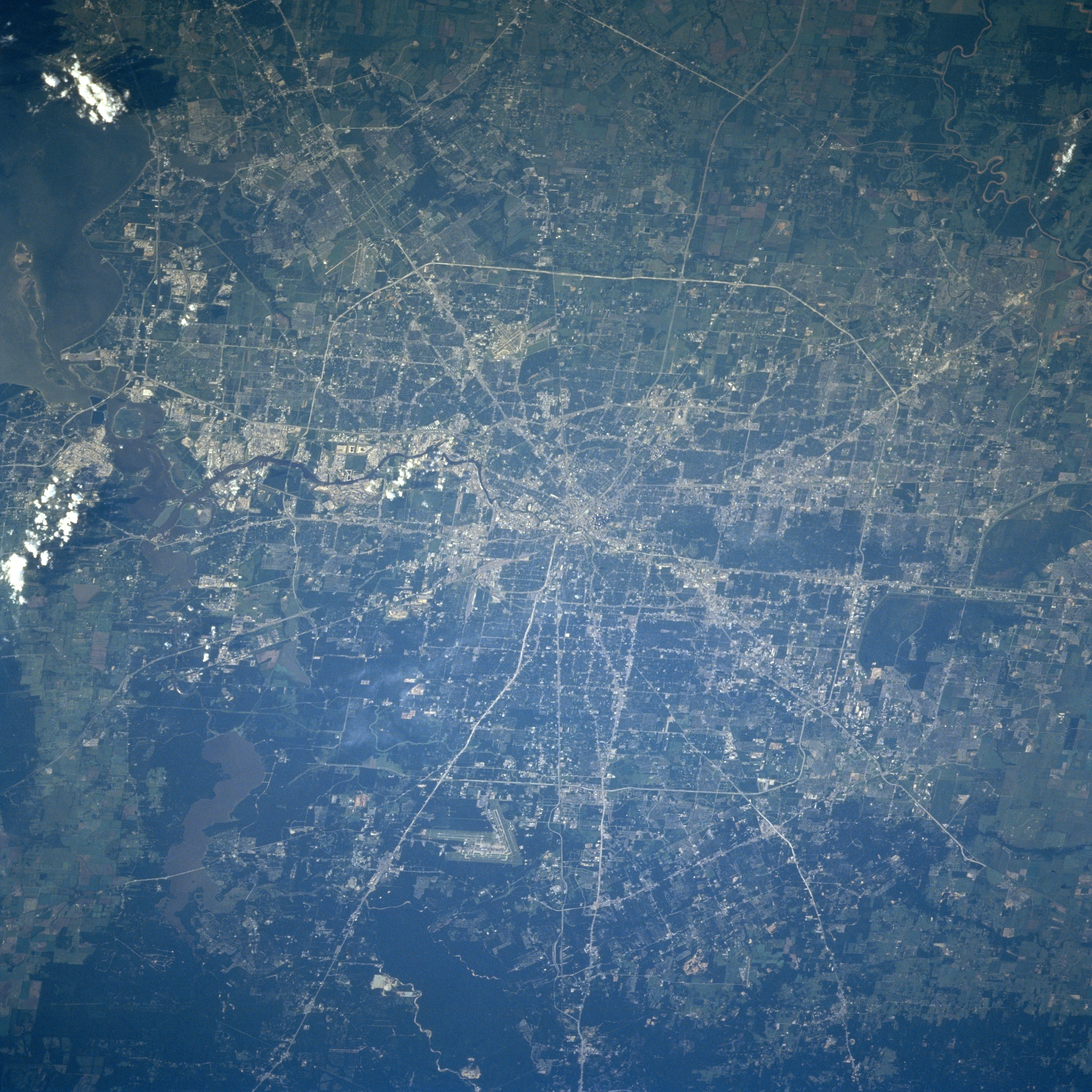
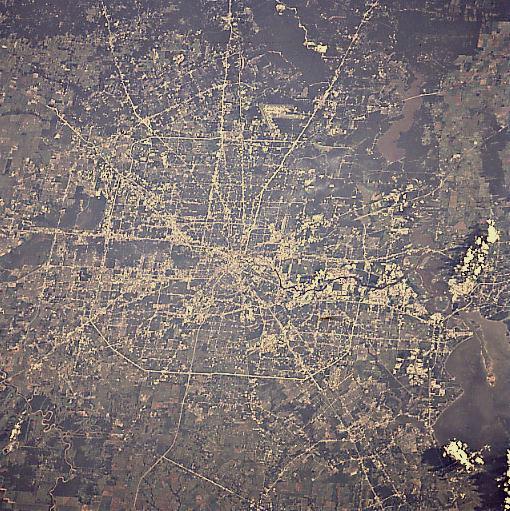
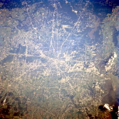
Image Caption: STS094-753-046 Houston, Texas July 1997
The city of Houston is the fourth largest city in the United States. Houston is a port of entry and has the second busiest port in the United States. The city is a major financial, commercial, manufacturing, and transportation center in the southwestern United States. Houston boasts one of the worlds most comprehensive and competent medical centers. The city is located on a delta that was formed during the end of the last ice age some 10000-15000 years ago. Numerous Interstate Highways and other major transportation routes are visible traversing through and around the city. The runways of the George Bush Intercontinental Airport are discernible midway between the center and the bottom center of the image. Just to the left (east) of the airport, the sediment-laden waters of Lake Houston can be seen. A small part of upper Galveston Bay is visible in the upper left corner of the image.
The city of Houston is the fourth largest city in the United States. Houston is a port of entry and has the second busiest port in the United States. The city is a major financial, commercial, manufacturing, and transportation center in the southwestern United States. Houston boasts one of the worlds most comprehensive and competent medical centers. The city is located on a delta that was formed during the end of the last ice age some 10000-15000 years ago. Numerous Interstate Highways and other major transportation routes are visible traversing through and around the city. The runways of the George Bush Intercontinental Airport are discernible midway between the center and the bottom center of the image. Just to the left (east) of the airport, the sediment-laden waters of Lake Houston can be seen. A small part of upper Galveston Bay is visible in the upper left corner of the image.
