STS092-713-33

| NASA Photo ID | STS092-713-33 |
| Focal Length | 250mm |
| Date taken | 2000.10.21 |
| Time taken | 21:40:12 GMT |
Resolutions offered for this image:
1035 x 1024 pixels 2071 x 2048 pixels 4143 x 4096 pixels 517 x 512 pixels 400 x 396 pixels
1035 x 1024 pixels 2071 x 2048 pixels 4143 x 4096 pixels 517 x 512 pixels 400 x 396 pixels


Cloud masks available for this image:
Spacecraft nadir point: 44.8° S, 167.5° E
Photo center point: 46.5° S, 168.0° E
Photo center point by machine learning:
Photo center point: 46.5° S, 168.0° E
Photo center point by machine learning:
Nadir to Photo Center: South
Spacecraft Altitude: 211 nautical miles (391km)
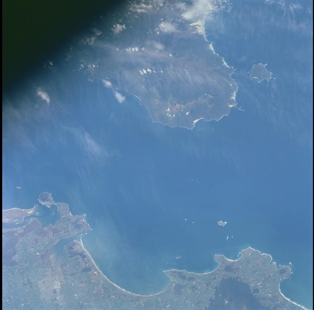
Country or Geographic Name: | NEW ZEALAND-SI |
Features: | FOVEAUX STRAIT |
| Features Found Using Machine Learning: | |
Cloud Cover Percentage: | 10 (1-10)% |
Sun Elevation Angle: | 40° |
Sun Azimuth: | 62° |
Camera: | Hasselblad |
Focal Length: | 250mm |
Camera Tilt: | 27 degrees |
Format: | 5069: Kodak Elite 100S, E6 Reversal, Replaces Lumiere, Warmer in tone vs. Lumiere |
Film Exposure: | |
| Additional Information | |
| Width | Height | Annotated | Cropped | Purpose | Links |
|---|---|---|---|---|---|
| 1035 pixels | 1024 pixels | No | No | Download Image | |
| 2071 pixels | 2048 pixels | No | No | Download Image | |
| 4143 pixels | 4096 pixels | No | No | Download Image | |
| 517 pixels | 512 pixels | No | No | Download Image | |
| 400 pixels | 396 pixels | No | No | Photographic Highlights | Download Image |
Download Packaged File
Download a Google Earth KML for this Image
View photo footprint information
Download a GeoTIFF for this photo
Image Caption: Amber sunglint over the Great Lakes
A large, slow-moving area of high pressure was centered over the
province of Quebec on October 21, 2000. This scene with sun glint
illuminates almost all water-bodies in the region from the upper St.
Lawrence River through the lower Great Lakes of Ontario and Erie. The
coppery tint of the reflections is indicative of atmospheric aerosols.
Particularly noticeable is the color change over Lake Erie as a light,
southeasterly airflow near the surface advects smog from the upper Ohio
Valley and the eastern U.S.
