STS092-324-35
| NASA Photo ID | STS092-324-35 |
| Focal Length | mm |
| Date taken | 2000.10.23 |
| Time taken | 18:44:25 GMT |
Cloud masks available for this image:
Spacecraft nadir point: 41.3° N, 64.5° W
Photo center point: 42.5° N, 72.0° W
Photo center point by machine learning:
Photo center point: 42.5° N, 72.0° W
Photo center point by machine learning:
Nadir to Photo Center: West
Spacecraft Altitude: 202 nautical miles (374km)
Country or Geographic Name: | USA-MASSACHUSETTS |
Features: | PAN-CAPE COD, COAST |
| Features Found Using Machine Learning: | |
Cloud Cover Percentage: | 25 (11-25)% |
Sun Elevation Angle: | 25° |
Sun Azimuth: | 225° |
Camera: | Nikon 35mm film camera |
Focal Length: | mm |
Camera Tilt: | High Oblique |
Format: | 5069: Kodak Elite 100S, E6 Reversal, Replaces Lumiere, Warmer in tone vs. Lumiere |
Film Exposure: | |
| Additional Information | |
| Width | Height | Annotated | Cropped | Purpose | Links |
|---|---|---|---|---|---|
| 3070 pixels | 2044 pixels | No | No | Download Image | |
| 400 pixels | 266 pixels | No | No | Photographic Highlights | Download Image |
Download Packaged File
Download a Google Earth KML for this Image
View photo footprint information
Download a GeoTIFF for this photo
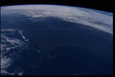
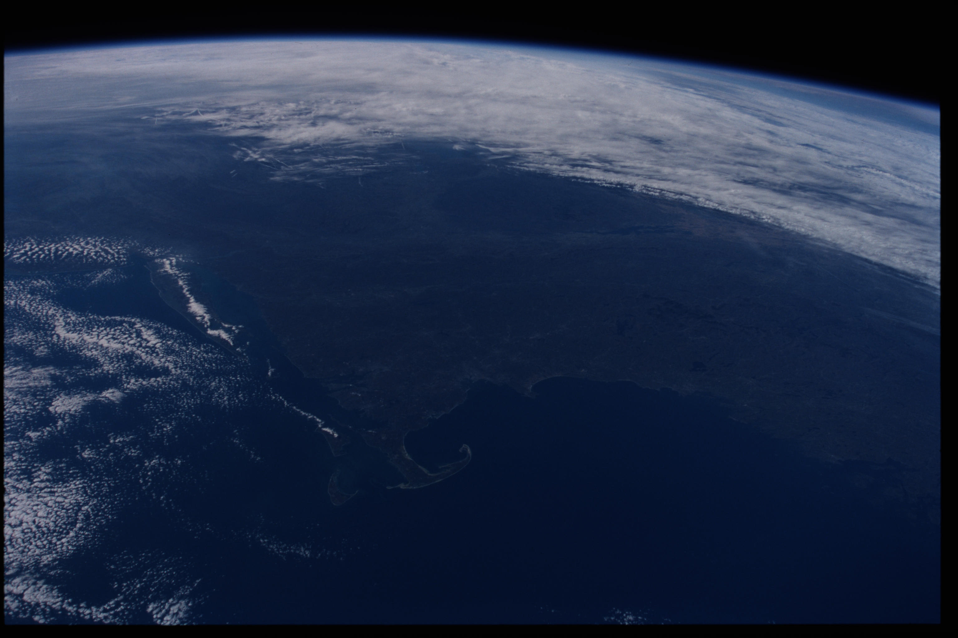
Image Caption: New England synoptic view, with Cape Cod
The hook of Cape Cod lies in the center foreground of this photograph
that includes Long Island with a spine of cloud left of center
(obscuring New York and neighboring cities), and Lake Champlain in
northern New York state (upper right). At the head of Massachusetts Bay,
the large bay immediately north (to the right) of Cape Cod, the city of
Boston is the largest of several small gray areas near the coast. The
light-colored Champlain-Hudson River line cuts across the middle of the
view from left to right, dividing the dark fall colors of the forested
hills of New England in the foreground from those of the Adirondacks and
Catskills in New York state (top right). The Mohawk Gap (top center)
joins the Hudson valley just south of Lake Champlain and the curved
parallel lines of the Appalachian Mts. appear top left.
