STS092-316-27
| NASA Photo ID | STS092-316-27 |
| Focal Length | mm |
| Date taken | 2000.10.24 |
| Time taken | 17:37:23 GMT |
Cloud masks available for this image:
Spacecraft nadir point: 14.8° N, 85.3° W
Photo center point: 11.5° N, 85.5° W
Photo center point by machine learning:
Photo center point: 11.5° N, 85.5° W
Photo center point by machine learning:
Nadir to Photo Center: South
Spacecraft Altitude: 205 nautical miles (380km)
Country or Geographic Name: | NICARAGUA |
Features: | OMETEPE ISLAND, SUNGLINT |
| Features Found Using Machine Learning: | |
Cloud Cover Percentage: | 10 (1-10)% |
Sun Elevation Angle: | 63° |
Sun Azimuth: | 187° |
Camera: | Nikon 35mm film camera |
Focal Length: | mm |
Camera Tilt: | 44 degrees |
Format: | 5069: Kodak Elite 100S, E6 Reversal, Replaces Lumiere, Warmer in tone vs. Lumiere |
Film Exposure: | |
| Additional Information | |
| Width | Height | Annotated | Cropped | Purpose | Links |
|---|---|---|---|---|---|
| 3070 pixels | 2044 pixels | No | No | Download Image | |
| 400 pixels | 266 pixels | No | No | Photographic Highlights | Download Image |
Download Packaged File
Download a Google Earth KML for this Image
View photo footprint information
Download a GeoTIFF for this photo
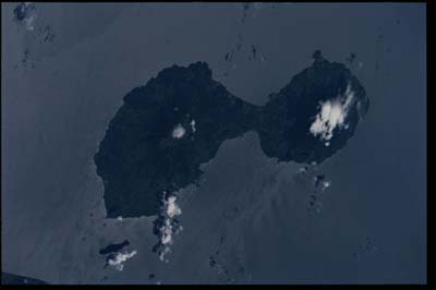
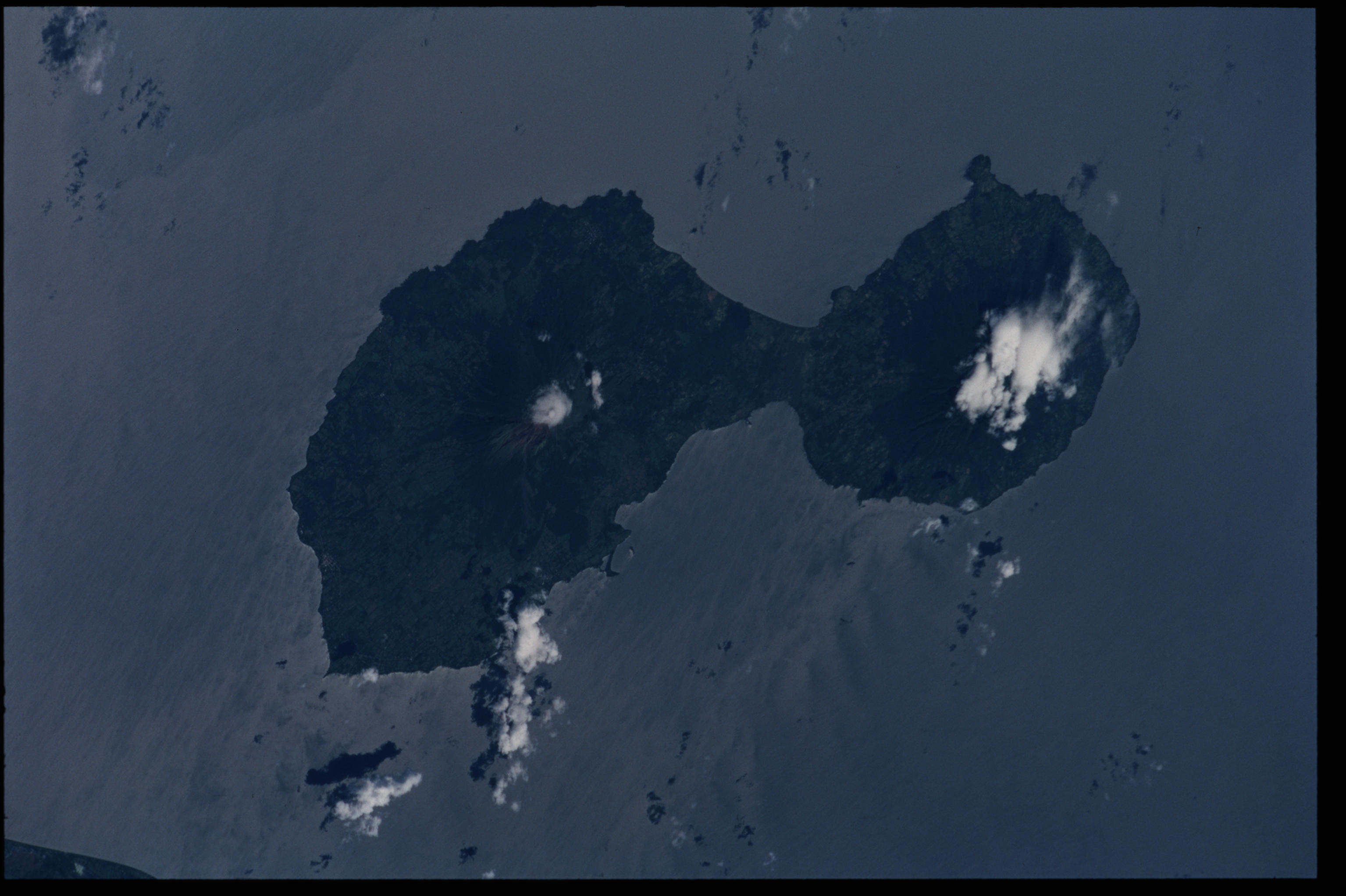
Image Caption: Ometepe Island, Lake Nicaragua, Nicaragua
Ometepe Island is the largest island in the largest lake (Lake
Nicaragua) in Central America. The island is composed of two volcanoes,
Concepcion and La Madera, joined together by a narrow isthmus 3 km (2
mi) wide. Concepcion volcano on the northwest part of the island is
1610m (5282 ft) high and has erupted at least 24 times since 1883. The
last major eruption was in 1986. La Madera is the smaller volcano
located on the southeast part of the island. This volcano has not
erupted in the last 10000 years and is covered by a dense rainforest.
Ometepe Island is about 8 km (5 miles) from the mainland and has an
estimated population of 9000.
