STS091-719-59
| NASA Photo ID | STS091-719-59 |
| Focal Length | 250mm |
| Date taken | 1998.06.12 |
| Time taken | 10:14:10 GMT |
Resolutions offered for this image:
1287 x 1278 pixels 3989 x 4014 pixels 636 x 639 pixels 1287 x 1278 pixels 631 x 632 pixels
1287 x 1278 pixels 3989 x 4014 pixels 636 x 639 pixels 1287 x 1278 pixels 631 x 632 pixels

Cloud masks available for this image:
Spacecraft nadir point: 37.1° N, 53.1° E
Photo center point: 35.5° N, 51.5° E
Photo center point by machine learning:
Photo center point: 35.5° N, 51.5° E
Photo center point by machine learning:
Nadir to Photo Center: Southwest
Spacecraft Altitude: 186 nautical miles (344km)
Camera: | Hasselblad |
Focal Length: | 250mm |
Camera Tilt: | 36 degrees |
Format: | 5069: Kodak Elite 100S, E6 Reversal, Replaces Lumiere, Warmer in tone vs. Lumiere |
Film Exposure: | Normal |
| Additional Information | |
| Width | Height | Annotated | Cropped | Purpose | Links |
|---|---|---|---|---|---|
| 1287 pixels | 1278 pixels | No | No | Cities collection | Download Image |
| 3989 pixels | 4014 pixels | No | No | Earth From Space collection | Download Image |
| 636 pixels | 639 pixels | No | No | Earth From Space collection | Download Image |
| 1287 pixels | 1278 pixels | No | No | Download Image | |
| 631 pixels | 632 pixels | No | No | Download Image |
Download Packaged File
Download a Google Earth KML for this Image
View photo footprint information
Download a GeoTIFF for this photo
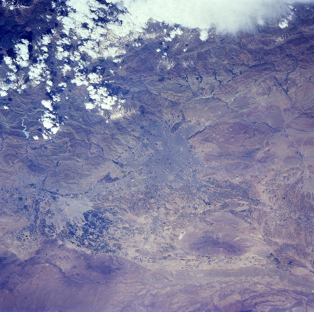
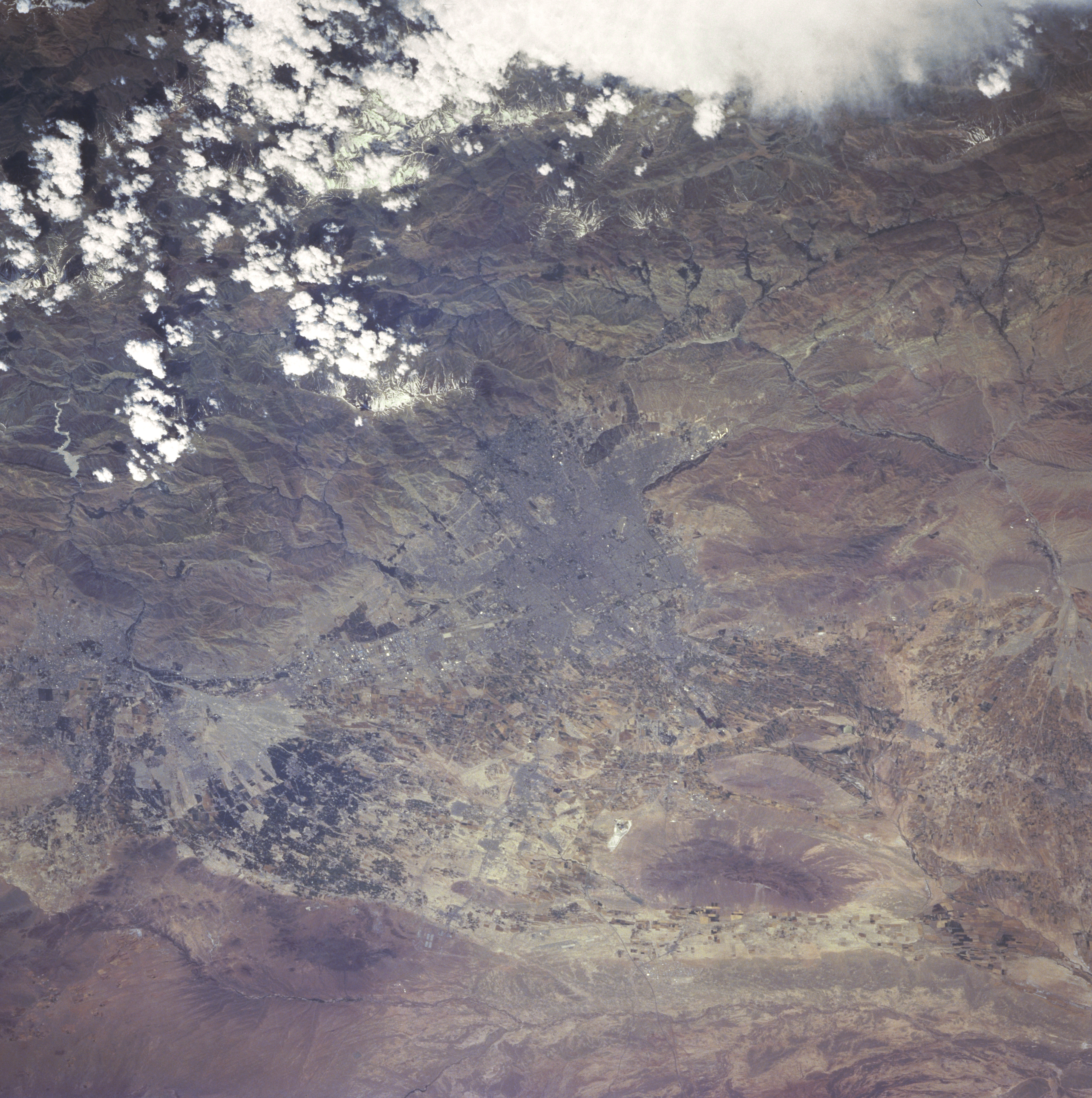
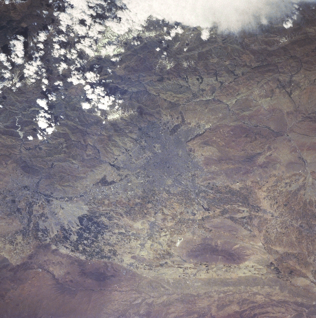
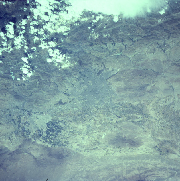
Image Caption: STS091-719-059 Tehran Area, Iran June 1998
The physical setting for the Iranian capital and largest city, Tehran (darker landscape center of image), consists of mountains north of the large urban area and a few scattered hills on the relatively flat plains south of the city. Tehran with an estimated population of 10 million people is geographically located in north central Iran along the southern slopes of the Elburz Mountains (bottom quarter of image with some cloud cover). Recognized as Iran's economic and industrial core area, the region around Tehran experiences four seasonal regimes but the overall climate is semiarid. Precipitation amounts decrease from north to south and general ephemeral stream drainage is towards the south away from the higher elevations of the Elburz Mountains.
The physical setting for the Iranian capital and largest city, Tehran (darker landscape center of image), consists of mountains north of the large urban area and a few scattered hills on the relatively flat plains south of the city. Tehran with an estimated population of 10 million people is geographically located in north central Iran along the southern slopes of the Elburz Mountains (bottom quarter of image with some cloud cover). Recognized as Iran's economic and industrial core area, the region around Tehran experiences four seasonal regimes but the overall climate is semiarid. Precipitation amounts decrease from north to south and general ephemeral stream drainage is towards the south away from the higher elevations of the Elburz Mountains.
