STS091-713-24
| NASA Photo ID | STS091-713-24 |
| Focal Length | 250mm |
| Date taken | 1998.06.__ |
| Time taken | GMT |
Resolutions offered for this image:
4042 x 4042 pixels 640 x 640 pixels 2160 x 2020 pixels 640 x 598 pixels
4042 x 4042 pixels 640 x 640 pixels 2160 x 2020 pixels 640 x 598 pixels
Cloud masks available for this image:
Spacecraft nadir point:
Photo center point: 18.5° N, 93.0° W
Photo center point by machine learning:
Photo center point: 18.5° N, 93.0° W
Photo center point by machine learning:
Nadir to Photo Center:
Spacecraft Altitude: nautical miles (0km)
Country or Geographic Name: | MEXICO |
Features: | POINT FRONTERA, SMOKE |
| Features Found Using Machine Learning: | |
Cloud Cover Percentage: | 5 (1-10)% |
Sun Elevation Angle: | ° |
Sun Azimuth: | ° |
Camera: | Hasselblad |
Focal Length: | 250mm |
Camera Tilt: | Low Oblique |
Format: | 5069: Kodak Elite 100S, E6 Reversal, Replaces Lumiere, Warmer in tone vs. Lumiere |
Film Exposure: | Normal |
| Additional Information | |
| Width | Height | Annotated | Cropped | Purpose | Links |
|---|---|---|---|---|---|
| 4042 pixels | 4042 pixels | No | No | Earth From Space collection | Download Image |
| 640 pixels | 640 pixels | No | No | Earth From Space collection | Download Image |
| 2160 pixels | 2020 pixels | Download Image | |||
| 640 pixels | 598 pixels | Download Image |
Download Packaged File
Download a Google Earth KML for this Image
View photo footprint information
Download a GeoTIFF for this photo
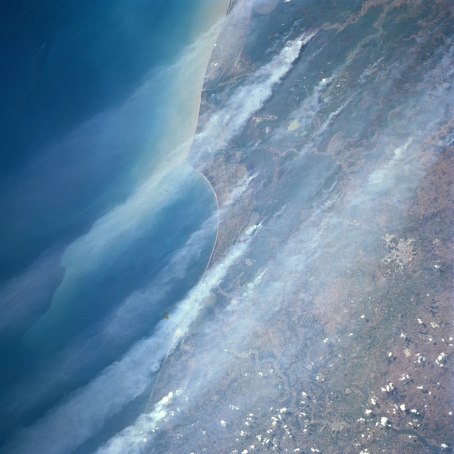
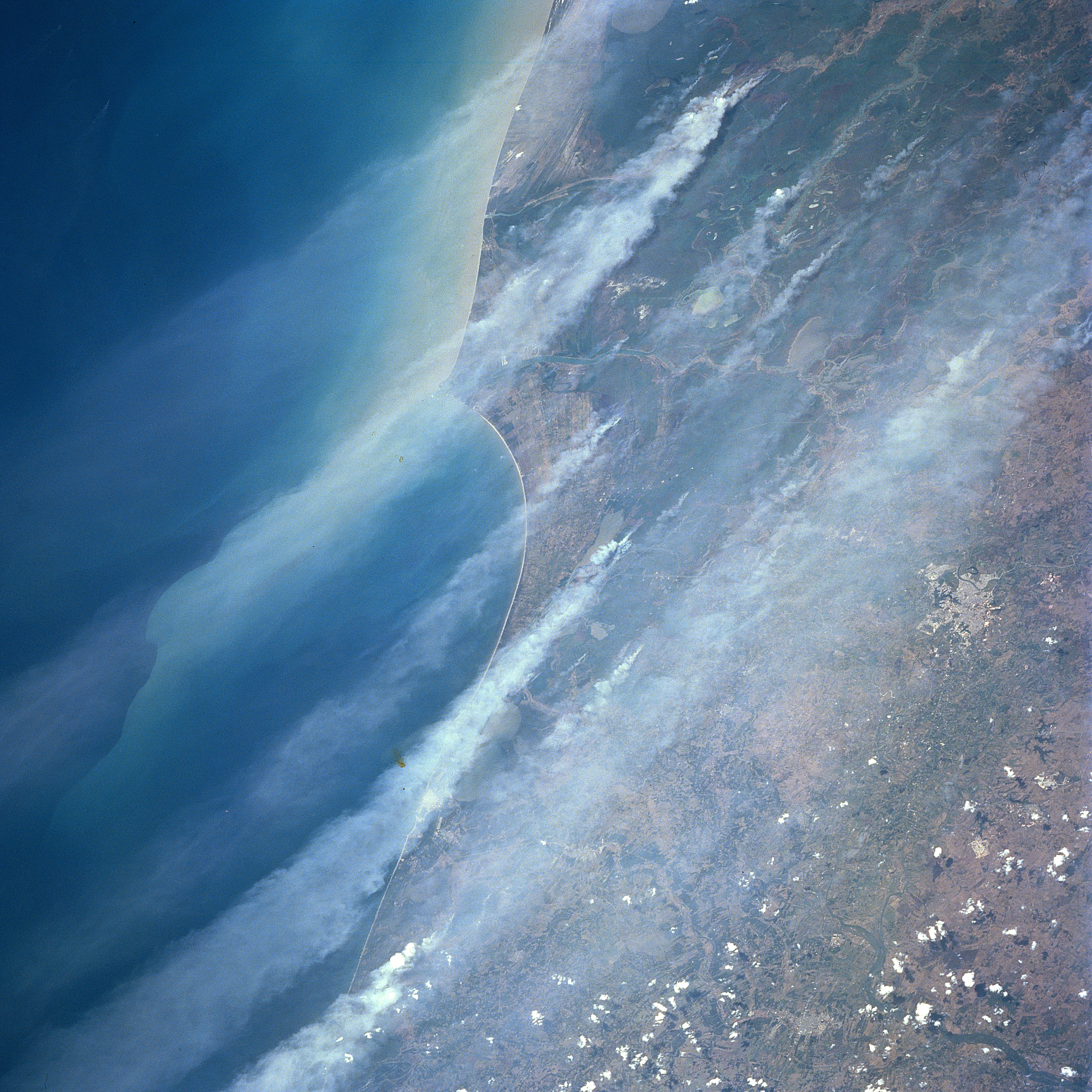
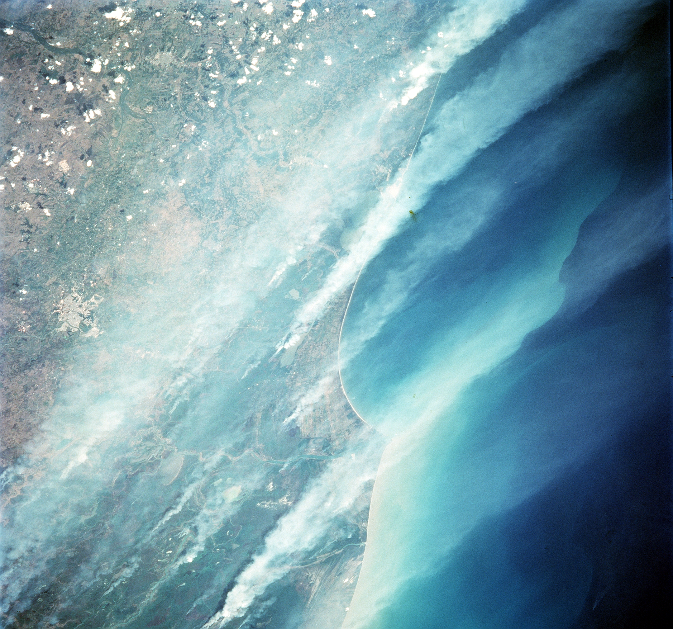
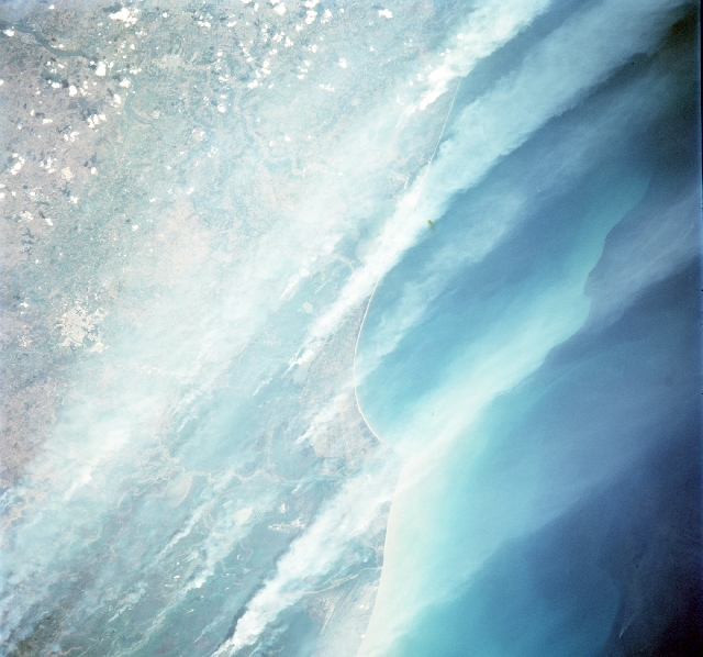
Image Caption: STS091-713-024 Smoke, Isthmus of Tehuantepec June 1998
The north coast of the Isthmus of Tehuantepec is visible through the veil of smoke that was caused by burning brush to clear land for agriculture in southern Mexico. Identifiable features include the city of Villahermosa (cluster of reflective surface area near the middle right edge of image); several river channels that flow across this low lying swampy coastal plain; and Point Frontera, which is the pointed-looking delta that juts northward into the Bay of Campeche (Refer to STS91-701-074 for another picture of smoke/fires that are burning along the south coast of the Isthmus of Tehuantepec).
The north coast of the Isthmus of Tehuantepec is visible through the veil of smoke that was caused by burning brush to clear land for agriculture in southern Mexico. Identifiable features include the city of Villahermosa (cluster of reflective surface area near the middle right edge of image); several river channels that flow across this low lying swampy coastal plain; and Point Frontera, which is the pointed-looking delta that juts northward into the Bay of Campeche (Refer to STS91-701-074 for another picture of smoke/fires that are burning along the south coast of the Isthmus of Tehuantepec).
