STS091-703-84

| NASA Photo ID | STS091-703-84 |
| Focal Length | 250mm |
| Date taken | 1998.06.07 |
| Time taken | 10:43:54 GMT |
Cloud masks available for this image:
Spacecraft nadir point: 33.4° N, 70.6° E
Photo center point: 34.0° N, 69.0° E
Photo center point by machine learning:
Photo center point: 34.0° N, 69.0° E
Photo center point by machine learning:
Nadir to Photo Center: West
Spacecraft Altitude: 197 nautical miles (365km)
Country or Geographic Name: | AFGHANISTAN |
Features: | VALLEY, MAKRAN RA., KABUL |
| Features Found Using Machine Learning: | |
Cloud Cover Percentage: | 5 (1-10)% |
Sun Elevation Angle: | 44° |
Sun Azimuth: | 271° |
Camera: | Hasselblad |
Focal Length: | 250mm |
Camera Tilt: | 28 degrees |
Format: | 5069: Kodak Elite 100S, E6 Reversal, Replaces Lumiere, Warmer in tone vs. Lumiere |
Film Exposure: | Normal |
| Additional Information | |
| Width | Height | Annotated | Cropped | Purpose | Links |
|---|---|---|---|---|---|
| 4078 pixels | 4066 pixels | No | No | Earth From Space collection | Download Image |
| 639 pixels | 638 pixels | No | No | Earth From Space collection | Download Image |
| 648 pixels | 624 pixels | No | No | Download Image |
Download Packaged File
Download a Google Earth KML for this Image
View photo footprint information
Download a GeoTIFF for this photo
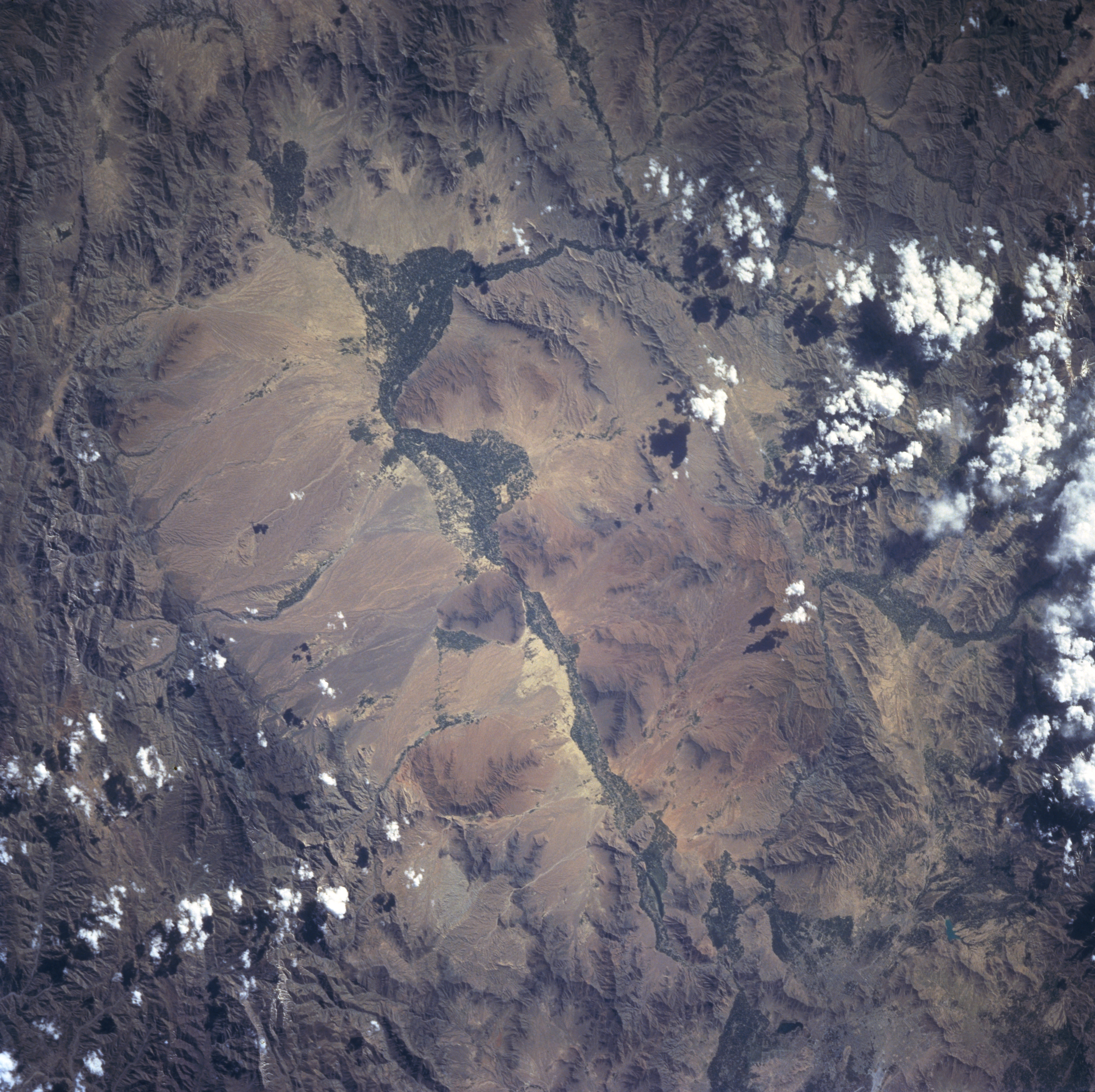
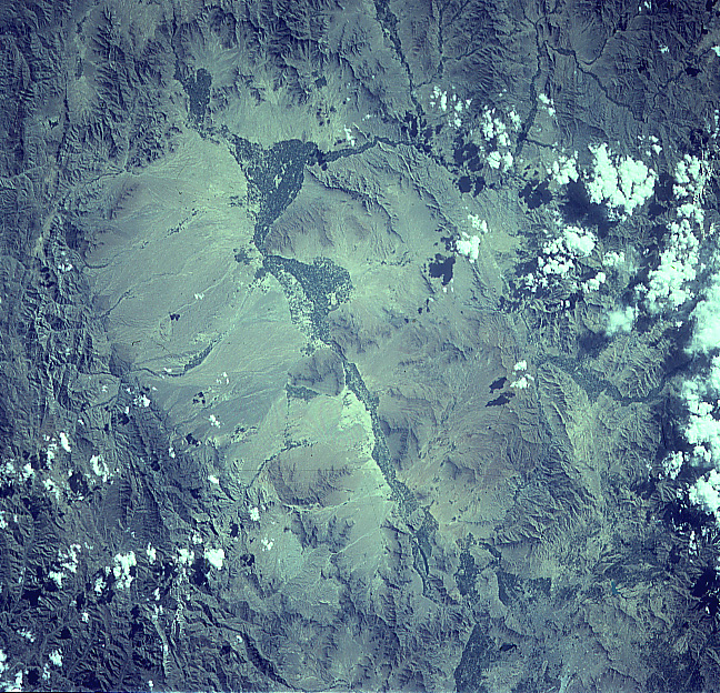
Image Caption: STS091-703-084 Lowgar River Valley, Afghanistan June 1998
The Lowgar River Valley, visible as a dark corridor (aligned northeast-southwest) of varying widths, runs diagonally through the center of the image. The Lowgar River eventually merges with the easterly draining Kabul River just to the east of Kabul, the capital and largest city in Afghanistan. The city of Kabul (partially visible near upper right corner) is difficult to discern because the construction materials used to build the city blends in with the natural landscape. The dark corridor along the banks of the Lowgar River is the result of irrigated agricultural fields. Only 12 percent of the total land area in Afghanistan is considered arable land. Most of the mountain valleys are arid with most precipitation falling on the higher, mountainous elevations in the form of snow. Runoff from the mountains does provide some moisture for agriculture. The average elevation of the valleys around Kabul is 5900 feet (180 meters) above sea level, while many mountains peaks surrounding Kabul exceed 14000 feet (4270 meters).
The Lowgar River Valley, visible as a dark corridor (aligned northeast-southwest) of varying widths, runs diagonally through the center of the image. The Lowgar River eventually merges with the easterly draining Kabul River just to the east of Kabul, the capital and largest city in Afghanistan. The city of Kabul (partially visible near upper right corner) is difficult to discern because the construction materials used to build the city blends in with the natural landscape. The dark corridor along the banks of the Lowgar River is the result of irrigated agricultural fields. Only 12 percent of the total land area in Afghanistan is considered arable land. Most of the mountain valleys are arid with most precipitation falling on the higher, mountainous elevations in the form of snow. Runoff from the mountains does provide some moisture for agriculture. The average elevation of the valleys around Kabul is 5900 feet (180 meters) above sea level, while many mountains peaks surrounding Kabul exceed 14000 feet (4270 meters).
