STS090-E-5091
| NASA Photo ID | STS090-E-5091 |
| Focal Length | 400mm |
| Date taken | 1998.04.22 |
| Time taken | 21:18:31 GMT |

Cloud masks available for this image:
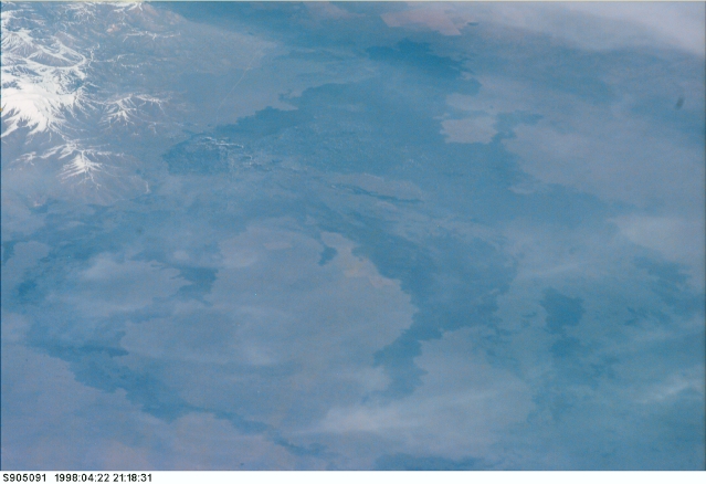
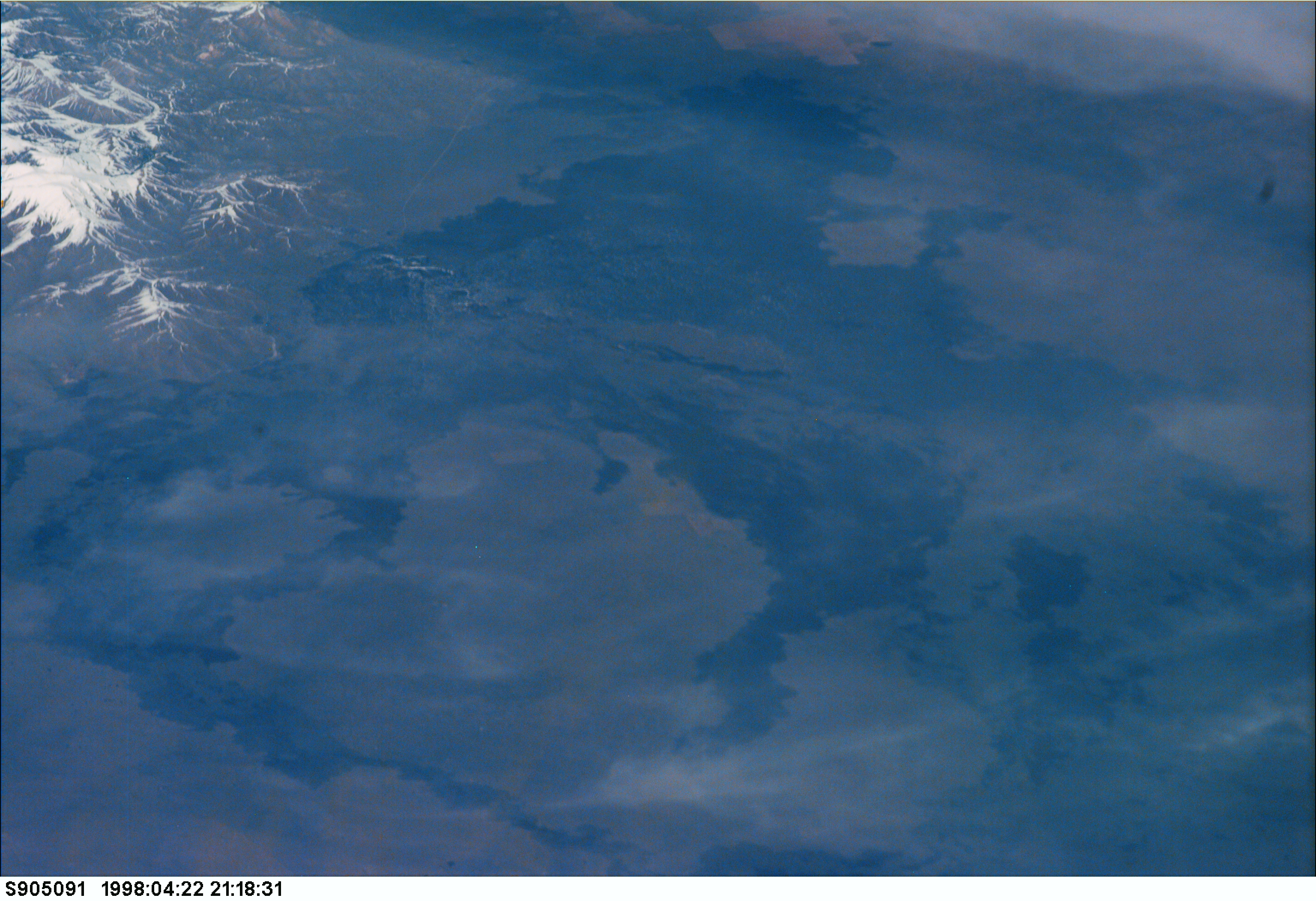
Spacecraft nadir point: 38.4° N, 102.2° W
Photo center point: 36.5° N, 105.0° W
Photo center point by machine learning:
Photo center point: 36.5° N, 105.0° W
Photo center point by machine learning:
Nadir to Photo Center: Southwest
Spacecraft Altitude: 136 nautical miles (252km)
Country or Geographic Name: | USA-NEW MEXICO |
Features: | ROCKY MTS., LAVA FLOWS |
| Features Found Using Machine Learning: | |
Cloud Cover Percentage: | 10 (1-10)% |
Sun Elevation Angle: | 48° |
Sun Azimuth: | 243° |
Camera: | Kodak DCS460 Electronic Still Camera |
Focal Length: | 400mm |
Camera Tilt: | High Oblique |
Format: | 3060E: 3060 x 2036 pixel CCD, RGBG array |
Film Exposure: | |
| Additional Information | |
| Width | Height | Annotated | Cropped | Purpose | Links |
|---|---|---|---|---|---|
| 3072 pixels | 2104 pixels | No | No | Download Image | |
| 639 pixels | 438 pixels | No | No | Download Image | |
| 149 pixels | 102 pixels | No | No | Download Image |
Download Packaged File
Download a Google Earth KML for this Image
View photo footprint information
Download a GeoTIFF for this photo
Image Caption: none
