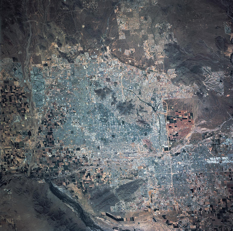
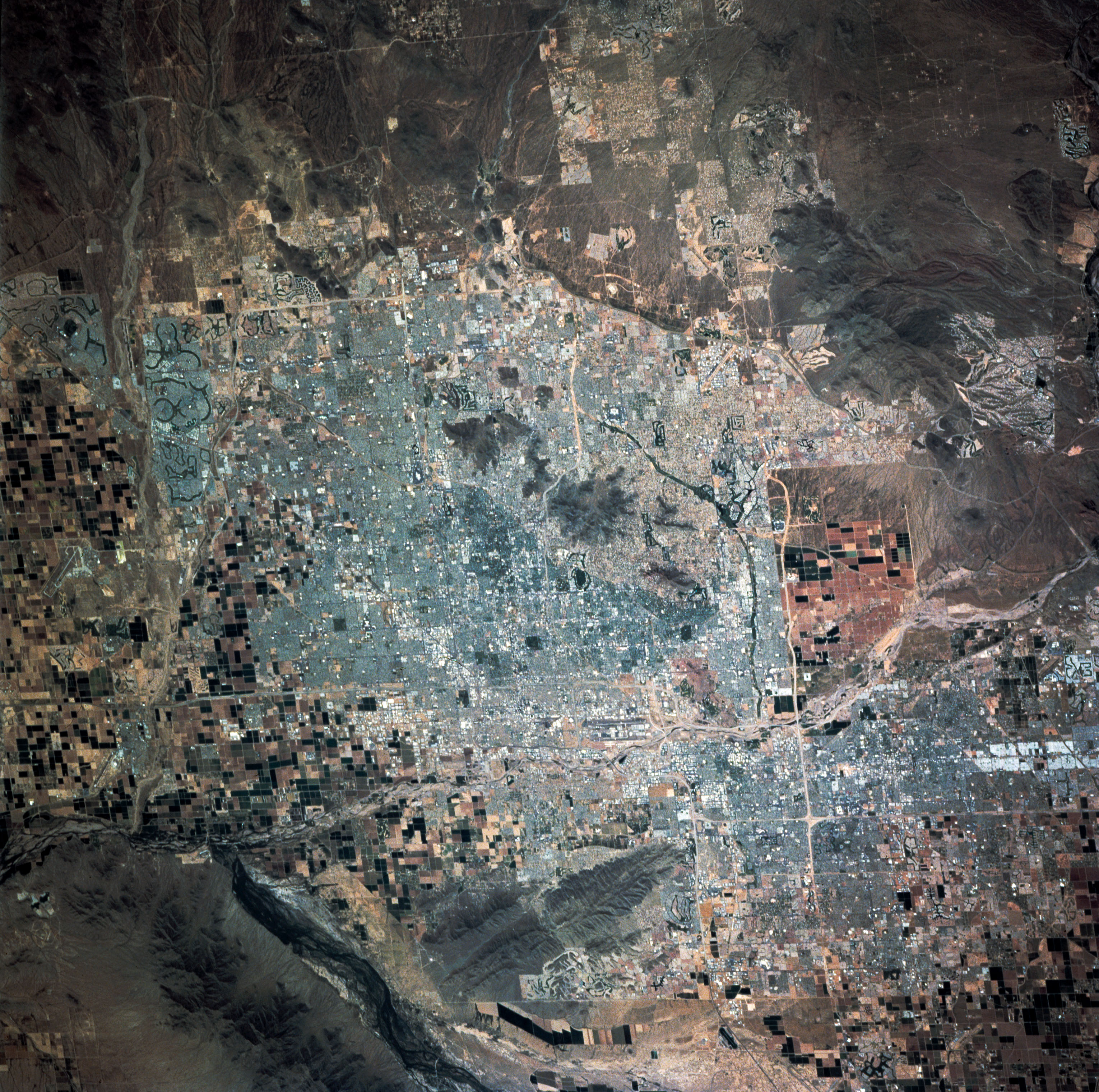
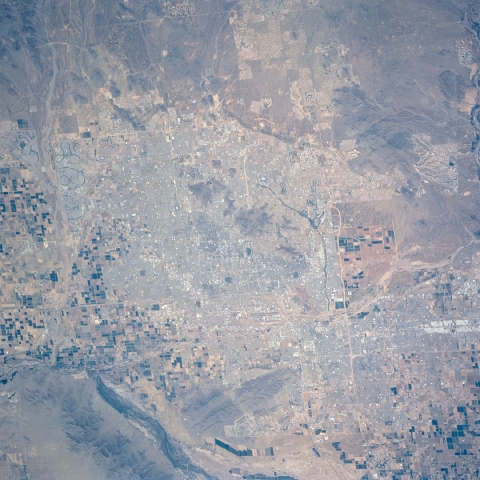
STS090-758-24
| NASA Photo ID | STS090-758-24 |
| Focal Length | 250mm |
| Date taken | 1998.04.20 |
| Time taken | 19:46:43 GMT |
Resolutions offered for this image:
3060 x 3039 pixels 1200 x 1191 pixels 6000 x 5958 pixels 768 x 762 pixels 480 x 480 pixels
3060 x 3039 pixels 1200 x 1191 pixels 6000 x 5958 pixels 768 x 762 pixels 480 x 480 pixels


Cloud masks available for this image:
Spacecraft nadir point: 34.0° N, 110.8° W
Photo center point: 33.5° N, 112.0° W
Photo center point by machine learning:
Photo center point: 33.5° N, 112.0° W
Photo center point by machine learning:
Nadir to Photo Center: West
Spacecraft Altitude: 136 nautical miles (252km)
Country or Geographic Name: | USA-ARIZONA |
Features: | PHOENIX |
| Features Found Using Machine Learning: | |
Cloud Cover Percentage: | 0 (no clouds present) |
Sun Elevation Angle: | 67° |
Sun Azimuth: | 196° |
Camera: | Hasselblad |
Focal Length: | 250mm |
Camera Tilt: | 30 degrees |
Format: | 5069: Kodak Elite 100S, E6 Reversal, Replaces Lumiere, Warmer in tone vs. Lumiere |
Film Exposure: | Normal |
| Additional Information | |
| Width | Height | Annotated | Cropped | Purpose | Links |
|---|---|---|---|---|---|
| 3060 pixels | 3039 pixels | No | No | Cities collection | Download Image |
| 1200 pixels | 1191 pixels | No | No | Cities collection | Download Image |
| 6000 pixels | 5958 pixels | No | No | Scientist Request | Download Image |
| 768 pixels | 762 pixels | No | No | Download Image | |
| 480 pixels | 480 pixels | Download Image |
Download Packaged File
Download a Google Earth KML for this Image
View photo footprint information
Download a GeoTIFF for this photo
Image Caption: none
