STS090-755-60
| NASA Photo ID | STS090-755-60 |
| Focal Length | 250mm |
| Date taken | 1998.04.19 |
| Time taken | 21:27:36 GMT |
Resolutions offered for this image:
4031 x 4031 pixels 639 x 639 pixels 519 x 523 pixels 479 x 480 pixels
4031 x 4031 pixels 639 x 639 pixels 519 x 523 pixels 479 x 480 pixels

Cloud masks available for this image:
Spacecraft nadir point: 39.1° N, 91.0° W
Photo center point: 38.5° N, 90.5° W
Photo center point by machine learning:
Photo center point: 38.5° N, 90.5° W
Photo center point by machine learning:
Nadir to Photo Center: Southeast
Spacecraft Altitude: 140 nautical miles (259km)
Country or Geographic Name: | USA-MISSOURI |
Features: | ST. LOUIS |
| Features Found Using Machine Learning: | |
Cloud Cover Percentage: | 0 (no clouds present) |
Sun Elevation Angle: | 37° |
Sun Azimuth: | 253° |
Camera: | Hasselblad |
Focal Length: | 250mm |
Camera Tilt: | 19 degrees |
Format: | 5069: Kodak Elite 100S, E6 Reversal, Replaces Lumiere, Warmer in tone vs. Lumiere |
Film Exposure: | Normal |
| Additional Information | |
| Width | Height | Annotated | Cropped | Purpose | Links |
|---|---|---|---|---|---|
| 4031 pixels | 4031 pixels | No | No | Earth From Space collection | Download Image |
| 639 pixels | 639 pixels | No | No | Earth From Space collection | Download Image |
| 519 pixels | 523 pixels | No | No | Download Image | |
| 479 pixels | 480 pixels | Download Image |
Download Packaged File
Download a Google Earth KML for this Image
View photo footprint information
Download a GeoTIFF for this photo
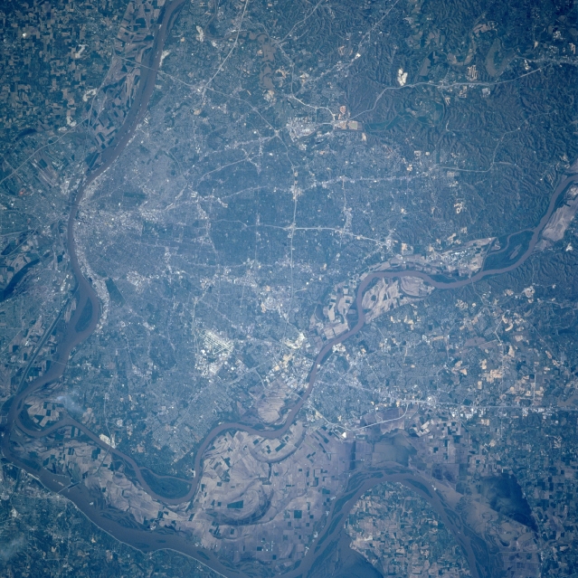
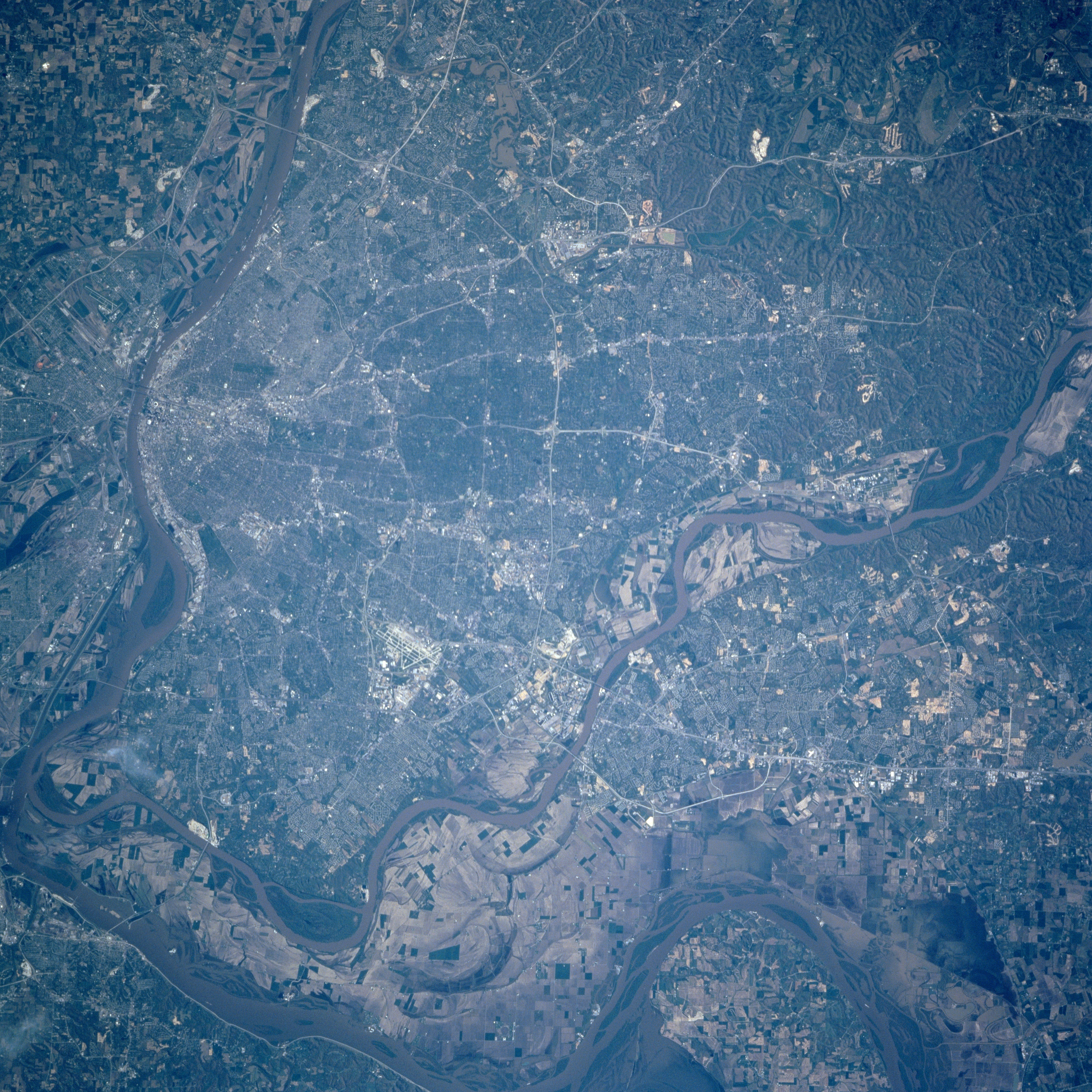
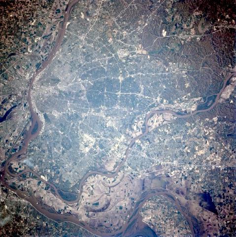
Image Caption: STS090-755-060 St. Louis, Missouri April 1998
The metropolitan area of St. Louis can be seen in this near-vertical-looking view. Bounded to the north by the Missouri River and to the east and southeast by the Mississippi River, St. Louis is the largest city in the state of Missouri. It is a great river-freight handler and a major rail center. St. Louis is the major wholesale, commercial, industrial, financial, medical and cultural center for the eastern Missouri, southwest Illinois region. The metropolitan area of St. Louis is expanding to the west and southwest, and across the Missouri River to the west-northwest. The floodplain area shows almost full recovery from the devastating floods of the spring and summer of 1993. The famous Gateway Arch on the west bank of the Mississippi River symbolizes St. Louis as the 'gateway to the west'.
The metropolitan area of St. Louis can be seen in this near-vertical-looking view. Bounded to the north by the Missouri River and to the east and southeast by the Mississippi River, St. Louis is the largest city in the state of Missouri. It is a great river-freight handler and a major rail center. St. Louis is the major wholesale, commercial, industrial, financial, medical and cultural center for the eastern Missouri, southwest Illinois region. The metropolitan area of St. Louis is expanding to the west and southwest, and across the Missouri River to the west-northwest. The floodplain area shows almost full recovery from the devastating floods of the spring and summer of 1993. The famous Gateway Arch on the west bank of the Mississippi River symbolizes St. Louis as the 'gateway to the west'.
