STS090-752-62
| NASA Photo ID | STS090-752-62 |
| Focal Length | 250mm |
| Date taken | 1998.05.02 |
| Time taken | 14:27:30 GMT |
Resolutions offered for this image:
4044 x 4044 pixels 640 x 640 pixels 505 x 518 pixels 479 x 479 pixels
4044 x 4044 pixels 640 x 640 pixels 505 x 518 pixels 479 x 479 pixels
Cloud masks available for this image:
Spacecraft nadir point: 38.6° N, 76.4° W
Photo center point: 37.5° N, 77.5° W
Photo center point by machine learning:
Photo center point: 37.5° N, 77.5° W
Photo center point by machine learning:
Nadir to Photo Center: Southwest
Spacecraft Altitude: 132 nautical miles (244km)
Country or Geographic Name: | USA-VIRGINIA |
Features: | RICHMOND, JAMES RIVER |
| Features Found Using Machine Learning: | |
Cloud Cover Percentage: | 5 (1-10)% |
Sun Elevation Angle: | 49° |
Sun Azimuth: | 113° |
Camera: | Hasselblad |
Focal Length: | 250mm |
Camera Tilt: | 35 degrees |
Format: | 5069: Kodak Elite 100S, E6 Reversal, Replaces Lumiere, Warmer in tone vs. Lumiere |
Film Exposure: | Normal |
| Additional Information | |
| Width | Height | Annotated | Cropped | Purpose | Links |
|---|---|---|---|---|---|
| 4044 pixels | 4044 pixels | No | No | Earth From Space collection | Download Image |
| 640 pixels | 640 pixels | No | No | Earth From Space collection | Download Image |
| 505 pixels | 518 pixels | No | No | Download Image | |
| 479 pixels | 479 pixels | Download Image |
Download Packaged File
Download a Google Earth KML for this Image
View photo footprint information
Download a GeoTIFF for this photo
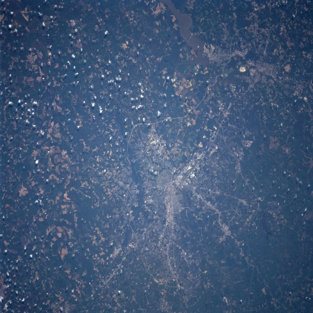
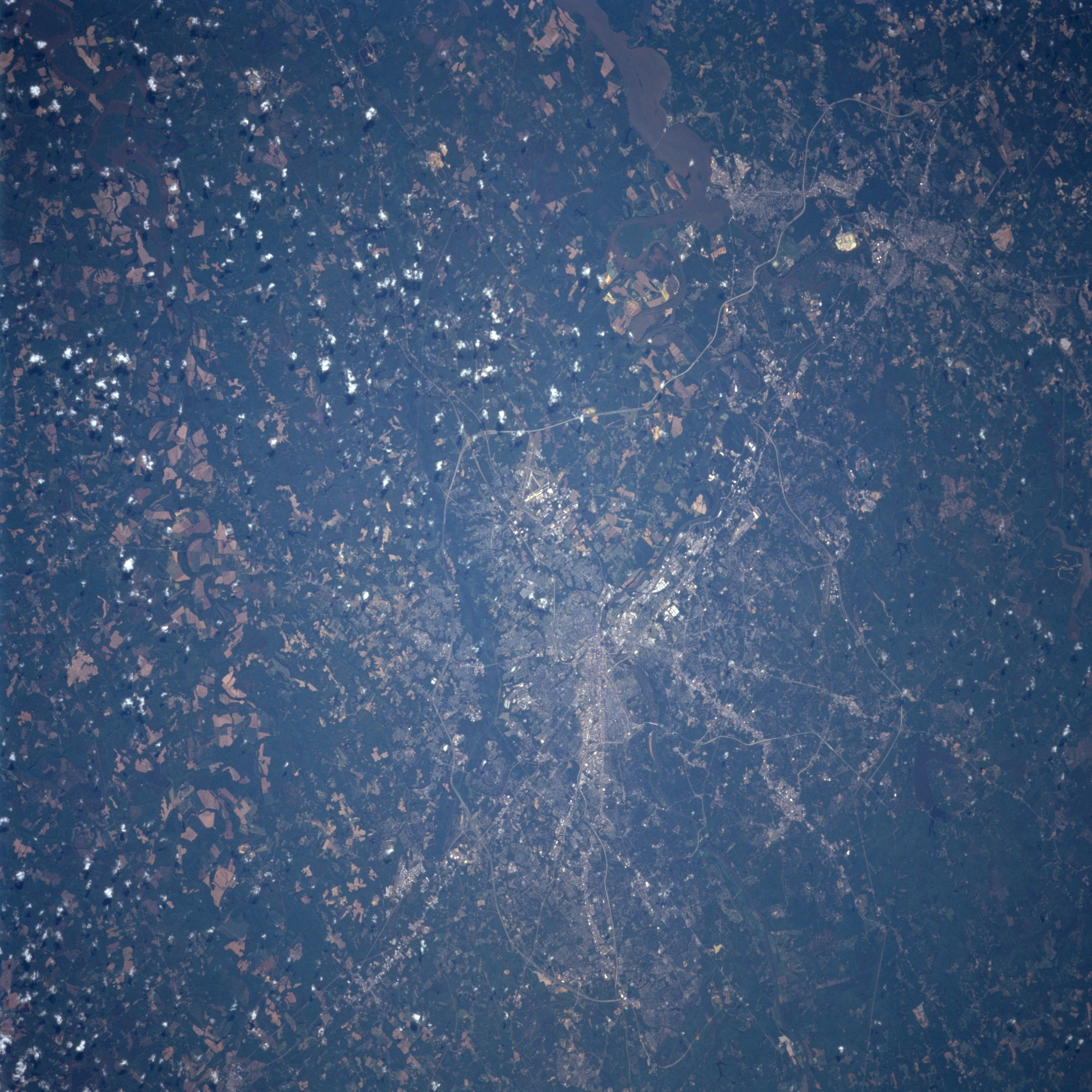
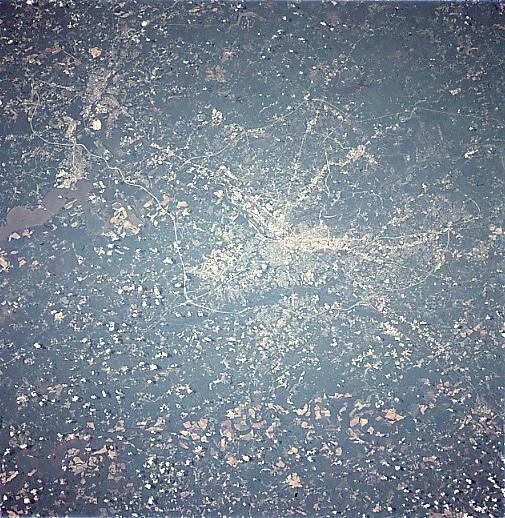
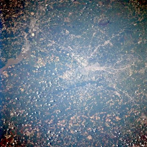
Image Caption: STS090-752-062 Richmond/Petersburg, Virginia April 1998
The city of Richmond is located on the border of the physiographic regions of the Piedmont and the coastal plain. It is situated at the head of navigation on the James River. The city of Petersburg is located on the upper left of the image. The estuary of the James River is visible just below and left of the city. Petersburg is situated on the Appomattox River. Numerous Interstate Highways and other major highway transportation routes are discernible passing around and through both cities. Interstate Highway 295 is visible traversing north and south around the eastern sides of both cities. Swift Creek Reservoir is visible to the west of Richmond and Petersburg.
The city of Richmond is located on the border of the physiographic regions of the Piedmont and the coastal plain. It is situated at the head of navigation on the James River. The city of Petersburg is located on the upper left of the image. The estuary of the James River is visible just below and left of the city. Petersburg is situated on the Appomattox River. Numerous Interstate Highways and other major highway transportation routes are discernible passing around and through both cities. Interstate Highway 295 is visible traversing north and south around the eastern sides of both cities. Swift Creek Reservoir is visible to the west of Richmond and Petersburg.
