STS090-750-67
| NASA Photo ID | STS090-750-67 |
| Focal Length | 250mm |
| Date taken | 1998.05.02 |
| Time taken | 15:57:57 GMT |
Resolutions offered for this image:
4043 x 4096 pixels 631 x 640 pixels 519 x 513 pixels 480 x 478 pixels
4043 x 4096 pixels 631 x 640 pixels 519 x 513 pixels 480 x 478 pixels

Cloud masks available for this image:
Spacecraft nadir point: 38.4° N, 97.1° W
Photo center point: 39.5° N, 98.5° W
Photo center point by machine learning:
Photo center point: 39.5° N, 98.5° W
Photo center point by machine learning:
Nadir to Photo Center: Northwest
Spacecraft Altitude: 132 nautical miles (244km)
Country or Geographic Name: | USA-KANSAS |
Features: | WACONDA RESERVOIR, AGR. |
| Features Found Using Machine Learning: | |
Cloud Cover Percentage: | 0 (no clouds present) |
Sun Elevation Angle: | 50° |
Sun Azimuth: | 115° |
Camera: | Hasselblad |
Focal Length: | 250mm |
Camera Tilt: | 39 degrees |
Format: | 5069: Kodak Elite 100S, E6 Reversal, Replaces Lumiere, Warmer in tone vs. Lumiere |
Film Exposure: | Normal |
| Additional Information | |
| Width | Height | Annotated | Cropped | Purpose | Links |
|---|---|---|---|---|---|
| 4043 pixels | 4096 pixels | No | No | Earth From Space collection | Download Image |
| 631 pixels | 640 pixels | No | No | Earth From Space collection | Download Image |
| 519 pixels | 513 pixels | No | No | Download Image | |
| 480 pixels | 478 pixels | Download Image |
Download Packaged File
Download a Google Earth KML for this Image
View photo footprint information
Download a GeoTIFF for this photo
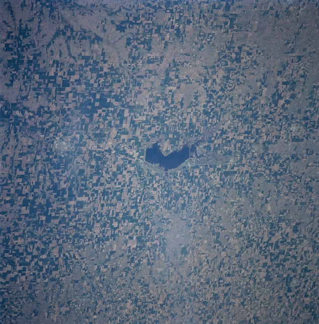
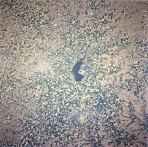
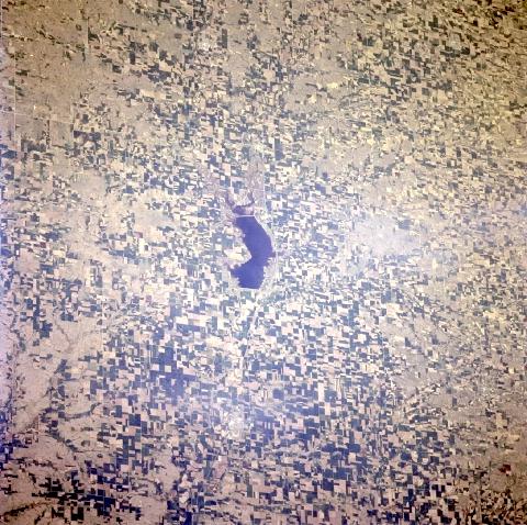
Image Caption: STS090-750-067 Waconda Lake, Kansas April, 1998
Waconda Lake or Glen Elder Reservoir (it is called both) can be seen in the middle of numerous agricultural fields. This lake is the fourth largest lake in Kansas covering 12586 acres (5097 hectares), and is considered one of the state's best fishing lakes. Waconda Lake is located in north central Kansas below the forks of the North and South Solomon River in a region known as the Smoky Hills.
Waconda Lake or Glen Elder Reservoir (it is called both) can be seen in the middle of numerous agricultural fields. This lake is the fourth largest lake in Kansas covering 12586 acres (5097 hectares), and is considered one of the state's best fishing lakes. Waconda Lake is located in north central Kansas below the forks of the North and South Solomon River in a region known as the Smoky Hills.
